


Colorado Hundred Highest Mountains / Centennials

Crossing the keyhole on Longs Peak on day 33. I would finish on Meeker a few hours later
Eric Gilbertson
June 16 – July 19, 2020
New Fastest Known Time: 33 days 23 hours (self-supported, incorrectly listed as “supported” on FKT website)
Peaks: 100 (plus 20 bonus peaks)
Miles hiked: 685
Elevation gain: 295,000ft
Rest days: 1
Longest day: 49 miles, 18kft gain
Most Centennials in a day: 10
The Colorado Centennials are the hundred tallest mountains in Colorado with at least 300 ft of prominence. They range in elevation from 13,809ft (Dallas Peak) to 14,433ft (Mt Elbert). Many are standard hikes and scrambles, but three peaks are technical (Dallas, Teakettle, and Jagged).
In early June I had to cancel international mountaineering plans because of coronavirus travel restrictions, so was looking to climb a bunch of mountain in the US. I had never really climbed much in Colorado, and it was close enough to drive to and not rely on flights. I decided to climb all the Colorado 14ers because they were almost all in national forests and were likely to remain open throughout the summer. By driving I could remain flexible with objectives in case coronavirus restrictions were issued for any of the peaks. One peak – Culebra – had strict access restrictions. But I reserved and paid for a permit to access the peak over private property in late June. The Maroon Bells also had coronavirus-related access restrictions, but I figured out I could legally get around those by hiking in from a non-standard trailhead. So I was all set for the trip.

The route (based on background image from peakbagger.com)
The day before I started the drive I started thinking about what I would do if I finished early. I had scheduled a trip into the wind river range in Wyoming for mid July, so could potentially have extra time before that trip. Many people move on to the centennials after climbing all the 14ers, so that seemed like a logical progression. However, many of the centennials share the same trailheads as the 14ers. So if I finished early I’d end up going back and re-hiking a lot of trails. I did a bit of research and planned out a rough itinerary and it looked just barely feasible to squeeze in all the centennials before my Wyoming trip.
I wanted a bit of buffer time, though, so texted my Wyoming partner Matt Lemke and we agreed I could add on an extra few buffer days before the Wyoming trip. So I officially had from June 16 til July 20 to squeeze in all the Centennials. I’d read that the FKT for the centennials was about 60 days set by Justin Simoni in 2017, so I’d only have about half the time to work with (note: he biked between peaks while I planned to drive, so we were both self-supported but he was self-powered, a much more difficult accomplishment). According to Simoni the total hiking mileage was about 620 miles. That would work out to around 20 miles per day in my time window, which sounded reasonable. When I’d hiked the appalachian trail in 2007 with Matthew we’d averaged 20 miles per day including rest days. But those days were carrying overnight packs, while in Colorado most trips would be day trips. Colorado trails were also supposedly much easier than the appalachian trail (which doesn’t really have switchbacks). I would still have to account for time driving between mountains, but overall it seemed like a feasible objective.

Just after finishing below Meeker
To determine the order to climb the peaks I looked at conditions reports on 14ers.com and tried to start on peaks that had the least amount of snow. In general the front range peaks seemed to be the driest by mid june and have the most recent conditions reports. I was also limited by having to climb Culebra on June 26, the day I’d gotten the permit for. To end I wanted to finish on Longs Peak and Meeker because those were closest to Wyoming, my next destination. I settled on the ideal itinerary to start on Pikes Peak, work my way down the front range to Culebra, then go over to the San Juans, then climb the peaks in central Colorado and finish on Longs and Meeker.
One critical decision I made was to bring a mountain bike. I’d read that most trailheads have a 2wd parking area and a 4wd parking area. My forester had decent clearance and AWD, but no full size spare tire, so I was concerned I’d probably end up parking at the 2wd trailheads most of the time. My old mountain bike had gotten stolen in April and I’d just upgraded to a nice new one with hydraulic disc brakes, so I figured I could use that to bike up to the 4wd trailheads instead of walking to save time and increase fun.
On June 14th I packed up the forester and left Seattle in the evening after the SU commencement had finished up. I made it 5 hours and camped in eastern oregon that night. The next day I drove 18 hours and reached Crag View trailhead just after midnight June 16.
Below is the list of the Centennials in the order I climbed them with a link to a report for each peak
1. Pikes Peak – June 16
2. Dyer Mountain – June 16
3. Mt Sherman – June 16
4. Horseshoe Mountain – June 16
5. Mt Elbert – June 17
6. Casco Peak – June 17
7. Lackawanna Peak – June 17
8. French Mountain – June 17
9. Mt Massive – June 18
10. Mt Oklahoma – June 18
11. La Plata Peak – June 18
12. Grizzly Peak – June 19
13. Mt Hope – June 19
14. Huron Peak – June 19
15. Ice Mtn – June 20
16. North Apostle – June 20
17. Missouri Mtn – June 20
18. Emerald Peak – June 20
19. Mt Oxford – June 20
20. Mt Belford – June 20
21. Mt Columbia – June 22
22. Mt Harvard – June 22
23. Mt Yale – June 22
24. Mt Antero – June 23
25. Cronin Peak – June 23
26. Mt Princeton – June 24
27. Mt Shavano – June 24
28. Tabeguache Peak – June 24
29. Little Bear – June 25
30. Blanca Peak – June 25
31. Ellingwood Point – June 25
32. Culebra Peak – June 26
33. Red Mountain – June 26
34. Humboldt Peak – June 27
35. Columbia Point – June 27
36. Kit Carson Mtn – June 27
37. Challenger Point – June 27
38. Mt Adams – June 27
39. Crestone Needle – June 28
40. Crestone Peak – June 28
41. California Peak – June 28
42. Mt Lindsey – June 29
43. Huerfano Peak – June 29
44. Mt Ouray – June 29
45. San Luis Peak – June 30
46. Stewart Peak – June 30
47. Phoenix Peak – June 30
48. Rio Grande Pyramid – July 1
49. Redcloud Northeast Pk – July 2
50. Redcloud Far Northeast Pk – July 2
51. Redcloud Pk – July 2
52. Sunshine Pk – July 2
53. Handies Pk – July 2
54. Half Pk – July 3
55. Jones Mtn – July 3
56. Uncompahgre Pk – July 4
57. Wetterhorn Pk – July 4
58. Mt Sneffels – July 5
59. Teakettle Mtn – July 5
60. Dallas Pk – July 6
El Diente – July 7
61. Wilson Pk – July 7
62. Gladstone Pk – July 7
63. Mt Wilson – July 7
64. Vermillion Pk – July 7
65. Vestal Pk – July 8
66. Pigeon Pk – July 9
67. Turret Pk – July 9
68. Jagged Mtn – July 10
69. Windom Pk – July 10
70. Sunlight Pk – July 10
71. Mt Eolus – July 10
North Eolus – July 10
72. Jupiter Mtn – July 11
73. Snowmass Mtn – July 12
74. Hagerman Pk – July 12
75. Pyramid Pk – July 12
North Maroon – July 13
76. Thunder Pyramid – July 13
77. Maroon Pk – July 14
78. Capitol Pk – July 15
79. Cathedral Pk – July 15
80. Castle Pk – July 16
Conundrum Pk – July 16
81. Mt of the Holy Cross – July 16
82. Holy Cross Ridge – July 16
83. Mt Democrat – July 17
Mt Cameron – July 17
84. Mt Lincoln – July 17
85. Mt Bross – July 17
86. Mt Buckskin – July 17
87. Quandary Pk – July 17
88. Fletcher Mtn – July 17
89. Atlantic Pk – July 17
90. Pacific Pk – July 17
91. Crystal Pk – July 17
92. Mt Silverheels – July 17
93. Clinton Pk – July 18
94. Torreys Pk – July 18
95. Grays Pk – July 18
96. Mt Edwards – July 18
97. Mt Bierstadt – July 18
98. Mt Evans – July 18
99. Longs Pk – July 19
100. Mt Meeker – July 19
June 16 – Pikes Peak, Dyer Mtn, Mt Sherman, Horseshoe Mtn
I arrived at the Crag View trailhead shortly after midnight and soon went to sleep in the back of the forester. I was woken up at 5am by other cars arriving, so I quickly ate some breakfast and started hiking. I’d read the trail was snow free so just packed some snacks, water, and rain jacket in my small black daypack. The trailhead elevation was around 10,000ft, but luckily I wasn’t having any altitude problems despite coming directly from sea level. In general I am lucky enough to not have much trouble below about 16,000ft, so wasn’t concerned about starting directly on the Centennials.
I hiked up the well-graded trail to treeline and then soon crossed the road at Devil’s Playground. I’d contemplated biking up the road, but that would have taken longer so decided against it. The trail paralleled the road until just below the peak, then climbed steeply up the talus. I reached the summit at 9am, and that’s when the clock officially started ticking for my centennials time. There was a bunch of construction going on, so I snapped a picture next to the summit sign then walked down the trail a bit to find a quiet area. A lot of people had taken rides up in vans and were walking around, and it appeared I was the only one who had hiked up.
I admired the view a bit, then started down. On peakbagger I noticed a few other named bumps on the hike down, so made short side trips to Little Pikes, Little Pikes North Peak, and Devils Playground Peak before getting back to the trailhead around noon.
Even though it was a tuesday the lot was now overflowing with cars! I would come to learn that trailheads in Colorado are much more crowded than those in Washington, regardless if it was a weekend or weekday.
I had originally planned on resting at low elevation the rest of the day to acclimate, but I was feeling fine and the weather was great so I decided to bag some more peaks. I drove west to Leadville and started working on front range peaks. I drove up a deteriorating road up Iowa Gulch, past a big snow drift pinching off the road, and parked next to a truck around 3pm. I figured I could do a loop there and hit three more centennials plus a few bonus peaks.
From the lot I hiked straight up the talus and scree slopes to the summit of Dyer Mountain. From there I descended snow slopes then hiked up a climbers trail in the scree to Gemini (a bonus peak), then across to Mt Sherman. I dropped down the south ridge of Sherman, traversed around Sheridan on a steep snow slope, then hiked talus and scree up Horseshoe Mountain. There was actually a summit register on Horseshoe. I would discover on the trip that most 14ers have broken empty summit registers (probably broken because too many people open them) while the 13er centennials often have usable summit registers (probably because not as many people climb those peaks). I would also discover that no matter what day I climbed a peak, there would be somebody on the summit when I got there or somebody would have recently been on the summit.
Horseshoe felt kind of remote, but in the summit register a bunch of people had already climbed it that day! I’m used to climbing peaks in Washington where the peaks get only a few ascents per year (even for peaks on the hundred highest list), but in Colorado peaks seem to get ascents every day. I descended back down the north ridge, then went up and over Peerless Mountain and Mt Sheridan (bonus peaks), and descended directly down the north slope of Sheridan back to the car. There was a guy trail running with his dog but otherwise I was the only one on the peaks.
I made it back around sunset, and started driving back to town. After picking up some water and snacks at the gas station in Leadville I started driving toward my next objective, Mt Elbert. I drove up the deteriorating Half Moon Creek road, past the standard Elbert trailhead, to park at the confluence with South Halfmoon Creek around 11pm. I quickly cooked some pasta and went to bed in the back of the forester.


Back to top
June 17 – Mt Elbert, Lackawana Peak, Mt Casco, French Mountain
I had previously climbed Mt Elbert in a weekend trip with Matthew in 2009 while working on state highpoints, but wanted to repeat it for the Centennials FKT. There were three other centennials sort of nearby and I figured out I could connect them via a big lollipop loop involving my mountain bike. This would require a nonstandard route up Elbert and lots of off-trail travel, but sounded fun.
The weather was supposed to be clear so I slept in and left the car around 7:30am. I waded across the deep half moon creek carrying my bike, then biked and pushed my bike up the rough 4wd road up south half moon creek. At 10,800ft the road crossed the creek again where a bridge had washed out and I again waded across. I don’t see how any vehicle could get through the boulders, but I saw jeep tracks on the other side.
I biked up to just below the west face of Mt Elbert, then locked my bike up to a tree in the woods and started up. I soon broke out of the trees and ascended steep scree and talus slopes. As I got higher I found some solid class 3 blocks to scramble up, and reached the summit around 10am. I had the summit to myself for about 30 seconds (a long time for a 14er in colorado), so snapped some pictures then hiked a bit south to a sheltered spot to take a break.
I then briefly followed a trail south, but soon would leave the trail for the rest of the day. I scrambled down the south ridge to Bull Hill (bonus peak), then followed the northwest ridge to the summit of Casco Peak. From there I made a long out-and-back scramble to tag Lackawanna peak, then went up and climbed Casco again. Unfortunately there was a cliff on the west side of Casco so I basically had to go up and over the summit for my loop.
The north ridge from Casco to French looked intimidating from a distance, but turned out to be fun class 3 scrambling much of the way. I scrambled up the southwest ridge of French and stopped to admire the view. Surprisingly I saw ski tracks on a steep couloir on the north side of Frasco and on the snow slopes on the northeast side of Casco. I thought I was deep in the wilderness, so was surprised to see signs of other people. I was again learning the lesson that the mountains in Colorado are much more accessible and much more crowded than the Cascades.
From French Mountain I descended straight down the south slope, then bushwhacked through willow bushes and swamp back to the 4wd road. From there it was an awesome bike ride back to the car. I had to wade through the creeks again, but it felt good cleaning off my feet and legs. I car camped again in the same spot, since my peaks the next day were also nearby.


Back to top
June 18 – Mt Massive, Mt Oklahoma, La Plata (20 miles)
I wanted to climb Massive and Oklahoma in a day and it seemed possible to connect them via another ridge run. I’d gotten cell service on French Mountain the previous evening and discovered that ridge was supposedly 3rd class, so it sounded like the trip would work. I had also checked the weather forecast and realized that the clear weather I’d had the last few days probably wouldn’t last. In general the days were trending more towards having afternoon thunderstorms. So I got up earlier on June 18 and started biking farther up the Half Moon Creek road around 4am.
The next trailhead for Mt Massive was just a mile or so up the road, but the road deteriorated enough that I didn’t want to chance it in my forester. The mountain bike had no problem, though, and I soon reached the southwest slopes trailhead. I locked my bike up in the woods and started up the trail. I soon left the woods as the trail switchbacked steeply up the southwest slope, and I reached the summit around 7am. Two other hikers were just heading down.
I took a short break, then hiked along the northwest ridge. I encountered some fun scrambling up Mt Massive Northwest Peak, then crossed a flat snow slope to the west. The north ridge of Oklahoma from a distance looked too steep and knife-edgy to work, but as I got closer it turned out to be more fun 3rd class scrambling. I finished by scrambling up talus to top out mid day. This summit I had to myself, which was pretty normal for the 13er centennials, but rare for the 14ers.
To descend I plunge stepped down the south side snow slopes, then scree surfed and bushwhacked back to the trail. I hiked back to my bike and had a fun bike ride back to the car. Surprisingly there were now a half dozen vehicles parked along the road just where it started getting rough, with more vehicles trying to park. It was a Thursday afternoon, but I guess that’s the start of the weekend in Colorado and things were starting to get crowded already.
I continued biking back down to the bigger pullouts where I’d parked, and then drove back to Leadville. I had some extra time in the afternoon so stopped for an hour and whipped out my laptop and wifi hotspot to take care of some final unfinished school stuff before continuing driving south. I made it down to Twin Lakes, then drove up towards Independence Pass. The weather still seemed ok and it was only mid afternoon, so I decided to tag on La Plata as a late-day hike.
I parked at the Lake Creek trailhead, which surprisingly had spots open. I think I got there so late that people had already finished their hikes and left, leaving me a spot to park. From the trailhead I walked along the road about half a mile then turned off onto the northwest ridge trail. The half mile seemed too short for the bike to be worth it given extra time locking and unlocking it from the car and from trees in the woods.
I passed a bunch of people hiking out, including some skiers. Eventually I popped out above the trees as the trail switchbacked up a steep west slope. Clouds were getting darker, but it was spotty and clear patches soon materialized so I wasn’t too concerned. I passed the last group descending near the summit and topped out around 4pm. It was a rare 14er summit I had totally to myself, probably because of the late hour.
The clouds did look menacing in the distance. I could pick out my loop from the previous day over Elbert and Casco in the distance, which was neat. I soon descended before the weather could get worse, and was back to the car a few hours later.
My next peak was Grizzly Peak, which I could approach from the same road I had just walked on, the South Fork Lake Creek Road. I loaded up the car and started driving on the dirt road. It was rough but manageable in the forester. Interestingly, within half an hour it started raining and I was glad to be off La Plata. I eventually made the turnoff up McNassar Gulch and got two switchbacks up before I chickened out and parked where the road got rough. I cooked some pasta then went to sleep in the car as it continued to rain and hail outside.


Back to top
June 19 – Grizzly Peak, Mt Hope, Huron Peak (29 miles, 11kft gain)
I got up at 3am to start hiking, but it was still raining so I went back to sleep. Finally by 5am the rain let up and I got started. I rode by bike up the McNassar Gulch road, and soon passed a very rutted section of road with lots of fresh tire tracks. There was actually a car jack sitting on the side of the ruts, and it looked like someone must have gotten a flat but accidentally left the jack. I was glad I didn’t try to drive any farther than I had.
I continued biking to a locked gate at the normal 4wd trailhead. The road continued, so I easily biked around the gate. It was much more overgrown there but still passable. I eventually reached the edge of treeline at an old miners cabin, then hit a huge snowpatch at a tailings pile near the end of the road. I ditched my bike there and continued on foot.
The cirque below Grizzly and Garfield peaks was beautiful with clouds rolling in and out and fresh snow on the summits. I walked up the snow-covered grass, then up to a steep scree slope leading up to the east ridge of Grizzly. I’d brought my micro spikes and whippet so kicked steps up a steep snow slope nearby, which made for faster travel than the scree. As I topped out on the east ridge it got windy and started snowing as visibility dropped. I followed some climbers trails in the snowy scree then scrambled up some wet and snowy boulders to eventually reach the summit.
Brief breaks in the clouds revealed nice views down to Lincoln Creek to the west. It was actually quite cold, though, so I soon retreated the way I’d come. The bike ride down was amazing, and I reached the car in the late morning.
I quickly loaded up and started driving to my next objective, Mt Hope. I drove back the rough road to the La Plata trailhead, then continued down towards twin lakes. I turned off to the Willis Gulch trailhead, but then realized the road was gated at the campground and that approach would be much longer than the approach from the south. So I instead got back on the main road and drove down clear creek to the Sheep Gulch trailhead. Interestingly I was the only car in the small lot, though this was probably because Mt Hope is not a 14er.
I scarfed down some lunch and headed up with a light pack around 11am. The forecast for the day was for afternoon rain and snow showers, but no thunder, so it seemed pretty safe. I hiked up the colorado trail a few hours to a pass between Hope and Quail, then scrambled up the east ridge to the summit of Mt Hope around 1pm. Rain and snow showers were hitting mountains in the distance but luckily I was not in any imminent danger of getting hit. I spent a few minutes juggling 5 snowballs from all the fresh snow around, and getting some pictures, then headed down.
I reached the trailhead an hour or two later, ate a bunch more food, then continued driving up clear creek to the South Winfield Trailhead. By now the skies had cleared and it was sunny and hot. It was a Friday afternoon and all the trailheads were starting to fill up. I found a spot just before the road got rough and started packing up for the next peaks.
I wanted to hit Huron, Ice Box, and North Apostle next, and they were all accessible from a 4wd trailhead a few miles farther up the road. It was 4pm by then and I didn’t think I’d have time to hit them all that evening, so I decided to camp out at the 4wd trailhead that night. I loaded up my pack with overnight gear and bike repair gear and soon started biking up. Interestingly I soon caught up to a Jeep driving slowly up the road, and he let me pass. The mountain bike was definitely the right choice for those roads – it was faster than the trucks and jeeps up and down!
I passed tons of hard core vehicles parked at campsites and eventually reached the end of the road at a small lake. I quickly set up my tent, locked up my bike, packed a small daypack, and started hiking up the northwest slopes route on Huron. A few people were heading down, but I mostly had the route to myself. I was beginning to like hiking 14ers at non-standard times so the routes wouldn’t be so crowded.
After passing a few nice tarns and going up some switchbacks I topped out around 7pm. I looked around to my next peaks – Ice Box and North Apostle, and they looked pretty snowy. I had cell service and pulled up the summitpost descriptions and it sounded like Ice Box could have some steep snow early season. A recent 14ers post made it sound like the climb required two tools and technical crampons, which made me concerned that I hadn’t brought the correct gear (I later learned that was for a couloir route that was not in fact the route I intended to take).
I sent out a few work emails from the summit then hustled back down to camp. I passed a few people hiking up, perhaps planning to see sunset from the summit. Back at camp I started to worry about needing more gear for Ice Mountain, and considered biking back to the car to get it. Then I realized I had forgotten to pack my stove. I really didn’t want to eat cold soaked pasta, so that settled it – I would have to go back to the car and get more gear.
I got back on my bike and quickly started down the road. I soon caught up to a truck driving slowly, and it was frustrating that he wouldn’t let me pass, even when there were obvious pullouts. The road eventually reached a small fork where there were two options to get around a tree, and I blasted by the truck there. I cruised back down to the car and loaded up my stove, evo nepal mountaineering boots, second ice tool (I already had my whippet at camp), and steel crampons. I then biked back up the road and reached camp before dark. After a nice meal of hot ramen I crawled into my tent around 9:30pm and went to sleep.


Back to top
June 20 – Ice Mountain, North Apostle, Missouri Mtn, Emerald Peak, Mt Oxford, Mt Belford (34 miles, 12kft gain)
The next morning I left camp at 4:30am heading up the south fork clear creek trail. I soon reached the basin below North Apostle and Ice reached a good viewpoint of the route. I saw continuous snow up a couloir on the north side of ice, but it looked like a nearly snow-free route to the col between the peaks. My intended route was to reach the col and take the northeast ridge up Ice and the southwest ridge up North Apostle, and the entire route looked snow free. I had been carrying my mountaineeing boots and ice axe on my pack, so ditched those on a boulder and continued with my whippet and crampons just in case there was a little bit of snow.
I passed a group of two people headed toward the couloir route and I soon scrambled to the col between the peaks. From there I scrambled directly up to northeast ridge to near the summit of Ice. I think I must have gotten off route near the top because I ended up scrambling some down-sloping exposed rock slopes before reaching some talus and finally the summit. On the way down I dropped down a different gully and found some more solid 4th class rock to downclimb that was much less exposed.
Back at the col I easily hiked up the class 2 talus to the summit of North Apostle, which I also had all to myself. I then hiked straight down to the basin where I’d stashed my gear, and noticed Ice Mountain was starting to get crowded. There were three parties going up the couloir, and I was glad to be far from the ice fall danger of that situation. Another group was hiking up, and they were going for the ridge route I’d taken. Luckily nobody had stolen my boots and ax. I packed up my gear and hiked back out to my tent by 11am. Interestingly I noticed another mountain bike locked up at the trailhead. This was the only time over the whole summer that I saw another person who had biked to the 4wd trailhead like I always did.
I packed up then biked back down to my car, then drove back down the clear creek road to the Missouri Gulch trailhead around noon. I saw cars parked along the side of the road well before the trailhead and was worried it would certainly be full, but luckily I found a spot right near the start of the trail. Yet again my schedule of arriving at non-standard times had paid off. The weather forecast was clear for the afternoon, so there was no risk for doing a late-day hike.
I scarfed down more food, packed up my little daypack, and headed up by 12:30pm hoping to hit four more centennials before dark.
There were tons of people hiking down, which was not too surprising for a front-range peak on a saturday. Most everyone was very friendly and moved off to the side of the trail as I also moved over. But a lot of trail runners coming down unfortunately would not make an effort to move over.
By the time I popped out above treeline the crowds had cleared and I mostly had all the peaks to myself. I started by following the trail up the northwest ridge to Missouri Mountain, then descended off trail down the south ridge to Iowa peak (a bonus peak). I saw some mountain goats in the col below, and dropped down then climbed the north face of Emerald Peak. From there I descended northeast down some snow slopes to some beautiful tarns in a flat meadow below Iowa.
Eventually I merged with the trail up to Elkhead Pass, then followed the west ridge to Mount Oxford. I then retraced the ridge back up and over Mt Belford as the sun was setting. I saw one trail runner who had just topped out on Belford and was heading back down, but otherwise I had been the only hiker around for all the peaks.
I hiked steeply down the switchbacks from Belford as the sun set, eventually staggering back to the car by 9:30pm. It had been a long 34-mile day with 12,000ft elevation gain, and coupled with the previous long days over the week my feet were in tough shape with blisters and hot spots. I made the decision to give my feet a rest day to recover, and give me time to recover on sleep a bit. So my plan was to sleep in the next morning, then find a hotel to stay in the next day.
Trailheads are generally bad places to sleep in, since people tend to arrive very early and closing car doors can be noisy, so I drove and in search of a different spot. Luckily I found a nice pullout close down the road and managed to go to sleep by 10:30pm.
I slept in the next morning til 10am, which felt great. I then drove to Leadville and found a nice hotel to stay in. I ran errands like doing laundry and filled up on Ben and Jerry’s ice cream and Pizza Hut pizza that night.


Back to top
June 22 – Mt Harvard, Mt Columbia, Mt Yale (23 miles)
I got up early and left the hotel in Leadville around 3:30am, reaching the North Cottonwood trailhead by 5am. It was full of cars, but I was the only one heading up then (probably because it wasn’t a weekend). I packed up and headed up the trail by 5:30am. Soon a trail runner from Estes Park passed by and we chatted a bit. He was doing the Columbia-Harvard loop in the opposite direction I was, so we’d probably see each other again.
I started with Columbia first, and passed a 14ers initiative trail crew working hard on the switchbacks up high. I passed a few girls soon after then topped out with the summit to myself. I then dropped down the northwest ridge, traversed some snow slopes below point 13497, and started scrambling up the east ridge of Harvard. Around then I passed by the trail runner, who was moving much faster than I was, and another group of hikers. I eventually reached the top of Harvard around 10am and admired the view for a while.
From Harvard I scrambled directly down the south face and followed the trail down horn fork creek. My grand plan was to tag on Yale as well, and I think this was a non-standard loop to combine all three peaks. When the trail crossed horn fork creek I bushwhacked down to make a shortcut and intersect the trail up North Cottonwood Creek.
I followed the trail up to Kroenke Lake and then started hiking cross country up the northwest ridge of Yale. It was around 1pm by then and the skies were getting dark, but I thought it would just be rain showers so continued up. By 2pm I reached the summit of Yale just as a few low rumbles of thunder started in the distance. This was my first real experience with a thunderstorm in Colorado and I got off the summit within a few seconds, quickly descending down the north face. I’m used to mountaineering in the Cascades in the summer, and there are never thunderstorms in the cascades. So this was kind of a new phenomenon to me, needing to beat afternoon storms. I vowed to be more careful in the future to not be on summits in the afternoons if possible.
I hiked to a col between Yale and point 13105, then dropped down the northwest side on scree and talus slopes and bushwhacked back to the trail. I made it back to the car by 5pm, as the thunderstorms were finishing up and passing by, and started driving to my next mountain.
Princeton was the next one south, but I’d read that there was no camping allowed at the Princeton trailhead, so instead decided to do Antero next. My grand plan was to do a big loop hitting Antero, Cronin, Shavano, and Tabeguache Peak. I drove down to the Baldwin Gulch trailhead, but it was next to the main highway and there were a bunch of no camping signs along the road. There were also a bunch of private cabins nearby, so I was worried people would actually care if I camped there. I peeked up the road to the 4wd trailhead and didn’t dare take my forester up.
This was a scenario that would be all to common in my centennials experience: the 2wd trailhead for a peak is on private property with no camping allowed while the 4wd trailhead is on national forest service land where camping is allowed, but the road was too rough for me to drive. As before I decided to bike up the road a ways and camp, then hike the rest the next day. This strategy was less efficient than just car camping, since I’d have to carry a heavy pack part of the way and set up and break down camp, but seemed like my only option.
So I packed up at the 2wd trailhead and started up the rough Baldwin Gulch Road. It was actually so steep and loose than I ended up pushing my bike up most of the way. After an hour I finally reached a flat area on the side and turned off to set up camp. I cooked some ramen noodles and went to bed around sunset.


Back to top
June 23 – Mt Antero, Cronin Peak (21 miles)
I left camp around 4:30am biking and pushing my bike up the rough Baldwin Gulch Road. I eventually reached the 4wd trailhead listed in Gerry Roach’s guidebook, but the road continued. I continued pushing and riding, and after an hour a toyota 4runner passed me going up. I was kind of surprised it had made it so high, since it had about the same clearance as my forester. I guess I’m just not as brave with my vehicle as drivers in Colorado.
Interestingly once the road got above treeline the quality increased dramatically and I was actually able to bike most of the rest of the way. There were nice gradual switchbacks and the rocks on the road weren’t as loose. I reached an intersection at 13,000ft and a sign said the road was maintained by the rocky mountain off-road vehicle club. I turned left and continued up towards Antero. The 4runner was parked at 13,700ft, just a few switchbacks before I reached the end of the road at 13,800ft at an old mining site. Interestingly this almost exactly tied my altitude record for riding my bike. In 2014 I had biked from sea to summit on Mauna Kea in Hawaii (13,796ft). On that ride I’d biked 100% of the way and started at sea level, while on this ride I’d started at 9,400ft and pushed my bike at least a third of the way. But this one would still be very fun to bike down.
I parked the bike and noticed a few hikers taking a break before heading up. I started up and made the short hike to the summit, where another group of hikers was hanging out (the group from the 4runner). I made sure to touch the highest rock, then noticed the clouds were starting to build uncharacteristically. I was starting to pay closer attention to the weather now after my thunderstorm experience on Yale earlier. It was only 7:45am and clouds were building like they usually would at 11am.
I kept this in mind and descended to my bike. By now a group of four guys on ATVs had arrived and were hiking around the mining site with shovels. I wondered if they had a mining claim in the area and were perhaps responsible for the road still being driveable. I mounted my bike and had an awesome descent down 1000ft back to the intersection. On the way one Jeep was driving up and I informed him of the road conditions. Back at the intersection I biked west along the ridge on an older long-abandoned mining road to the saddle just below Cronin Peak and dropped my bike there. I locked the back wheel to the frame just in case somebody wandered by and wanted an easier way down than hiking.
It was an easy hike up talus slopes to Cronin, and I signed in the summit register and rested behind the small rock wall. My next objectives were Shavano and Tabeguache, so I descended the southwest ridge of Cronin and then dropped down at the saddle. I started rounding the east ridge of Lo Carb and then noticed the clouds were getting considerably darker. It was 10am by that point and I estimated I could maybe tag the next two peaks by noon. But the storms seemed to be coming in earlier than normal, and I was nervous about getting back to my mountain bike in early afternoon still above treeline. Biking seemed riskier than hiking above treeline in a thunderstorm.
With the memory of my experience on Yale fresh in my mind I made the call to abort and bailed out back to the bike. I reached the bike at 11am and right then it started hailing. In my experience in Colorado hail is always followed shortly after by thunder and lightning, so I started moving faster. I quickly biked back up the ridge to the 13,000ft intersection and then began my descent down the road. It was an amazing descent, much funner than having to walk down or drive down. I passed one Jeep driving up but soon made it to safety below treeline as the storms rolled in.
It was tough biking down the very loose sections below treeline, but I managed and didn’t have to walk the bike at all. As I got lower I passed lots of vehicles coming up – dirt bikes, ATVs, and hard core trucks. I think everyone was there for the drive, not to hike any peak. I soon made it back to my camp, packed up my gear, and biked back down. I was very happy to have hydraulic disc brakes. I don’t think my old bike with rim brakes would have survived the 4kft steep descent. I passed one other biker pushing her bike up, but I think she was just going to the 4wd trailhead and turning around, since I saw here back down at the bottom soon afterwards.
At one point I was a bit worried about overheating the brakes and decided to touch them to see if they were hot. Well, they were certainly hot and I can’t say I recommend that kind of test. I still have a scar on my finger from that little test. I cooled them off in a stream but I later learned that runs the risk of warping the disc, so it’s best to just let them cool in the air. By 1pm I made it back to the car and took a break to eat lunch.
I wanted to continue making progress on Centennials despite the storms, so the strategy I came up with and would use in the future was to hike/bike up to the edge of treeline for my next peak and camp there. The next peak was Mt Princeton, and I chose to drive to the Mt Princeton Road trailhead since this would allow me to bike up the highest. (The grouse canyon trailhead would have been closer but wouldn’t allow me to involve my mountain bike).
I got to the trailhead a few hours later, packed up my camping gear again, and started up. For reference the Mt Princeton Road trailhead also annoyingly has a bunch of no camping signs. The road was in decent shape and I could definitely have made it up in my forester, but I’d read that there was road construction going on mid week and the construction workers had requested nobody drive up the road since it would be very hard to pass the construction vehicles. Nevertheless I saw people driving up and down, and even one outback that had a flat tire. I was happy to be on my mountain bike.
I was able to bike most of the way up to the radio tower, and the road continued so I kept biking. I made it all the way to 11,800ft where the trail turned off up the mountain. From there I carried and pushed my bike up to 12,000ft to a small flat bench at the edge of treeline. I set up camp there and contemplated summitting for sunset. I discovered there’s often an evening weather window if the afternoon storms fizzle out soon enough. But that didn’t appear to be the case this time, with dark clouds still enveloping all the peaks. So I went to sleep early with plans for an early summit the next morning.


Back to top
June 24 – Mt Princeton, Mt Shavano, Mt Tabegauche
After having to abort my grand plans the previous day due to early thunderstorms I decided to start shifting my schedule earlier to cram more hiking hours into the day. I got up at 2am and was soon hiking up the trail. It was a bit hard to follow in the dark above treeline but I eventually reached the southeast ridge of Princeton. For reference, the quad shows an old 4wd road going up to 12,800ft on the east face of Princeton but this road doesn’t actually exist. The road ends at 11,800ft and from there it is just a trail.
I followed the southeast ridge to the summit, topping out at 4am. I hung out for a few minutes in the shelter of a rock wall, but predictably there was no view. I soon headed back down, and was treated to the start of alpenglow as I descended. I met another hiker ascending near treeline and he was confused how I was already coming down, until I told him I had camped out. I packed up and started biking down the trail at 5am as another hiker was starting up the trail. I think he was also a bit confused.
It was very fun biking down the road, and the lower I got the more people I saw walking up. It was definitely worth it to have the bike when so much of the hike was on perfectly bikeable road. I reached the car by 6am, loaded up the bike, and started driving south to go for Shavano and Tabegauche.
By 7:15am I reached the Blank Gulch trailhead, which was surprisingly full for a Wednesday morning. I was probably pretty late for a normal morning departure, but figured I’d hike fast and hopefully summit before the storms came in. I was moving by 7:30am and made good time up the trail, passing a few parties on the way. It was very hot and sunny, though I knew clouds would eventually be building to the west. Above treeline I saw some ski tracks in a snow gully to the south that I think is called the angel of Shavano. I thought about how it would have been fun to bring my skis along, but they wouldn’t actually make my trips any faster since I would just end up carrying up and down most of the miles.
I crested the col south of Shavano and there caught up to a bunch of parties. I passed most of them and soon found myself on the summit of Shavano. I actually didn’t even take a break there because I wanted to tag Tabegauche before the storms came, and I’d be coming back over Shavano anyways. I descended to the col north of Shavano then hiked up Tabegauche by around 10:30am.
It looked clear enough there that I stopped to take a break and eat some food along with a few other hikers. It’s kind of hard for me to get used to peaks in Colorado where there are always a ton of other people. I’m used to Cascades peaks where there are never other groups. So as another party started approaching I packed up and headed down. I had to climb back up and over Shavano but was soon safely back below treeline before noon. As expected the dark clouds started building around then and a bit of light rain started. Surprisingly I saw a trail runner heading up, and I wondered how high she would continue with that weather.
I got back to the car in the early afternoon and started thinking about my schedule. I needed to climb Culebra on Friday June 26 since that was the day I’d bought the permit for. It was currently Wednesday. There were a bunch of peaks between me and Culebra I still needed to do. One of the peaks, I had decided, had to be climbed mid-week for safety, though – Little Bear. Little Bear is considered the most dangerous 14er by its standard route because the route goes through a narrow 4th class feature called the hourglass, which is very vulnerable to rockfall from any climbers above. I would love to be the only climber on that route, which meant I needed to avoid Fridays, Saturdays, and Sundays. So I decided to go for Little Bear the next day and try to get it very early in the day.
I drove down towards Durango and then up the Lake Como Road until it got too rough for my comfort level. The Lake Como Road, which accesses Little Bear, Blanca, and Ellingwood, is actually a pretty famous road. According to a sign at the entrance it is known as the toughest 4×4 road in Colorado and among the top 10 toughest 4×4 roads in the world. The main difficulties are three rock features in the road called Jaws 1, Jaws 2, and Jaws 3, which are generally impassable to stock vehicles.
I had no intention of trying to drive up this road, but it did sound like a fun one to mountain bike. It was late afternoon with plenty of daylight left, so I packed up my camping gear, took my bike of the rack, and started up the road. I was mostly pushing my bike up the very loose rocks down low, but eventually the road improved a bit and I could bike. Soon, however, it started getting worse and I continued pushing. It was funny to see all kinds of fire rings on the side of the road next to pullouts. I think drivers get as high as they can and then build a fire to show their highpoint.
I passed a truck parked just below a particularly steep and loose section with big boulders, and that was difficult to even push my bike up. The road got worse after that, until I reached a big lifted Jeep Grand Cherokee with a winch on the front and no windshield, parked on the side of the road below a huge rock outcrop. I think that was Jaws 1. I couldn’t believe any vehicle could get over that, but my guess is that lifted Jeep could do it. I suspect that Jeep is just left there permanently with it’s sole purpose getting past the Jaws obstacles. People can drive up to the base of Jaws 1 in stock vehicles and then use that modified vehicle to get farther.
I pushed my bike past Jaws 1 and then the road got really bad – steep with large steep rocks everywhere. I passed two more difficult rock outcrops and then finally reached Lake Como just at sunset. There were two guys fishing but otherwise I was the only one there. I set up my tent in the woods and decided to get up early the next morning to try to get Little Bear to myself.


Back to top
June 25 – Little Bear, Blanca, Ellingwood Point.
I left camp at 4am and scrambled up talus and scree slopes to the west ridge of Little Bear. As dawn was starting I traversed over to the base of the hourglass and luckily I was the only climber. The hourglass was a narrow bottlneck feature of steep, smooth rock below a lot of loose rock. I climbed around some snow at the base then started up. There was a fixed rope in the middle, but I didn’t touch it since I knew it would be of dubious quality given all the rockfall on the route.
It was fun scrambling up the 4th class rock to the anchor for the rope. From there I traversed left and gained 3rd class rock to scramble up. I was very careful to avoid knocking down any loose rocks in case other climbers were below me, and soon reached the summit. I looked over to the next peak on my list – Blanca – and it was tempting to just traverse over along the ridge. But I knew the ridge was 5th class and the rock I’d encountered in the gully was very crappy, so that sounded dangerous. Instead I planned to descend and go up the normal 3rd class route.
I carefully downclimbed, not kicking down any loose rocks, then downclimbed the gully. I still didn’t use the rope since it had a bunch of nicks in it from rockfall and I didn’t trust it. I breathed a sigh of relief when I was off the route and hadn’t encountered any other climbers. I traversed back along the west ridge and dropped back down to camp.
I noticed the “road” continued past Lake Como, so I pushed my bike up higher, occasionally riding it, until I reached the very end of the road at crystal lake. There I laid my bike on the ground and laid my helmet next to it (a move I would later regret). I hiked up the good trail to the basin below blanca and continued to the ridge west of Blanca. From there I followed cairns to the summit, passing one other hiker coming down.
It had taken about 2 hours to get from Little Bear to Blanca via my route, which probably wasn’t much longer than making the traverse on the 5th class ridge, given how slow I imagine one would have to move to route find and avoid crappy rock. I next descend to the Blanca – Ellingwood saddle, then followed cairns up fun 3rd class terrain to the the summit of Ellingwood. It was an interesting position, basically at the southern end of a long string of 14ers, with more mountains extending north but flat plains extending west, south, and east.
I soon descended back to the trail and back to my bike, where I realized my mistake of leaving my helmet on the ground. Marmots had chewed off the chin strap and chewed holes in the front! I think they were going after the salt in the sweat. Luckily I had a ski strap in my pack and lashed the helmet to my head. I felt silly having made this mistake, since I’d had the same thing happen to a helmet in 2018. Now I’m a lot more careful stashing helmets.
From Crystal Lake I started an amazing and very technical descent. The road was extremely rough and it took a lot of concentration to stay on the bike. I think my background mountain unicycling probably helped with my balance. I made it down to camp, packed up, then continued down the road. I passed some hikers coming up and they were all pretty surprised to see me biking down. I made sure to go slow as I approached, though, and get far off out of their way.
I made it over the Jaws features and eventually to smoother terrain where I could gain some speed. I admit I did have to briefly walk the bike down Jaws 3 (instead of taking the side road around it), but I estimate I biked down 98% of the road. I passed more and more hikers going up as I got lower, and I was glad to have avoided all the other climbers while on Little bear. I finally reached the car by mid afternoon, loaded up, and started driving.
My next objective was Culebra, but the gate wouldn’t be opened til 6am the next morning so I had plenty of time. I drove into Durango, got a whopper meal with a milkshake at Burger King, then drove down to the Cielo Vista Ranch. After going to the wrong entrance a friendly worker directed me to the correct spot. I parked in front of the gate with a handful of other vehicles, then pitched my tent in the field nearby and went to bed early.


Back to top
June 26 – Culebra Peak, Red Mountain
Culebra Peak and Red Mountain are the only two Centennial Peaks that are on private property and require special permission to climb. They are located on the Cielo Vista Ranch, and the ranch owners allow climbers to climb the peaks Friday – Sunday between Jan 1 – July 31. However, only 20 people are allowed to climb per day, and permits cost $150 per person. I’ve read the permits generally sell out each weekend. Some people sneak in, but I wanted to climb the Centennials completely legally. Back in early June when I decided to cancel my international travel plans for the summer and go to Colorado I emailed the ranch and secured a permit for June 26th. It was hard to predict then what my exact schedule and speed would be for the summer, but that date ended up working out pretty well.
I got up at 5:15am and there were a lot more cars parked outside the gate. They must have arrived before I went to bed. One of the ranch workers came out at 6am and opened the gate. The operation seemed very well-organized and the workers were very friendly. The worker had an ipad with everyone’s name on it and he checked us off as we drove by. We drove a few miles up to the main ranch building, where another worker explained the rules and how to get to the trailhead. The main rule was we had to sign out when we left in order to get the combination to the gate to get out. If we didn’t sign out, we signed a waiver acknowledging we’d donate $100 to the local search and rescue organization. I definitely planned to sign out.
We all got back in our cars and drove up the very steep road to the trailhead at 11,600ft. It was just big enough for all the cars, though some people parked lower so they could get a full 3,000ft of gain to the summit. (This is because Gerry Roach proposed a rule in his guidebook that each ascent of a 14er should only count if you climb at least 3,000ft, which seems arbitrary to me and I feel no obligation to do this).
Interestingly there is no trail up Culebra, but the terrain is all above treeline so it’s easy to find ones on route. I started up around 7am and was soon at the front of the pack of hikers. I walked directly up the west face grass and talus slopes to the south ridge of Punta Serpiente, then followed the ridge to the west ridge of Culebra and on to the summit. I paused briefly to eat a snack, then dropped down the south ridge and climbed up the easy scree slopes to Red Mountain.
There I stopped to admire the view a bit. I think I could see down into new mexico, and maybe even to wheeler peak. It was hard to be certain, though. There were a bunch of other 13ers nearby, and I bet if I lived in Colorado I’d end up climbing all those. I returned the way I came and passed one other hiker going up Red. He must also have been working on Centennials, since it’s not quite a 14er.
By then a bunch of hikers were on Culebra, but I bypassed the summit and then met up with my ascent route. Another group of hikers was coming up then, and I’d guess they were the group that had started lower and were trying to get 3,000ft of gain. I quickly descended the grass slopes and drove back to the ranch by 10am. I had some trouble finding any workers to sign out – I guess I was back too quickly – but eventually I just opened the ranch door, found the sign-out sheet, found the combination, then drove out.
I had plenty of daylight left so wanted to make some progress on my next peaks. I wanted to finish up the peaks in the Sangre de Cristo Range before heading to the San Juans, so decided to do the Crestone group next. I drove around the east side of the mountains and eventually reached the lower south colony lake trailhead (2wd). It was a Friday afternoon and it was already almost full with weekenders. As was common there were no-camping signs at the 2wd trailhead, while the 4wd trailhead was on national forest land with camping allowed, but the road was too rough for me to be comfortable driving.
As usual I planned to bike up and camp out. I thought it might be feasible to hit all the centennial peaks in the crestone group in one big day, but just to be safe I packed an extra night of food. I loaded up my pack, took my bike off the rack, and started up. I passed a few groups walking up the road and they said they wished they had bikes. Luckily the road was gradual enough that I could actually bike the whole way, though I think I would have scraped if I’d tried to drive my forester. Interestingly I came up to a Jeep and truck also going up the road and I was clearly faster than they were! They didn’t let me pass, though, so I just had to bike up slowly behind them.
The road ended at a gate where all the vehicles were parked, but officially bikes were allowed past the gate and the trail followed an abandoned road. So I continued biking all the way to 11,000ft where the old road ended. There I locked my bike to a tree and continued on foot up the trail. I hiked up to South Colony Lake and found a nice campsite on the south end in the trees. It was too late to make sense bagging any summits, so I set up my tent and tried to go to sleep around 5pm to get ready for an early departure.
It was kind of frustrating that another group decided to come and set up camp 20ft from my tent, and they were talking all evening, which made it very difficult to sleep. There were plenty of other places to camp, so I don’t understand why they had to be right next to me. I think it’s an issue of lakes like that just being too crowded in Colorado and people become comfortable camping right next to each other. In the future I vowed to bring earplugs.


Back to top
June 27
I got up at 2am the next morning with plans to hit a bunch of peaks before afternoon storms. I first hiked up the trail to Humboldt Peak, summitting around 4am in the dark. I then traversed off trail over class 3 terrain to Obstruction Peak as the sun rose, then continued to Kity Kat Carson and Columbia Point. From there the routefinding got a bit trickier as I scrambled down to a col and then up Kit Carson.
I dropped off Kit Carson to the improbable ledge called Kit Carson Avenue, then up the ridge to Challenger Point by 8am. There was another hiker there yelling out a whoop as he reached the summit. He asked me to take a picture of him holding a cardboard sign. I was kind of reluctant given the social distancing recommendations, but took it anyway. In the future I just tried to not hang out on any summits so I wouldn’t be put in the awkward position of refusing to take someone’s picture.
My next peak, Mt Adams, was kind of far away, but it looked like I still had time to tag it before storms started. I descended the trail down the northwest ridge of Challenger past a bunch of hikers to Willow Creek, then climbed cross country up grassy slopes and through willow bushes to gain the west ridge of Adams. I then scrambled up the ridge, wrapping around to the south face for the final bit just as another group was descending.
It was 10:30am by the time I reached the summit, and the clouds were starting to build. My plan was to hike back over Challenger Point and Kit Carson to retrace my route back to camp. But that would take a while, with a lot of unnecessary elevation gain and distance. I was concerned I’d get caught up on the ridge in a thunderstorm if I tried that. However, I thought of a potential backup plan to save time. Perhaps I could hike down to Willow Lake, then scramble up to Obstruction Point and down to camp from there. That would avoid going over any unnecessary peaks. I wasn’t sure if the route would go, though, and it was hard to tell from a distance.
I turned my phone out of airplane mode and had service so tried searching on 14ers.com. It turned out someone else had asked this question on the forum but nobody gave a definitive answer if the route worked. I decided my plan would be to gamble and check out the route, and if it turned out to be 5th class I’d just wait at the lake til the storms ended then go back over Challenger and Kit Carson as I’d originally planned.
I descended to Willow Creek, hiked up to the lake, and the route didn’t look too bad. In general I’ve learned slopes look steeper from a distance than they do from up close. I quickly climbed the scree and talus slope to the ridge, and then started seeing cairns. So this was a traveled route, at least by one other person. I roughly followed the cairns, scrambling up some 3rd class terrain, and reached the ridge east of Obstruction Point around noon.
The clouds were still building so I didn’t linger. I swiftly hiked and scrambled back to the trail and made it back to camp by 2pm. Around then rain and hail started, and I was happy to be back below treeline. I’d been moving for the past 12 hours so ate a snack and took a nap.
By around 6pm the storms stopped and I was woken up by the tent heating up. I considered hiking Crestone Needle and Crestone Peak, but didn’t really want to be climbing in the dark again, so instead went back to sleep to try to catch up from the previous week. I was woken up a few more times by people wandering into my camp, but eventually went to bed by dark.


Back to top
June 28 – Crestone Needle, Crestone Peak, California Peak
The next morning I left camp at 5am and reached Broken Hand Pass shortly after. I’d read there was some steep snow in the pass some brought my crampons and whippet, but it turned out I could scramble around it all on rock. From the pass I first started up Crestone Needle. This supposedly has one of the trickiest routes on the 14ers, but I didn’t think it was too bad.
I basically followed cairnes up into a wide gully, then scrambled up the gully to the summit. I was happy to be the only one there because I could see rockfall being a major hazard. It looked appealing to just follow the ridge directly to Crestone Peak, but I’d read it was 5th class so not something I wanted to solo. I downclimbed the route and met another solo hiker coming up. We chatted for a while and he said he’d try to catch up to me before Crestone Peak. I secretly thought to myself I better go fast enough that he doesn’t catch up, since I was trying to keep a good pace for the day.
I dropped back down to the pass, then hiked down the trail to Cottonwood Lake. From there I followed a good trail up to the basin between Crestone Needle and Crestone Peak, then continued scrambling up the southeast gully on Crestone Peak. I passed a bunch of groups going up and was happy to not be below them avoiding rockfall. I was also careful not to dislodge any rocks myself.
It was a fun scramble up the gully, and I was able to avoid all snow until the very top. I had to make a small traverse where I was happy to have my whippet dagger to stick in. Eventually I made the final 3rd class scramble to the summit, which I shared with two other climbers. I had a great view down to my camp at south colony lakes and north to Kit Carson Peak. I soon started scrambling back down, and midway down passed the solo hiker I’d met before coming up. I was secretly happy he hadn’t caught up to me, but didn’t say that. He was trying to go for Humboldt afterwards and summit before noon, though that seemed a bit ambitious to me.
I continued down passing a bunch of people going up, and retraced my route back to camp. I packed up the tent and hiked back down the trail. Interestingly I saw a heard of bighorn sheep walking around the woods. I think they were trying to lick up the salt from urine near a campsite. I soon reached my bike and had an amazing descent back down to the trailhead.
At the trailhead a woman was a bit perturbed with me, saying she thought it was a wilderness and no bikes were allowed. I reminded her that she had just passed a sign at the trailhead specifically saying bikes were allowed, and that the trail was a wide old road that was not in wilderness. I didn’t want to debate further so continued biking down the main road all the way back to the car.
I loaded up and started driving back south. I had three more peaks in the Sangre de Cristo range to finish before I could start driving west into the San Juans. My next destination was the Lily Lake trailhead which would access those final peaks – California, Lindsey, and Huerfano. I eventually drove up the Huerfano River as the road wound through private ranch property and started getting worse in quality. At one point I encountered a truck backing up, and he said a guy pulling a trailer up ahead had gotten stuck and wasn’t able to turn around.
I pulled over and waited around with a few other drivers. Eventually the driver of the stuck trailer walked back and said he’d gotten it moved over enough for people to pass by. We waited a bit longer as six vehicles drove out, then I started back up. I squeezed passed the trailer, then came to a big hole in the road that it looked like had just been made bigger by the guy’s tires spinning. I managed to get through it without scraping and continued up.
The road finally changed into forest service land and I breathed a sigh of relief that I could pull over and camp wherever I wanted if the road got worse. I soon passed three cars parked on the side, then a bit farther two cars parked next to a very deep hole. It looked to rough to me so I backed up and parked next to the other cars. I was only a mile from the end of the road anyways so I figured I’d just bike it.
Earlier in the day I’d checked the forecast and it said the storms would clear out by 5pm, so I figured I could squeeze in an evening hike if that held true. I packed up my camping gear and biked up the last mile of road around 4pm. Of course I saw little cars and outbacks that had made it to the trailhead, but I’m pretty sure they scraped on that hole (I saw bits of plastic and metal near the hole), and I was happy with my decision to park where I had.
Interestingly I met one of the hikers I’d seen a few days earlier on Culebra. We talked for a while as I waited for the storms to clear, and then I set up my tent in the woods. By 5pm it indeed appeared the clouds were clearing, so I packed up a small daypack and headed up California Peak.
I basically climbed directly west up the steep slope from the trailhead to point 13476, following an avalanche path, steep scree, then easy talus. Once on the ridge I followed easy goat trails south directly to the summit. From the summit I got a great view of Great Sand Dunes National Park to the north. I’d visited the park last November with Jake, and it was neat to get another view of it. I also got a view of Lindsey and Huerfano across the valley, and I planned to climb them in the morning.
I soon headed back down the same way I’d come, reaching camp around 8:30pm. I cooked some pasta for dinner and soon went to bed.


Back to top
June 29 – Lindsey, Huerfano, Ouray
I left camp around 3am and hiked up the Huerfano River. Even though it was along an old road officially outside wilderness, there was a pesky no-biking sign at the trailhead, so I left my bike locked near my tent. I followed the trail up into a pleasant valley to the west of Lindsey then up to the Lindsey-Iron-Nipple saddle. It was extremely windy, but I dropped off to the north side and it improved. I continued traversing up just below the west ridge of lindsey on a climbers trail.
Surprisingly I met another climber coming down. It was the hiker I’d met on Culebra. He said he’d started at 1:30am and saw sunrise on the summit. I continued up and took a break on top to check the weather forecast. I was hoping to tag on Mt Ouray that afternoon and luckily it looked like it was just south of an area of storms coming in, so might work out. I soon descended, then made a short side trip over to tag Huerfano, then returned back to the trailhead. I had a fun but brief bike ride back down to the car then started the drive out.
Mt Ouray was my last peak before heading to the San Juans, and it was nice to not be thwarted by bad weather. I drove up Marshall Pass from the east side on good dirt roads and started hiking up around 1pm. I followed a good climbers trail through the grassy forest to treeline and soon gained the west ridge. It was very windy, almost enough to make me lose my balance, but I soon reached the summit and some shelter behind a rock wall.
I could see storm clouds billowing to the north but luckily, as predicted, I was south of them and in the clear. I descended the way I came then drove back down the east side of Marshall Pass and started heading into the San Juans.
My friend Ben from Boulder was interested in joining for a few day hikes, so on the drive I called him up and we coordinated to later meet up for Rio Grande Pyramid.
I had a few more peaks to get to first, though, so drove out to the town of Creed that night then up to a 2wd parking area at the Equity Mine. I was planning to climb San Luis, Stewart, and Phoenix the next morning. I briefly tried to continue up the 4wd road going farther up the valley, but got nervous at a rough section in the dark so turned around and returned to the 2wd section. I quickly cooked some pasta and went to bed around 11pm.


Back to top
June 30 – San Luis Peak, Stewart Peak, Phoenix Peak (36 miles, 12kft gain)
I planned to climb San Luis and Stewart from the south so I could involve my bike and be in a good position to climb Phoenix the same day (standard route also from the south). I was originally planning to do two separate trips, but Matt texted me the day before and said the standard road to access Phoenix had recently washed out and I’d need to start from a farther-away location. I looked over the map and decided it would actually be more efficient to do one mega loop hike to hit all three peaks instead of making a separate trip to Phoenix.
From the equity mine turnoff I started biking up the 4wd road around 5:30am. The weather was supposed to be clear all day so I wasn’t concerned about afternoon storms and wanted to squeeze in a big day to take advantage of the situation. I biked a few miles up until the road turned sharply uphill, then continued biking up a trail along the creekside. After the trail crossed the creek it started climbing steeply up the west side of the valley, and I locked my bike up near a bush.
I continued up to the ridgecrest and got an amazing view of sunrise on San Luis across the valley. From the crest I dropped down and intersected the Continental Divide Trail. It was smooth sailing from there, but very cold and windy. I had just brought my rain jacket but regretted not also packing my mini down jacket. I passed one group of five hikers then continued up the southeast ridge to the summit by mid morning.
From San Luis I descended the northeast ridge, then followed goat trails to a saddle and up to Baldy Alto. I actually had to go directly over the summit of Baldy Alto since there were big cliffs on the west, so ticked off a bonus summit. I then dropped north, climbed up to another saddle and followed the west ridge to Stewart by lunch time. I looked a ways across the valley and picked out what I thought must be Phoenix. It looked very far away.
To get there I contemplated going back over San Luis and following ridges to the top, but then decided the shortest way with least elevation change would be to drop around San Luis below treeline. So I retraced my route over Baldy Alto then descended the east ridge of San Luis and descended Cochetopa Creek until it intersected the CDT. At 11,400ft I crossed the creek and scrambled up to the ridge on the south side. From there it was an easy ridge scramble to reach the top of Phoenix around 3pm.
I was running low on food then, but retraced the ridge back to the place I had met it. I then continued following the ridge northwest to peak 13155. Even though the peak was not a centennial, and I had vowed earlier to avoid bonus peaks to save energy, I couldn’t resist the quick and fun 4th class scramble up the summit pyramid. This peak actually had a summit register, and it didn’t have too many ascents.
I added my name to the list, then carefully downclimbed and scree surfed down to the CDT. From there I trail ran back to my bike and biked back to the car by 6pm. I drove back down to Creed and filled up on ice cream and other junk food at the gas station.
After that interesting dinner of assorted food I texted with Ben and we coordinated how to meet up. I continued driving west and eventually reached the Thirtymile campground, where I reserved a spot and met Ben around 9pm. We each car camped that night, ready to climb Rio Grande Pyramid the next day.


Back to top
July 1 – Rio Grande Pyramid (23 miles)
This would be my birthday hike, and it was kind of nice to have a very standard, non-crazy day. The route would be just one mountain, hiking completely up on the way in and completely down on the way out. That was pretty unusual for my summer but it made sense for Rio Grande Pyramid. And I wasn’t sure if Ben necessarily wanted to do anything crazy, so it was a good first trip to do together.
We left the Thirtymile trailhead around 5:30am, not concerned about afternoon storms since the forecast was nice and clear all day. We hiked up the Wenimuche trail up a long, gentle valley, then turned west on the continental divide trail until we were directly below the southeast face of Rio Grande Pyramid. From there we left the trail and scrambled up easy scree and talus slopes to the summit. After a short break another group of hikers arrived and we headed back down.
We got back to the trailhead around 3pm for a nice casual day, which was perfect for me after my big 36-mile hike the previous day. Once back at the cars we drove a few hours north to Lake City, I downloaded more maps on peakbagger, and then we drove up the rough and narrow dirt road to the Silver-Creek-Grizzly-Gulch trailhead. Luckily there were no signs prohibiting camping there, so we each crawled in our cars and got to bed early.


Back to top
July 2 – Redcloud Far Northeast, Redcloud Northeast, Redcloud, Sunshine, Handies
This day and most future days looked to return to the normal Colorado weather pattern of afternoon thunderstorms, so we decided to start early. We left the trailhead at 3am and started up the silver creek trail. We eventually reached the saddle northeast of Redcloud and then started going offtrail up the ridge to the northeast. We traversed around Pt 13561, then followed some goat trails to reach Redcloud Northeast just as the sun was rising. We then continued on fleeting goat trails and across grassy slopes to tag Redcloud Far Northeast an hour or so later.
For the return we were able to traverse below Redcloud Northeast and then meet back up with the trail. By this time a bunch of hikers were heading up the trail to Redcloud and we got in line behind them. We passed around one small snowfield and then reached the very red summit for a short break. From there we continued south following the trail on the ridge down to a saddle and soon up to Sunshine Peak.
A hiker with two dogs asked if we were the ones over on Redcloud Northeast that morning, and was impressed how far we’d come. We still had at least one more mountain that day, though, so told him we weren’t quite finished yet. Instead of going back over Redcloud we decided to make a loop hike out of the morning. So we hiked down the northwest ridge to a saddle, then made a sketchy loose 4th class downclimb to the basin below. In hindsight we actually chose probably the very worst gully to descend, since there were other class 2 and class 3 gullies that looked much more pleasant. These were difficult to see from above, though.
We continued down the basin, past an old miners cabin, to Silver Creek, and then hiked down to the trailhead by 10:30am. We had checked the forecast on Sunshine and it had been updated to say thunderstorms were starting at 3pm instead of noon, so we luckily had a bit more time to tag more peaks. In general over the summer in Colorado I found the forecast more than 24 hours out is usually chance of showers after noon, but if you check the morning of the day of interest it will often be updated to be thunderstorms after 1pm, 2pm, or 3pm. So it’s worth double checking whenever possible. And the times are usually pretty accurate.
We decided there was enough time to tag handies, which started at the same trailhead, so we quickly scarfed down some food and headed up. We followed an excellent trail up Grizzly Gulch that emerged above treeline below the east face of the summit. From there it turned into a climbers trail that went through one big snowfield. I started getting nervous after seeing the clouds get darker, so ended up blasting ahead very quickly. I find I somehow have an extra jolt of energy if I’m concerned about beating storms and can shift my hiking speed into a higher gear.
I topped out at 1pm and it turned out the clouds actually weren’t that menacing after all. Ben soon followed, and a few other hikers came up from the west side. We hung out for a while, then hiked back down to the car and started driving back down. I was amazed how many ATVs and special OHVs were on the road coming up. I later learned the Lake City area is one of the hubs for OHV drivers in all of Colorado, and the road we were on was part of a popular loop drive over Engineer’s Pass.
The next peaks on the agenda were Half and Jones. The standard route up Half Peak appeared to go up Cataract Gulch, but in order to combine it with Jones in the same day I decided to go up Cuba gulch. So after driving down from the Handies trailhead we turned on the road up the Cuba Gulch. The road quality soon started deteriorating and I bailed out and turned the Forester around. I joked to Ben that I bet I’d have no trouble driving somebody else’s forester up the road, but was too nervous to drive my own.
We ended up parking at the Cataract Gulch trailhead anyways and planned to bike up the rest of the way in the morning. The route up Half Peak sounded like it might involve some bushwhacking, and Ben wasn’t working on Centennials anyways, so he decided to sleep in a just join for Jones while I got up early to do Half Peak. We each car camped and made it to sleep early that night, around 7pm.


Back to top
July 3 – Half Peak and Jones Mountain
I left the car by 3am and mountain biked up a few miles to the end of the road at Cuba Gulch. I locked my bike up to a tree there and continued up the Cuba Gulch trail in the dark. Unfortunately a short ways in a recent avalanche had wiped out the trail and I was forced to bushwhack for a while. I eventually regained the trail, but it was in tough shape, probably because of very little hiker traffic since the avalanche.
I hadn’t been able to find a good route description, so left the trail around 11,400ft and bushwhacked up a brushy gully, eventually pushing through willow bushes to the edge of treeline around 12,000ft. From there I headed for the direct west ridge of Half Peak, but as I got closer it appeared to be 5th class and loose. So I instead traversed south below a cliff band until I was able to ascend a very loose treadmill-scree gully up to gain the south ridge.
From there it was a fun scramble on a knife-edge ridge to gain a broad plateau and eventually the summit. As usual in summit registers, even though I thought this probably wasn’t a popular peak, of course there were sign ins from each of the previous few days. I was a bit behind schedule to meet Ben so soon retraced my route back down. This time I had much more fun plunge stepping down the treadmill scree than I had ascending it.
I passed a herd of elk that hurriedly took off, then I bushwhacked back to the trail and jogged back to my bike.
Luckily I wasn’t too late (around 8:30am), and Ben was waiting there for me. From there we hiked up the old abandoned mining road to the big basin on the southeast side of Jones, called Snare Gulch. We then hiked up grassy slopes, around a few snowfields, and scrambled up to the east ridge and on to the summit.
On the summit we were in the middle of a big blue hole of good weather, and paused to admire the views back to Handies and Redcloud. But the hole was moving away from us, unfortunately. On the way down it started raining and briefly mixing with snow, but luckily it didn’t thunder. We soon made it back to the road, hiked down to our bikes, and had a fun bike ride back to the cars.
We decided that evening to resupply in Lake City at the general store, and also stopped at the Packer Saloon to fill up on pizza. After eating our fill we continued on to our next objectives, Wetterhorn and Uncompahgre. We drove west out of town along route 20, then turned up the rough Matterhorn Creek road to park at the Matterhorn Creek 2wd trailhead. I briefly looked at the 1-mile-long road to the 4wd trailhead but decided that one would be better to bike instead of drive.
It started raining just as we pulled in to parking spots, and we comfortably went to sleep in our cars by sunset.


Back to top
July 4 – Uncompahgre Peak, Wetterhorn Peak
We left the car at the usual time of 3am, biking and pushing our bikes up to the 4wd trailhead. My map showed an old road continued up the mountain, but unfortunately there was a no-biking sign at the trailhead, so we locked our bikes up in the trees there. We continued up the trail to below Matterhorn Peak, then turned right towards Uncompahgre. We decided to take the trail up (since it was still dark), but the direct west face down to save time. We easily followed the trail up the southeast ridge and topped out around 7am as a few other groups were descending.
From top we dropped directly down the west face and had a fast and fun time plunge stepping down the scree. We eventually regained the trail, then traversed below the south face of the Matterhorn and started on the trail up Wetterhorn.
As we reached the summit pyramid we noticed the clouds starting to look very dark in the west. It was only 9:30am, but groups coming down said they had seen lightning strike Mt Sneffels in the distance! It looked like we still had time before the clouds reached us, though, so we continued up while quickening our pace. I definitely shifted into a faster gear by then. Wetterhorn was actually a very fun class 3 scramble, and we topped out around 10am.
That was unusually early to be worrying about thunderstorms, but there were obvious storms in the distance coming our way, so we didn’t stay long. On the way down the clouds eventually reached the summit, and we encountered a few groups still heading up. We told them what we’d seen, and hoped they’d be careful. Luckily we had squeezed in the summit while it was safe, but I didn’t think they had time.
Within about an hour it started hailing, raining, and thundering, but by then we were safely back in the trees. We soon reached the bikes, biked back to the cars, and started driving back out. Back in Lake City I bought some more food and Ben decided to head back to Boulder, his free time all used up.
I continued driving north from Lake City, then took a short break in Montrose. I was approaching the technical peaks of the San Juans soon (Teakettle, Dallas, and Jagged), and wanted to make sure I read all the beta I could while I still had internet and while I had a free afternoon. I had the 14ers guidebook from Gerry Roach, which was great, but was relying on online resources for the 13er centennials, and that wasn’t as great. I knew Gerry Roach had also written a 13ers guidebook, so decided to stop in an outdoor store to find it. Luckily Gerry Roach actually lives in Montrose and the outdoor store there had one copy of his 13ers guidebook.
I picked up the book, and a few extra pairs of socks, and then continued on the road. I drove through Ouray, then up the windy and narrow Canyon Creek road. All the campgrounds were full (it was July 4th weekend), but the Yankee Boy Basin trailhead had other people camping and plenty of spots open. I parked there, not even bothering to check out the 4wd road up higher, cooked some pasta, and went to sleep in the evening rain.


Back to top
July 5 – Mt Sneffels, Teakettle Mountain
I got on my bike at 3:30am and started up the road into Yankee Boy Basin. Of course the first few miles were actually easy and I could have made it no problem in my forester to the first 4wd trailhead, but it was fun biking anyways. I planned to climb Sneffels and Teakettle that morning, and Teakettle would be my first of the three technical Centennial peaks. I planned to rope solo Teakettle, but didn’t need to bring my rope and rack up Sneffels, so I hid my extra gear in the woods at the 4wd trailhead.
I continued biking up as the road got rougher and rougher, until I reached the end at 12,400ft at a small trailhead around 4:30am. One truck was parked there, but otherwise it was empty. I locked my bike to the trailhead sign and continued up the good trail. Below the south face of Sneffels the trail petered out and I hiked up scree and talus to reach the southeast ridge.
From there I hiked up the ridge and up a small gully. A patch of snow filled the gully near the top, but I was able to scramble around it on rock. I made a final scramble up a notch and reached the summit at sunrise around 5:30am. To the west I got a good view of Teakettle and realized why it has that name. There’s a hole in the cliff (they call these cannonholes in washington) that looks just like the handle of a teakettle!
I soon headed back down, and had an awesome time plunge stepping down the scree below the ridge. I passed a family of six climbing the scree gully, and would pass many more groups coming up. Back at the bike the fun began as I reaped the rewards of getting it up there. I blasted down the road, passing tons of people hiking up. I think some of them wished they too had brought bikes. One guy said, “You rock!”
Down at the 4wd trailhead I locked my bike up in the woods, found and packed up my stashed climbing gear, and started up towards Teakettle. I basically hiked directly up the grassy slopes above the parking area, and soon caught up to another group where the grass turned to scree. They were also going for Teakettle, though I soon passed them.
I continued up the scree to gain the southwest ridge of coffeepot around 13,200ft. From there I made a slight descent to the west on very loose dinner-plate-sized rocks, then traversed to the base of a black gully. The gully looked steep from afar, but up close it wasn’t too bad. I hiked up the gully, then made a 3rd class scramble at the top to the left. From there I followed climbers trails in the scree to the base of the summit pyramid of Teakettle.
The summit block is short, maybe 40ft tall, but technical, approximately 5.3. I scrambled up some blocks to the ridge crest east of the summit, then put on my harness and started flaking the rope into my pack. I built an anchor in the blocks, tied one end of the rope to the anchor, then clove hitched myself to the rope and started up. I climbed directly up the ridge, then traversed left into a chimney, and climbed directly up the chimney to the summit, placing a few pieces of gear along the way. I was happy to have the rope for protection because there was definitely some exposure on the climb.
The summit was kind of small, about the size of a dinner table, and I only hung out a few minutes admiring the view. There was no summit register, and no good place one could put one either. I clipped in to a rap anchor on the top, fed the rope through, then started rapping down. Unfortunately I had forgotten my ATC, so had to rap on a munter. I cleaned the gear on the way, then pulled the rope.
Before heading down I made sure to get a few classic pictures of me standing in the hole of the teakettle handle. I had to be quick with the camera on delay, but I think they worked out. It was 11am and dark clouds were building, so I hustled back down my ascent route. I was surprised the other group hadn’t caught up, since it looked like they would be too late now to beat the weather. As I descended the scree down from Coffeepot I caught up to them slowly descending. Maybe they had seen the weather and bailed.
I was moving much faster so quickly scree-surfed down and made it to the road around noon. By then it was a circus down there. Tons of trucks, jeeps, and ATVs driving up, all kinds of cars filling the 4wd lot, and tons of people walking around. I guess I shouldn’t have been surprised, since it was the sunday of a holiday weekend. Luckily nobody had bothered my bike. I unlocked the bike and headed down. I was much faster than all the other vehicles going down, and luckily some of them let me pass.
I soon reached my car, packed up, and continued driving down. There was one tense situation where I made it 3/4 along a very narrow and exposed section of road when I encountered a convoy of 15 trucks coming up. They didn’t want to back up (even though it clearly made more sense for them to back up in the wide safe section of road than for me to back completely back up the narrow exposed section I’d already crossed). So they pulled over and one of them got out, stood on the edge of the cliff, and directed me as I slowly inched around the truck. Needless to say I was thrilled to finally be off that road and away from all the crowds.
I drove back through Ouray, filled up on pizza and ice cream at a gas station, and then drove around to Telluride for my next objective, Dallas Peak. I drove up Mill Creek road, cooked some pasta, and went to bed well-before sunset at the trailhead.


Back to top
July 6 – Dallas Peak
Dallas Peak is listed as the hardest of the Colorado Centennials. This is because it has a 90ft long 5.3 summit pitch and some unavoidable class 4 scrambling. I planned to bring my skinny 60m rope and rack to rope solo the pitch and rappel off the summit, similar to how I had climbed Teakettle the previous day. I’d read a conditions report on 14ers.com from a few days earlier that a party had bailed after encountering snow on the route, so I decided to come prepared and brought my whippet, aluminum crampons, and hiking boots. I planned to just climb in the hiking boots and not bring rock shoes.
I started up at 3:30am from the Mill Creek trailhead and followed the good trail to directly below the summit on the south face around 11,400ft. I tried to time things so I would leave the trail around sunrise, and it was just starting to get light then as I’d hoped. I basically hiked straight up from there, and eventually found some cairns to follow below some cliffs. I made a rising traverse up and right to skirt around the cliffs, at times scrambling 3rd class terrain and following cairns.
I wrapped around to the east face of Dallas and scrambled up a short 4th class face with a rap anchor above and snow slope below. From there I followed some scree trails until I was directly below a big chockstone gully below the east face of the summit block. This was the normal descent route.
I went to the right of the chockstone gully and scrambled up a 4th class gully on the side, then scrambled across the north face to the base of the technical section. There was a small patch of snow here, but it only required stepping one foot on it, so I’m not sure why the earlier group bailed out there.
I built an anchor, set up my rope-soloing system, and started up. This climb felt much more secure than the teakettle climb, probably because I could wedge myself in a little corner down low. The exposure was much much greater here than on teakettle since the north face dropped down very far below. I stuck a few pieces in, and then above the small corner the terrain eased up to 4th class. There were still loose rocks on all the ledges, so I put some more gear in and soon topped out on the loose summit.
Unfortunately the rap anchor was on the opposite side of the summit block from the ascent route, so I had to build an anchor by slinging some horns and blocks. I then rapped down on a single strand cleaning gear as I went. As I rapped I heard another climber down below, so was extra careful not to knock down any rocks. The climber (Jesse) was free soloing, and we carefully passed each other as he topped out.
At the bottom I cleaned the anchor then climbed back up with a prussik as a backup. Once at the top I coiled up the rope and Jesse and I exchanged pictures. It was kind of funny we were both soloing, and if we had known in advance we could have just belayed each other up. But it worked out ok anyways.
I rigged up my rope for the rappel and we both rapped down. It was a fun rappel – free hanging at the top, then passing through a chockstone hole and onto a small snow slope. The rope pulled fine and we scrambled down to the 4th class face and rapped that too. We got back to the trailhead around noon and headed in to Telluride for lunch. I filled up on Giros, then got a bunch of ice cream at a gas station and continued on to the next objective, the Wilson group.
I drove to the rock of ages trailhead, ate some pasta for dinner, then went to sleep early around 7pm. It was nice to have the hardest Centennial behind me, though I still figured the crux was yet to come (Jagged Mountain).


Back to top
July 7 – El Diente, Wilson Peak, Gladstone Peak, Mt Wilson, Vermillion Peak (26 miles, 11kft gain)
I hiked up from the rock of ages trailhead at 2:30am and followed a good trail up old roads into Silver Pick Basin. At a few points the trail was blocked by big snowfields, but luckily I’d packed my aluminum crampons and whippet so had no trouble crossing. I eventually reached a saddle below Wilson Peak at sunrise, then dropped down into Navajo Basin past some old mining equipment.
My first peak of the would be El Diente, and I decided to go directly up the north face so I could make a big loop. I got to the base of the snow gully on the north face, put my crampons on, unsheathed my whippet, and started up. Soon after I saw a brave hiker below me how was just bare-booting the snow using a stick as an ice ax! The snow was actually pretty firm and steep, so I was very happy with my setup.
Near the top the snow fizzled out and I cut left up a side gully, hoping to avoid rockfall on the climber below. I scrambled up 3rd class terrain to the ridge, then scrambled west to the summit of El Diente. After a short break I returned east and made the long and fun class 3 and class 4 scramble all the way to the summit of Mt Wilson. I’d say the crux was crossing a few short ice patches on the ridge, and the final short 4th class scramble up Wilson.
From there I descended the north face, the boot skied the Navajo “glacier” (snowpatch) to the saddle just north of Gladstone. I ditched my crampons at the saddle and scrambled up big and loose talus blocks to the summit. It was 11am and there were some dark, but small, clouds starting to form. The forecast had been clear all afternoon, so this was a bit troubling. I hoped I could move quickly, though, and perhaps tag my last peak before it got too bad.
I scrambled back to the saddle, picked up my crampons, then dropped down to the trail. I hiked up the trail, then continued on the southwest ridge of Wilson Peak. On the way I started scrambling across a 3rd class face and came upon a guide short-roping 3 clients all on the same rope. I was a bit surprised they would be using a rope there, but perhaps the clients were not very experienced on terrain like that.
I quickly scrambled past, then reached the summit by 1pm along with two other climbers. Luckily the clouds had mellowed down by then and I was no longer concerned about storms. One climber pulled out a Coors bear can and pointed out that the mountain on the can was actually the mountain we were on, Wilson Peak! I couldn’t really recognize it, but I think the picture was based on a view from the south in the winter, perhaps.
Soon I scrambled back to the saddle and followed the trail back to the trailhead by 3:30pm. The weather was nice so I decided to tag on one more peak for the day. Vermillion Peak was a lone summit that would be quick, and I debated whether to approach from the east or southwest. I couldn’t find any recent conditions reports, but the southwest side would likely have less snow and was a closer drive, so I decided on that route.
I drove back down towards Telluride, then south to Trout Lake and up a rough road to the Lake Hope trailhead. The trailhead was packed, even though it was a weekday, but since I was so late in the day getting there I actually got the closest spot to the trail. I quickly packed up and was moving by 5:30pm.
I hiked up the well-traveled trail to just before Lake Hope, then left the trail around 11,700ft and crossed grassy meadows heading northeast. the meadows changed to talus and I eventually picked up a climbers trail at the Fuller-Beattle saddle. I followed the trail below Fuller, then scrambled up to the top of Vermillion by 7:30pm. I got an amazing sunset view of the Wilson group I had just left to the west. To the east I noticed the north face from the Fuller-Vermillion saddle was completely snowed over. That was the other route I had considered, and it would have been much slower going in those conditions.
I scrambled back down, reached the trail, and eventually got back to the trailhead by 9:30pm. I drove a bit down the road and parked at the far end of an overflow lot that I hoped would be a quiet place to camp. After a pasta dinner I turned in around 10:30pm.


Back to top
July 8 – Vestal Peak (22 miles)
It had been a while since I’d gotten to involve my mountain bike, but the next peak, vestal, promised to change that. I drove out from the Lake Hope trailhead before dawn and eventually reached the Molas Lake trailhead just south of Silverton. I had been debating how to climb vestal for a while. I was originally considering continuing from vestal cross country to climb Jagged, making it one big 2-day trip. There was even a “Klondike Route” dotted line marked on Cal Topo that connected them. But then I read Justin Somoni’s report of connecting them that way and it sounded like very slow going. There was certainly no trail on that route.
So I instead decided to climb Vestal solo and figure out a way to combine Jagged with the Sunlight-Windom group later.
Unfortunately the Molas trailhead approach, which is the standard approach, involves descending 1500ft at the beginning to the Animas River before climbing up Vestal, which means a 1500ft ascent at the end of the day. But luckily this first few miles is not in wilderness. Even luckier still, I didn’t see any no-biking signs at the trailhead. Up until this point I’d only biked on rough roads, so it was unclear if biking on the steep single track would actually save time. But it would definitely increase fun, so I decided to give it a try.
I got on the bike and started down. It was a fun trail and I actually saw other mountain bike tracks, so I was definitely allowed to bike that trail. Eventually the trail descended down steep switchbacks, and I had to go slow just in case there were hikers coming up. I passed a few, and it worked out ok with nobody getting visibly mad at me as I pulled off to the side. Eventually I reached the bottom, biked across the bridge, and then a little ways along the trail on the other side to about where the wilderness boundary started on my map. I locked the bike up to a tree there and continued on foot. I think most summers hikers take the train to the Elk Park trailhead and start hiking basically where I locked my bike, but this summer the train service was cancelled due to the coronavirus.
I followed the Colorado Trail up Elk Creek, through some tricky avalanche paths with lots of trees over the trail, to a small pond at 10,000ft. There I followed a decent climbers trail up to a meadow below Arrow Peak and Vestal Peak. I continued up to the Arrow-Vestal saddle, then wrapped around the back side of Vestal and followed cairns up a 3rd class route to the summit.
I had the summit to myself for 20 minutes, then as I was heading down an older couple topped out on the Wham Ridge route. I took their picture for them, then took some pictures of Jagged peak in the distance. The north face, my intended route, looked snowy, and I kept this in mind for the future.
I retraced my route back down, this time taking a short swim in a creek along the way. Back at the bike I was concerned I’d have to push my bike all the way back up 1500ft, but luckily the trail wasn’t as loose as I remembered and I actually biked up about 80% of the way. So the bike really did save time and energy in the end.
After Vestal I was finally at what I considered the crux stage of the centennials – climbing all the peaks in the Sunlight-Windom group, including Jagged. Most people use the train to start this approach at Needleton, but the train wasn’t running this summer and I wouldn’t have wanted to take it anyway (since it is expensive and does not allow much flexibility. So that night I drove to the next closest trailhead, Purgatory Flats. Unfortunately this trailhead is in the middle of a residential area at a ski resort, and I saw security cars driving around. There were no explicit no-camping signs, but it looked like a bad place to sleep in the car – it would be noisy, tough to take a leak in the middle of the night, and I might get a knock on the window in the middle of the night from a security guard.
So I ended up driving back up the road 15 minutes to Coal Bank pass and found a nice camping spot there next to a bunch of other campers.


Back to top
July 9 – Pigeon Peak, Turret Peak (33 miles, 11kft gain)
I planned to bag all the Centennial peaks in the Sunlight-Windom group over an ambitious two days, so packed up my food and gear in the morning. My gear selection involved some careful consideration, though. Jagged Mountain was among this group, and I’d read it had a short 5th class section at the top. I planned to rope solo this section and rap the route, so packed a 30m rope and light rock rack as well. From my view the previous day on Vestal it looked like the north face of Jagged was pretty snowy. I hadn’t seen any conditions reports yet this year, so to be safe packed my aluminum crampons and planned to hike with my whippet.
I decided to hike in trail runners for the long trail approach, but they aren’t great for rock climbing. I could bring rock shoes, but then neither rock shoes nor trail runners are great for steep snow. So I settled on hiking in trail runners, then packing my hiking boots to use on both the snow and the rock climbing. I feel pretty comfortable in those up to 5.8 since they can get a good edge which my trail runners can’t. I also made the decision to pack my tent instead of bivy sack since I was worried it might be buggy and the bivy sack isn’t great for bugs.
This all meant my pack was pretty heavy. The first 8 miles of trail are not in wilderness, and I considered biking. But the trailhead sign was ambiguous about whether bikes are allowed. It had a big sign saying no bikes in wilderness, but the wilderness didn’t start until much farther in. I eventually decided not to risk it and instead went in on foot. In the end the trail had many flat smooth parts, and many very bouldery parts, so I’m still not certain whether the bike would have sped things up or not.
I descended down to Purgatory flats, then followed the trail a few hours until it crossed the railroad tracks. At Needle Creek I ditched my overnight and climbing gear near the trail intersection and continued hiking up the Animas River. I planned to climb Pigeon and Turret that day, then camp at Chicago Basin and finish the remaining peaks the next day.
The trail continued past some cabins and into a meadow where it petered out at a campsite. I thought there would be a climbers trail the whole way, but I couldn’t find it, so I bushwhacked up on the south side of North Pigeon Creek until I stumbled across the trail. The trail crossed the creek, climbed a bit on the north side of the creek, then petered out again.
I bushwhacked steeply up on the north side of the creek, seeing occasional cairns, until I reached a meadow southwest of Pigeon. From there I ascended the broad grassy basin on the west side of Pigeon. A few hundred feet below the summit the terrain turned 3rd class and I followed cairns weaving up and around ledges all the way to the summit. There was an interesting boulder sticking up that I took a picture of myself standing on heroically like Gerry Roach described many climbers do. Pigeon felt like the most remote peak I’d climbed so far. It was the first time I hadn’t seen a single other climber the whole day! That’s the norm in the Cascades, but rare in Colorado.
I descended back down almost to the meadow, but skirted some cliffs at 12,600ft and continued to Turret. I passed through a small notch south of Pigeon and then scrambled up the easy west ridge to the summit. There was actually a summit register on Turret, which was kind of a rare treat to see.
To return I descended directly to the meadow, then bushwhacked down until I hit the climbers trail. This time I followed the trail all the way down and it in fact popped out in the meadow near the campsite where I’d lost in on the way in. You’d probably have to be following a GPS track to find it, though, or be very lucky.
I hiked back to my stashed gear, loaded up my pack, and slowly made my way several hours up into Chicago Basin. I’ve heard the basin can be very crowded, but I only saw a few other tents, probably because the train isn’t running this summer and the approach is an extra 8 miles. By just after dark I found a place to camp and was soon asleep after what I considered one of my toughest days yet (due to all the bushwhacking and many miles with a heavy pack).


Back to top
July 10 – Jagged Mountain, Sunlight Pk, Windom Pk, Mt Eolus, North Eolus
Most groups access Jagged Mountain from No Name Basin to the west and I hadn’t found any reports of people combining it with the nearby 14ers. Based on topo maps it looked like I could drop down from the Sunlight-Windom saddle and hike cross country to gain Jagged, but there was a lot of uncertainty in the route since I hadn’t heard of anyone else doing it. I also didn’t know if it would be an easy scree descent from the col or steep snow or sketchy rock.
The forecast was for no storms that day, so I left camp at sunrise after a full 8 hours sleep from my previous difficult day. I packed all my rock gear and snow gear just in case. I followed a trail up to some tarns and then scrambled up to the Sunlight-Windom col. The other side was snow-covered, but luckily not too steep. So I put on crampons, unsheathed my whippet, and started downclimbing.
I got low enough until the angle lessened, then took off the crampons and kicked steps in the snow slope below the cliffs on the east face of sunlight. Interestingly I saw a dead elk laying upside down at the base of the slope – perhaps caught in an avalanche in the spring?
I then scrambled up and over the northeast ridge of sunlight and down to a tarn. There I got a view of the impressive south face of Jagged. Luckily I would be climbing the north face, which was likely less steep. I made a descending traverse to gain the saddle to the east of jagged, then wrapped around to the north face. The face was snowy as I expected, but the snow ended higher up so it looked like the rock climbing would be dry.
I traversed left over the top of the snow on some slabs, and then scrambled up some 4th class corners roughly following the right side of the deep snow gully coming down from the summit. From there I basically walked in the climber footpads in all the grass on the ledges up as high as I could. I then traversed right on ledges, scrambled up another short 4th class step, and finally came to the 5th class crux.
It was a step perhaps 20ft tall, and just a bit trickier than the 4th class bits I’d already done, but also a bit more exposed. I built an anchor, set up my rope soloing setup, and started up. After just a few moves and putting one piece in I got above the step and found a rap anchor to clip in to. I left the rope and gear there, then continued through a saddle and around to the south face. I then followed some ledges to the east, scrambled up a 4th class chimney with a chockstone on top, and found myself on the summit.
I found the summit register and took a picture since I saw Matt Lemke’s sign in from a few years earlier. There was a bolted rap anchor on top leading down the north face that I’d heard you could rap down 60m, but that would require bringing two 60m all the way in there, which seemed like a lot of unnecessary weight. I was relieved to be on the summit of what I believed was truly the crux mountain of the centennials, and I think it would turn out to be my favorite peak.
After a short break I returned to downclimb the route back to the rap anchor, then rap down the 5th class bit and downclimb farther. I did one more rap down the loose 4th class bit at the bottom and then scrambled back to the base. From there I retraced my long off-trail route back to sunlight. I contemplated going up a gully to the sunlight-sunlight spire col, but it looked a bit tricky at the top so I instead returned the way I came.
From the Windom-Sunlight col I scrambled up Windom and met a solo climber coming down. I then descended and crossed over to sunlight and scrambled up following cairns. There was an interesting step-across move on the summit I’ve heard described as the hardest move on a 14er, but it wasn’t actually that exposed or challenging. From sunlight I dropped back down to the lakes, and hung my climbing rack and rope in a crack on a boulder above the ground. (I didn’t want marmots chewing on anything like they had my biking helmet earlier). I then followed a good trail up to the col between Eolus and North Eolus, and turned left to scramble to Eolus.
It was nearly sunset, and I was surprised to see another climber coming down. He said he was trying to get all four 14ers in there car 2 car in under 24 hours. I wished him luck. He asked what I was up to and I mentioned I’d come from Jagged that morning, but it appeared he hadn’t heard of that peak before. I continued to the summit and got some good sunset pictures. I then scrambled over to North Eolus as the sun was just passing below the horizon and got more excellent pictures of Pigeon and Turret bathed in orange and yellow.
The descent in the dark went a little slower than expected. I had originally planned to tag on Jupiter and hike out that day, but clearly the off-trail travel to and from jagged had gone slower than I had anticipated too. It looked like I’d have to spend another day out. I had brought another dinner and breakfast just in case, but was now out of snacks. I figured I’d make it work somehow, though.
I made it back to camp around 9:30pm and quickly cooked up some pasta and went to sleep.


Back to top
July 11 – Jupiter Mountain
I ate breakfast, saved a handful of granola and a handful of trailmix, and set out for Jupiter at sunrise. I followed the trail up towards Columbine Pass but veered off early in a meadow and headed up the southwest face of Jupiter. I went up easy grass slopes, past a group of a dozen mountain goats rolling in the dirt, and then up the west and south ridges to the final 3rd class summit block. I returned the way I came back to camp, packed up, and headed out.
Going downhill I didn’t need much food, but after a couple hours I crossed the Animas River and the uphill sections got tough. Any time I was hungry I would eat half my remaining meager amount of food. (In theory then it would last forever!). I went slowly, but at a constant pace. I think I must have been well fat adapted by that point in the summer because my body had to have been burning something to keep going.
Finally by late afternoon I staggered back to the trailhead and made it to my car. It was very hot out and I went for a quick swim in the lake nearby. I also remembered to wash all my dirty socks that had been accumulating over the previous weeks. I think I was the only one washing clothes in the lake, but there were certainly tons of other people going swimming. Even though I still had 27 Centennials left, I felt like I was almost finished. I’d climbed all the technical ones and all the ones with long approaches. The remaining peaks were all easier, and many of them could be combined together. I had somewhat intentionally left a bunch of easy ones for the end so I could have an easy time finishing.
There were still a few left that were tougher than I had anticipated, though, as I would soon find out. The next morning was a sunday, and I had to be strategic about avoiding certain peaks on weekends where crowds could be dangerous and slow things down. I’d read there was a notorious knife edge section on Capitol that made that a good one to not do on a weekend, and the Maroon Bells sounded loose and steep, so were also good ones to avoid crowds on.
I decided to hit Snowmass next, which seemed safe on a weekend, then do Capitol and the Maroons mid week. I would actually combine Snowmass with the Maroon Bells, Pyramid, and Thunder pyramid as a backpacking trip, though. Starting in June this year the access to the standard approach to the Maroon Bells has been restricted so that you have to take a bus to the trailhead and that requires reserving a permit in advance. I had no idea going into the summer what day I’d be climbing the Maroon Bells, and permits sell out fast and well in advance, so I needed another option.
There’s no restriction on climbing the peaks, just on driving to the trailhead. So I decided I could come in from Buckskin Pass to the north, a longer approach, and climb the peaks as an overnight trip to avoid dealing with the permits. Thus it made sense to combine Snowmass with the Maroon Bells peaks.
After swimming in the lake I drove north, filled up on pizza and ice cream at a gas station in Montrose, then made it to the Snowmass trailhead by midnight. The lot was packed and overflowing down the road, but I found one open spot near the trail. I quickly cooked some pasta and was asleep by 12:30am.


Back to top
July 12 – Snowmass Mtn, Hagerman Pk, Pyramid Pk (33 miles, 15kft gain)
It was starting to get to crunch time and I had to fit in 27 peaks over approximately the next week. It was hard to move faster on the trails and peaks, but I could squeeze more hours in the day by sacrificing a bit of sleep. So I slept 2 hours that night, got up at 2:30am, and was moving by 3am. I quickly hiked up snowmass creek, easily crossed a logjam at a beaver pond, and made it to Snowmass Lake around 7am. There were tons of tents all around the outlet, and I can understand why the lake is popular. It has an amazing view of Snowmass and surrounding mountains to the west and great camping in the trees.
I took a break for food and stashed my extra gear in an ursack and hung it in the trees. I then continued along the south side of the lake on a good climbers trail. On the other side I followed cairns up a talus slope and eventually reached snow. There I saw two people ahead of me heading directly up a steep snow slope below the summit, and two climbers coming down. The climbers coming down were decked out in top-of-the-line gear with helmets, evo nepal boots, ice axes, and crampons. I thought sure they’d reached the summit.
But they said they’d turned around because the snow was too slippery and their crampons weren’t digging in enough. I was a bit skeptical. I strapped on my aluminum crampons to my trail runners and went up with my hiking pole and whippet. I didn’t see anything wrong with the snow and easily made it up to a talus slope and scrambled to the ridge. I think the climbers that bailed just weren’t very experienced, and having fancy gear couldn’t change that.
At the ridge I ditched my crampons and had a fun 3rd class scramble to the summit by 9am, passing two other climbers on the way. One of them said “Wow this doesn’t look like your first 14er”. I thanked him for the compliment and wondered what made him say that. Maybe I was just moving very fast on tricky terrain.
I headed back down, and saw a girl coming up the snow just in sneakers, no traction and no poles. She made it to the talus and I bet got to the summit soon after. I was happy to have crampons just in case, but the snow had softened enough that I could glissade down the rest of the snow.
My next peak was Hagerman, which was just down the ridge from Snowmass. Unfortunately, though, the ridge is 5th class, so I would need to do a big clockwise spiral around to gain the standard 2nd class route up the south side of Hagerman. I was able to save some elevation loss, though, by traversing below some cliffs on the east face of Snowmass Peak (note: not the same mountain as snowmass mountain), then cut up to Trail Rider Pass.
I saw tons of backpackers at the pass, and later learned it’s part of a very popular four corners backpacking loop. From the pass I traversed on talus slopes to teh southwest ridge of Hagerman, then followed the ridge and the south face directly up talus and scree to the summit. I topped out at 11:30am, and clouds were building, so I didn’t stay long. Interestingly someone else had already signed in the register earlier that morning.
I descended back to the pass, where even more backpackers had accumulated, then hiked down to Snowmass Lake to retrieve my stashed gear. From there I hiked on trails up and over Buckskin Pass and down Minnehaha Gulch. My plan was to hit Pyramid Peak that evening and do a loop over the Maroon Bells the next morning. Since I would return over Buckskin Pass it actually made sense for me to set up camp on the turnoff for North Maroon instead of camping down at Crater Lake. This would mean less climbing with the pack on.
I found a nice spot near the creek and set up the tent. Soon after another group of climbers came by and obviously wanted my spot. They spent a while looking around and seemed to have trouble finding a site. I packed up a small day pack and headed down to crater lake. Critically, I made the decision to wait to fill up water until I reached the outlet of Crater Lake. Unfortunately, though, the outlet is actually underground, so I never passed any water source.
I followed a good climbers trail up to the basin north of Pyramid and still didn’t find any water. Luckily there was snow, though, so I filled my nalgene with snow and munched on snow the whole way up. I crossed the basin and hiked up scree slopes to the saddle northeast of the peak. I saw two other climbers descending, but then had the route to myself. I basically followed the ridge and then followed cairns. The route was kind of complicated with lots of ledges and bits of loose 4th class climbing in between, but by 8pm I eventually reached the summit.
There was a beautiful sunset over Capitol Peak and the Maroons off to the west, and I felt pretty lucky to experience sunset on a peak that I bet not too many people see it from. Another Centennial, Thunder Pyramid, was just a short ways south along a ridge, and I had originally thought of traversing to it. But then I read it was loose 5th class, and sounded like a bad idea to solo.
Soon I downclimbed the route in the dark and made it back to the climbers trail as it started to rain and thunder. I was happy to be far away from the summit by then! I made it to camp by 11pm and was soon asleep.


Back to top
July 13 – North Maroon, Thunder Pyramid
North Maroon isn’t actually a centennial peak – it doesn’t have enough prominence – but it’s considered one of the five official soft-ranked 14ers, so I figured I might as well climb it too. My grand plan was to traverse from North Maroon to Maroon Peak, then drop down and climb Thunder Pyramid and hike out. I’d read the maroon traverse was 4th class, but didn’t look into the details, planning to just figure it out on the way. It was just a ridge, so how hard could routefinding be anyways?
I left camp at 3am after just a few hours of sleep, and followed a good climbers trail up into some talus slopes. I saw headlights below me coming up, but they never seemed to get any closer, so it appeared I was faster than that group. I gained the northeast ridge of north maroon and zig-zagged up goat ledges following cairns and the climbers trail. As I got higher I ended up doing one or two short 4th class climbs through a corner and a chimney and eventually topped out at 6:30am.
After a short break I started the traverse. At first it was easy 3rd class following cairns, but then I had to make a few sketchy moves and the ridge narrowed and then ended in a peninsula. The cairns also ended. I looked around for another way, and got a bit confused. Finally I pulled out a route description I’d saved and read that there was a crux 30ft 4th class downclimb here that most parties rappel. This looked to be where the last cairn was, but I wasn’t sure.
I started downclimbing, but then my route steepened and I got nervous I was entering 5th class terrain. I wasn’t certain I was on route, and the terrain below me also looked sketchy. So I climbed back up and started looking around a bit more. By then some uncharacteristically-early dark clouds had built and it started thundering. It was only 7am! That’s the earliest I’d ever had thunderstorms in Colorado. I was still only 1/3 into the traverse and hadn’t figured out the crux and now all I wanted to do was get off the mountain down to safety. So I reluctantly abandoned the ridge and scrambled back up to North Maroon.
I quickly retraced the route down, and eventually caught up to a group of three other climbers also descending. They had also bailed when they heard the thunder. One of them just had North Maroon as his last 14er! He was disappointed, but it was probably the safe call. That’s not a good peak to be stuck on in a thunder storm.
Back at camp I crawled in the tent and within minutes it started raining and hailing hard. I felt bad for the slower climbers still stuck out in that weather. The best thing to do in that situation was to take a nap and catch up on lost sleep, which is what I did for the next two hours.
Interestingly, around noon the storm passed and the sun heated the tent up enough to wake me up. I formulated a new plan – I’d climb Maroon Peak via the standard route and also tag Thunder Pyramid and move camp to the stream at the base of each. I’d probably take an extra day, so would have to stretch my food. I mentally planned out an itinerary for the remaining centennials and it was looking pretty tight to finish by July 20, but I’d give it a go.
I packed up camp and hiked down to crater lake, then up the trail to just where it crossed Maroon Creek. Nearby I found a good campsite and set up my tent. The weather was clear and sunny so I decided to go tag Thunder Pyramid, which was directly above camp. I packed up a light daypack and bushwhacked up to a cliff band, then scrambled up class 3 slopes to a grassy meadow at the edge of treeline. I figured I could tag the summit in an hour from there, so sat around waiting for the last remnants of dark clouds to pass.
It looked like I had a few-hour weather window, so I started up. I crossed a creek, then scrambled up grass and talus slopes to the big white gully mentioned in Gerry Roach’s guidebook. I scrambled up the gully, then up loose red talus and scree to reach the summit an hour later. It was still sunny, but more storms were obviously coming in the distance. The ridge over to Pyramid looked just as sketchy from this view, and I was glad not to have tried for the traverse. I ate some Welch’s gummy fruit, my favorite summit snack, then descended. As I got lower the clouds darkened, and just as I reached camp it started raining.
I dove in the tent, happy to have timed the climb perfectly between storms. I went to bed early that night to try to catch up on lost sleep.


Back to top
July 14 – Maroon Peak
The next morning I left camp at 3am and followed a good climbers trail up the east slope of Maroon Peak. On the south ridge the route got a bit trickier, but I followed cairns on goat ledges and up 3rd class ledges to eventually reach the summit around 7am. I downclimbed the route, and heard some other climbers yelling who were obviously way off route. A bit lower I passed a group of 10 coming up who said they were going for the traverse. I was happy to not be below them given the rock fall danger on the route.
I soon made it back to camp, packed up, and started the long hike out. I was basically out of food, since I’d hadn’t planned on being delayed an extra day, but as long as I went at a moderate pace and not too fast I was ok. It was a similar situation to hiking out of Chicago Basin. I must have been fat-adapted enough from the summer that my body could manage with very little food. Whenever I got hungry I did the same strategy of eating half of my remaining meager amount of trailmix (about a handful) and that seemed to work out.
That morning and all the previous day I’d seen a bunch of helicopters flying around, and other hikers told me search and rescue was looking for a couple lost hikers, some older ladies from texas apparently. As I was hiking down a young man was hiking up with two older women and he asked if I had a satellite phone. It turned out they were the missing hikers and he was accompanying them out. They had planned on a day hike from Crested Butte to Aspen but took the wrong trail and had to spend the night out (luckily other hikers had let them squeeze in a tent and gave them food). I guess their husbands at Aspen had called search and rescue and reported them missing.
I took out my inreach and texted the sheriff’s phone number telling him the women were fine and giving him their plan. I texted back and forth with him a bit and everything seemed in order, so I continued out. Below Snowmass Lake it started raining hard, and continued all the way to the trailhead. Luckily my pack is waterproof and my rain jacket was pretty good, but my pants and shoes got drenched.
I drove out that afternoon and found a good gas station to fill up on pizza and ice cream before driving to my next trailhead for Capitol Peak. I arrived around 8am, cooked up some pasta, and went to bed.
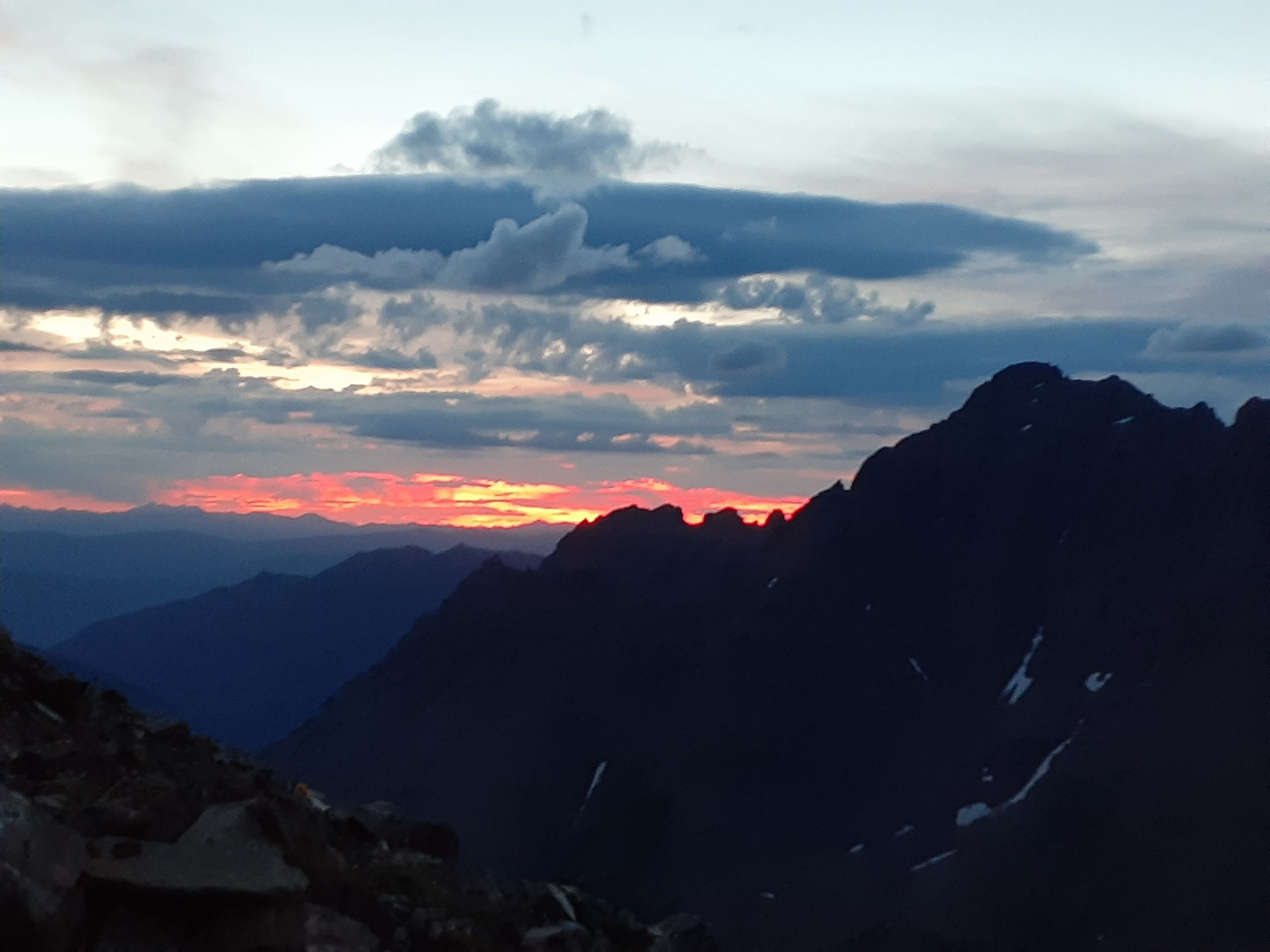
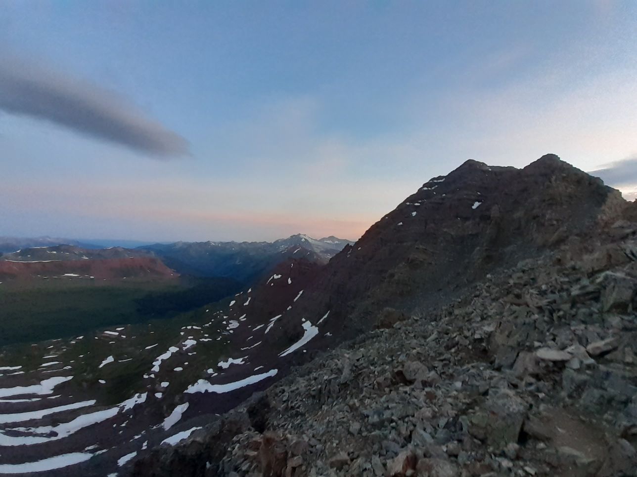
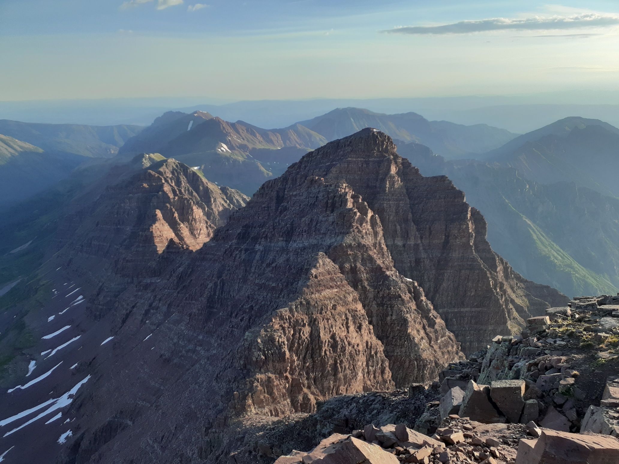
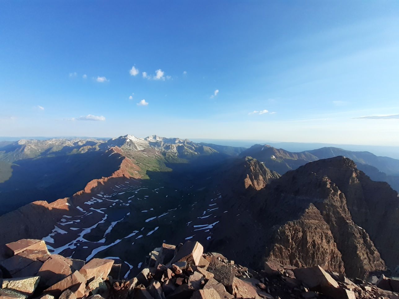
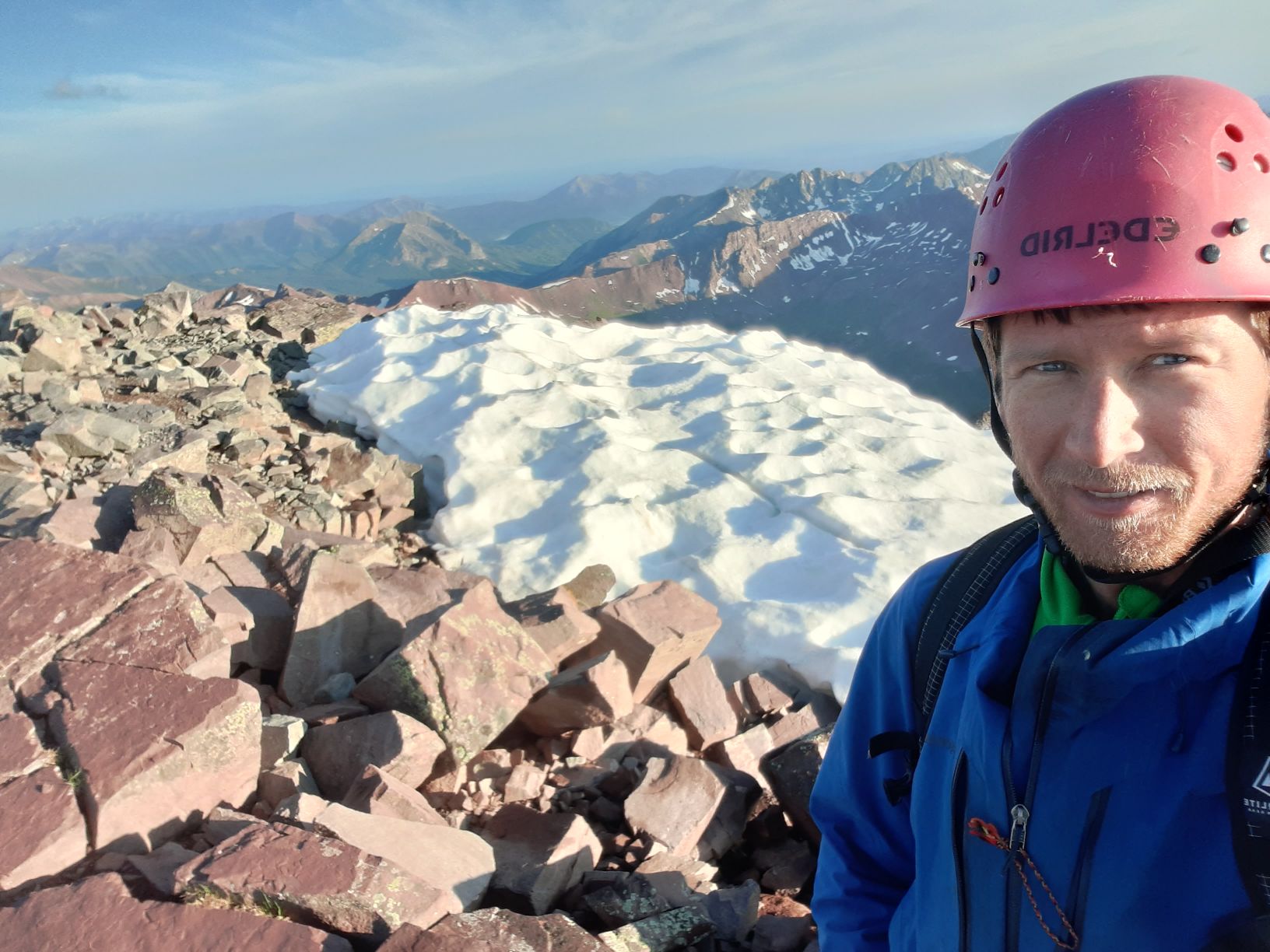
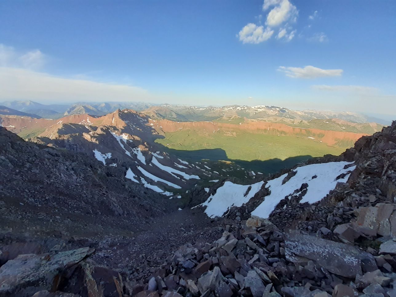
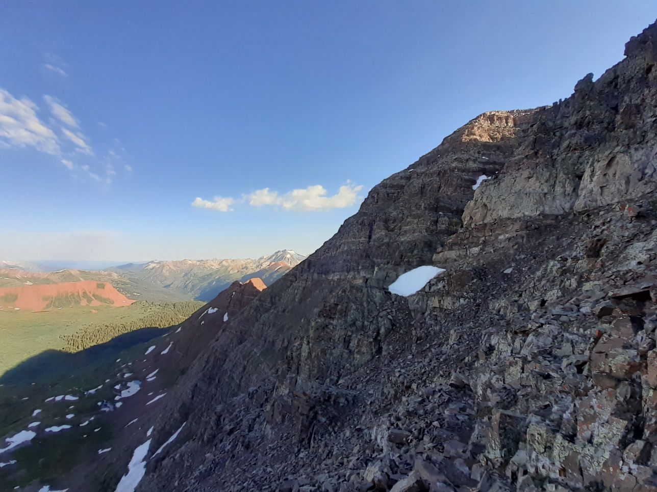
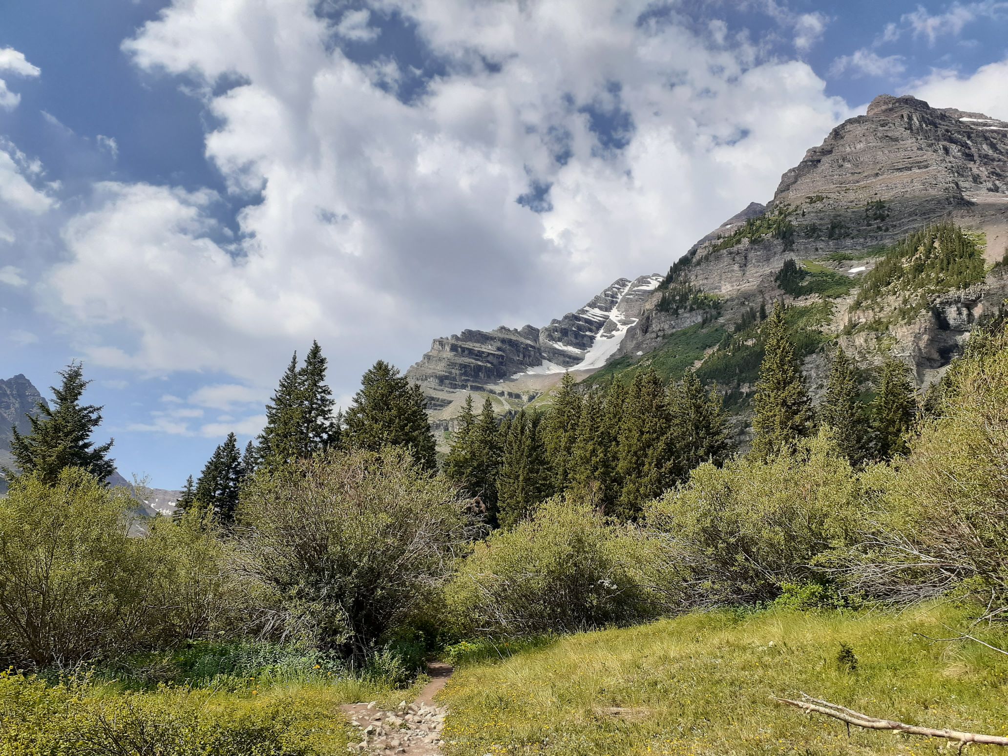
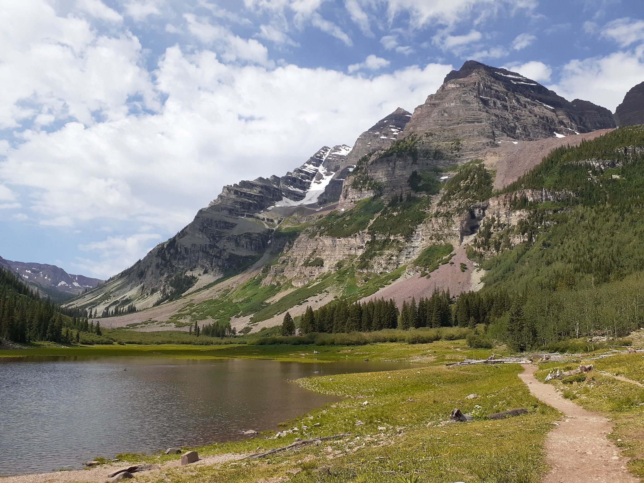
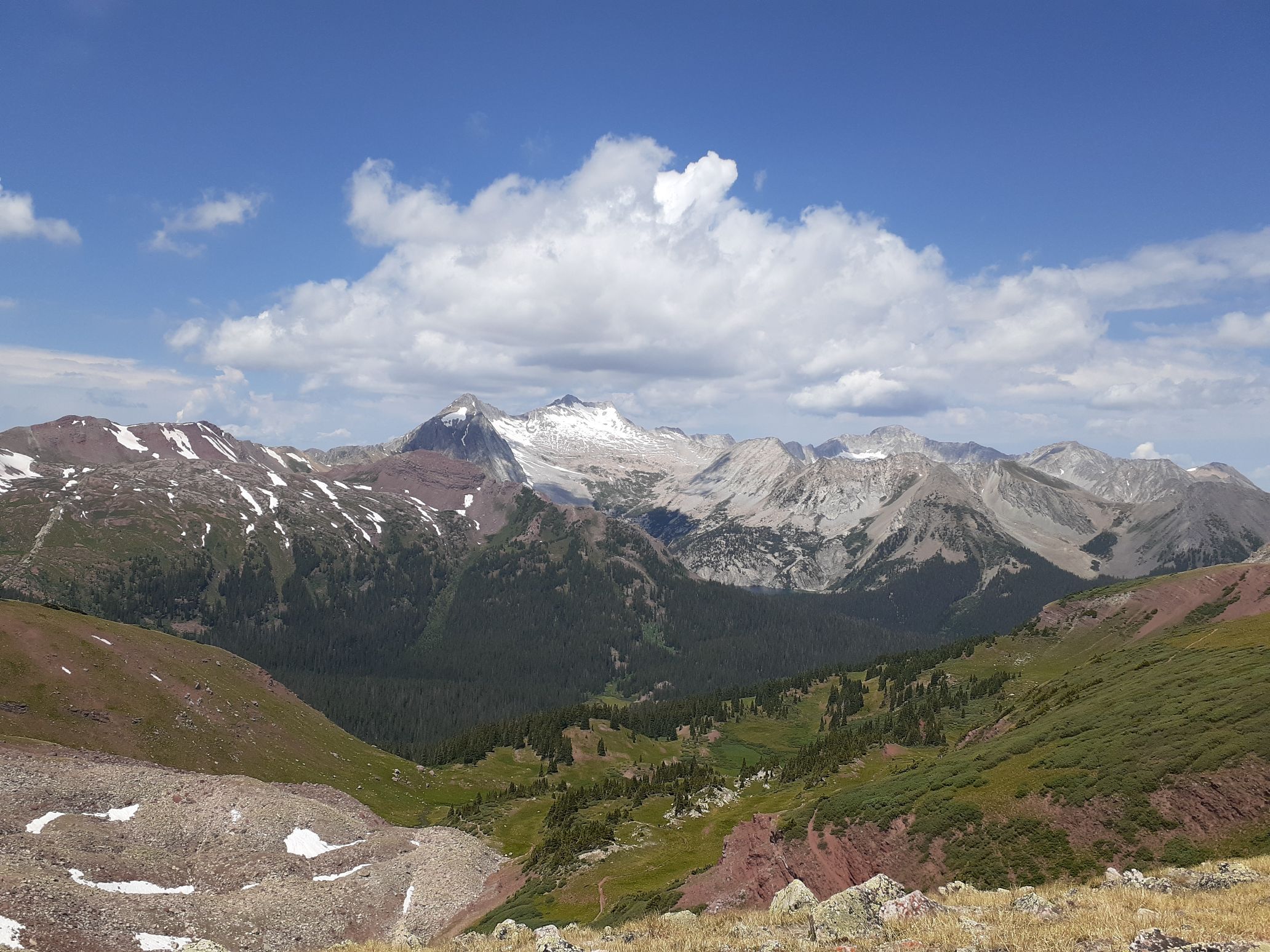
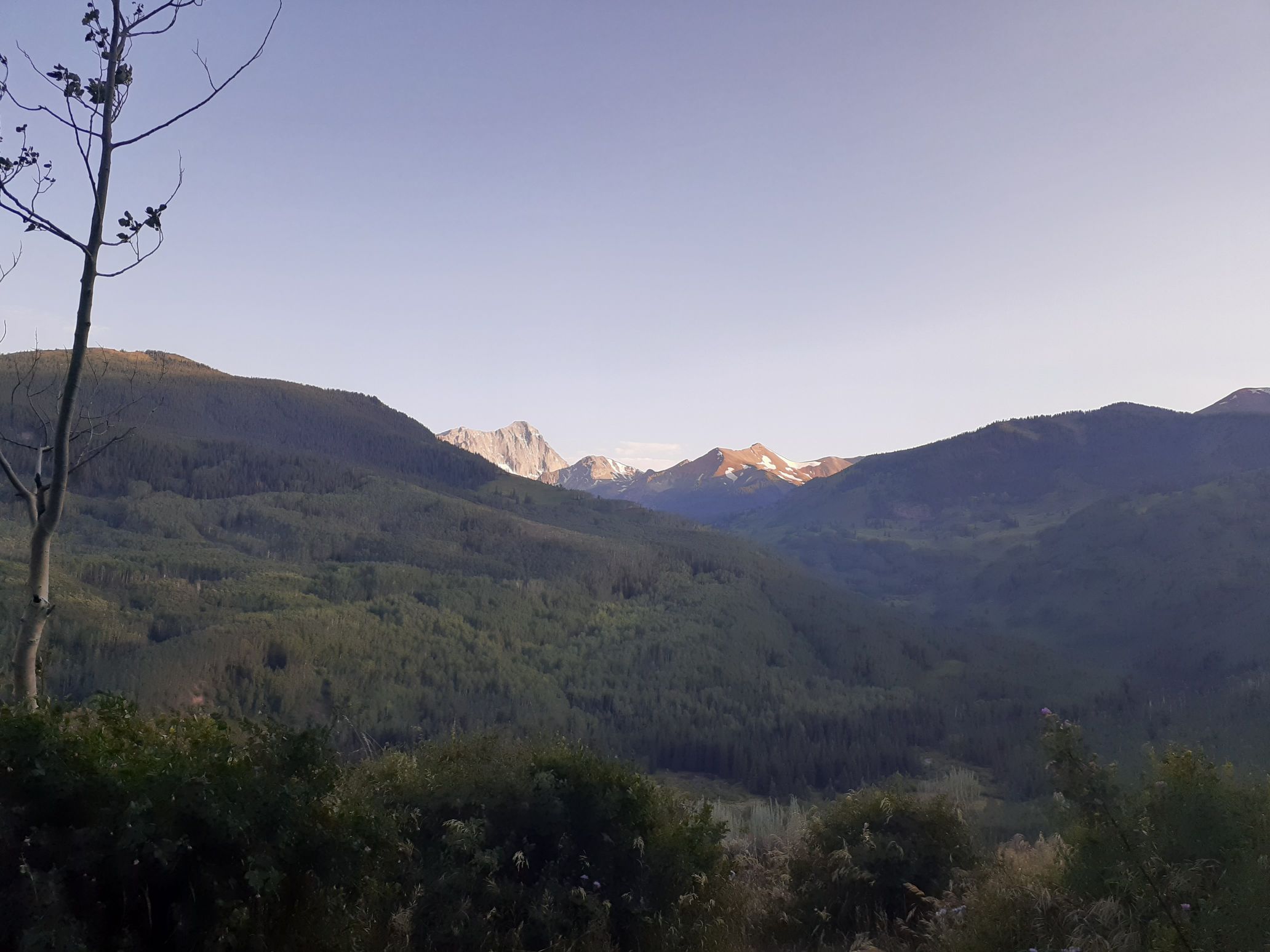
Back to top
July 15/16 – Capitol Peak, Cathedral Peak, Castle Peak, Conundrum Peak, Mt of the Holy Cross, Holy Cross Ridge (49 miles, 18kft gain)
Now it was really crunch time to finish the Centennials before my trip to the winds. I was starting to think of contingency plans. I’d scheduled a packer to pack us in on July 21, and really didn’t want to have to cancel that and hike in all the gear on my own. We’d probably have to double carry, which would add a few days. I thought I could maybe drive up to Wyoming, give the packer my gear to pack in, then drive back to Colorado to finish the centennials and just let Matt start early in Wyoming. But that would slow down my finishing time for CO and for WY. I could ask Matt to just buy 3 weeks of food for me and have that packed in and I joined later, but that wouldn’t be very nice. Or I could just kick things in to higher gear and sleep less and be more efficient to finish all the Centennials on schedule.
The biggest factor limiting my speed was afternoon thunderstorms, which were in the forecast for the next 5 days. Those were unavoidable. Some amount of sleep was also unavoidable. But I figured – what if I shifted my sleep to be when the thunderstorms were happening, and cut down to the bare minimum sleep necessary to function? I likened this to a marathon. I’d gone at an unsustainably fast pace at the beginning of the Centennials (like I usually do to start a marathon), then gone at a sustainable pace sleeping at least 7 hours per night most nights for most of the mountains (like I run at a sustainable pace for most of a marathon) and now I was at the phase where I sprint to the finish. I figured I could go for 4 or 5 days with minimal sleep synchronized with afternoon storms and just catch up after I finished. It would be my sprint to the finish of the Centennials marathon.
I thought how much easier this would be if I were doing the mountains supported like people that go for the 14ers speed record. If someone else were driving me around between peaks I could just sleep in the car, but being unsupported I didn’t have that luxury.
I started my sprint at 1am from the Capitol trailhead. I wanted to do the 4th class section of Capitol in the daylight, but after that all remaining peaks would be 3rd class or less and I’d be ok doing any of those in the dark. I started hiking around 1am up a nice trail, and a few hours later reached Capitol Lake. There were a few headlamps above me and I continued up a climbers trail to the saddle above the lake, then turned right.
It was still dark and all the other climbers had stopped there where the trail ended. I talked to one of them and then I heard someone say “Is that Eric?” I was confused how somebody knew me there, especially in the dark, but it turned out it was Jesse from Dallas Peak! We talked for a while, and then I started moving. I downclimbed a 4th class bit into a gully then crossed to the other side and found some cairns to follow. I yelled over that my route worked and told the other climbers to follow.
By then the sun was just rising. I crossed a bunch of snow slopes and another climber caught up to me. We were about the same pace so hiked up together. We scrambled up K2, a jokingly named bump on the ridge, then dropped down to a saddle and scrambled along the northeast ridge. Eventually we reached the infamous knife edge. The other climber carefully tip toed on top, while I held on to the top and traversed along the side. It was sort of exposed, but not too bad. And the rock was nice and solid.
From there we basically followed cairns up the ridge on class 3 or class 4 terrain to the summit. I didn’t stay long, though, since I was worried about a traffic jam of climbers at the knife edge. I quickly downclimbed the route, then came to the knife edge. There were four climbers on the other side waiting to start over, but Jesse graciously yelled over that I could start over first.
I quickly crossed, then retraced my route back over K2 and down to Capitol Lake. The trail was a bit more crowded now with horse riders and trail runners coming up. It was a weekday, but I was no longer surprised. I’d learned that Colorado trails are always crowded. I got back to the car at 10am and made a beeline for a gas station outside Aspen that had an amazing bakery and ice cream bar. I filled up on food and gas there, then continued to my next objectives – Cathedral, Castle, and Conundrum.
In my early rough planning the day before driving down I naively thought I could just do a loop hike and string all three peaks together, since they looked close on the map. But after reading the guidebooks carefully in the car at the gas station I realized that wouldn’t really be possible. The terrain in between was just too difficult and complex. So I decided to do them in separate trips up the standard routes. At this point I couldn’t afford to try non-standard linkups that might fail and cost me a day. I had to do standard routes with predictable times.
I braved the traffic into aspen then drove up to the Cathedral Lake trailhead. There were tons of bikers going up and down the road. I reached the trailhead around 2pm, as the afternoon storms were starting. As planned, I took a nap there. But I was only able to sleep for about 45 minutes before I got anxious to start moving. The route up Cathedral involved a steep snow climb so I packed crampons, whippet, and hiked up in my hiking boots.
I started up around 3pm and tons of people were coming down. Interestingly I’ve noticed I can tell proximity to a trailhead by how friendly people are. Close to the trailhead I’ll say hello to people and many will ignore me. But the farther in I get the friendlier other hikers tend to be. This phenomenon was on full display on the trail to Cathedral Lake. It briefly started raining on the way up, and I rode out the squall under a dry tree.
I made it up to the lake around 4:30pm and waited under another tree. The storms were forecast to clear out by 5pm, so I waited around til then. As expected, the skies cleared, so I headed up. I hiked to the north side of the lake, then picked up an old miners trail into the basin on the south side of Cathedral. I then reached a steep snow gully coming down from the south ridge. I switched to crampons, unsheathed my whippet, and front pointed up to the ridge. There I ditched my snow gear and made the fun scramble up the ridge to the summit.
By then Matt texted me that he’d started climbing some non-wind-river WY 13ers so that when we finished the 13ers in the winds he’d be finished with them all. I texted him that I had a plan for finishing the centennials and looked to still be on schedule for our trip. I secretly hoped I could follow through.
I retraced my route frontpointing back down the snow gully and hiking back to the car. I then drove up the Cooper Creek road a bit farther until it got too rough, then pulled over and cooked some pasta. Luckily for me the standard route up my next peaks – Castle and Conundrum – involved a long stretch of 4wd road. That meant I could involve the bike to increase speed and fun. However, it would all be at night for me, which would likely slow things down a bit.
I left the car at 9:30pm and biked up the road for the next few hours. Luckily the road was in good enough shape that I actually didn’t have to push the bike at all, so could make pretty good time. It was still too rough for me to be comfortable with in my forester, though. I biked all the way to the end of the road at 12,800ft, then ditched the bike and continued on foot. This time I didn’t bother locking the bike since it seemed very unlikely anyone would bother it over a few brief hours in the middle of the night at that location.
Unfortunately navigating above treeline in the dark is not very efficient. I didn’t have a GPS route for the peaks, and stupidly had left my microspikes and crampons in the car. I had a bit of trouble navigating up and around snowpatches and eventually just scrambled up a very loose scree and talus slope to gain the northeast ridge of Castle. From there I just followed the ridge to the summit. I debated a bit whether to tag Conundrum or not. It’s not a centennial but is a soft-ranked 14er (on some lists but not others). I had already done all the other four soft ranked 14ers so I knew I would regret it if I skipped this one, so I ended up doing it.
I scrambled down the northwest ridge of Castle and then up Conundrum. Of course there was no view since it was midnight, but it was kind of nice to have a 14er summit to myself for a change. The normal descent is to downclimb a snow slope from the Conundrum – Castle saddle back to the starting point to make a loop, but in the dark and without traction I didn’t think that was wise. So I went back up and over Castle and retraced my route back to my bike.
The bike ride down was amazing, though I went kind of slow in the dark. I really didn’t want to get injured and derail my chances of finishing. It was kind of hard to stay awake, actually, since I’d been up for 24 hours, so every once in a while I’d stop and slap my face and eat some food to stay alert. Farther down I actually passed a truck driving up, likely heading for the peaks I’d just come from.
I eventually reached the car at 4am. I loaded up the bike and immediately started driving to my next destination – Mt of the Holy Cross. I really wanted to sleep, but also really wanted to finish all the peaks. The drive was surprisingly long, but I eventually reached the trailhead at 7:30am. It was nearly full but I found a spot near the trail. I was clearly at the back of the pack of hikers and they were wise to start early given the predicted afternoon storms. But I figured I’d just have to be fast and still beat the storms.
I hiked quickly up to half moon pass, ate some food, then trail ran down to the low point on the trail. I then hiked quickly up the north slope of Mt of the Holy Cross and soon started passing hikers. I topped out around 10am, which was actually a pretty reasonable hour. There were about 20 other hikers on the summit, much different than my last 14ers earlier that morning!
I had one more centennial to tag, so dropped down the south ridge and scrambled up to the nearby Holy Cross Ridge. By then clouds were building as expected, so I traversed back to the trail, then hiked and trail ran back to the car by 1pm.
The weather had turned by then and I needed some sleep. But trailheads are not quiet places to sleep, so I drove a bit down the road and found a nice quiet pullout. I cooked some pasta, called home to wish my Mom happy birthday, then went to sleep.
After a 3 hour nap I started driving to my next destination, which was kind of far away. I resupplied at a gas station, drove through Breckenridge, and reached the Kite Lake trailhead at the base of Democrat and Lincoln by 11:30pm.
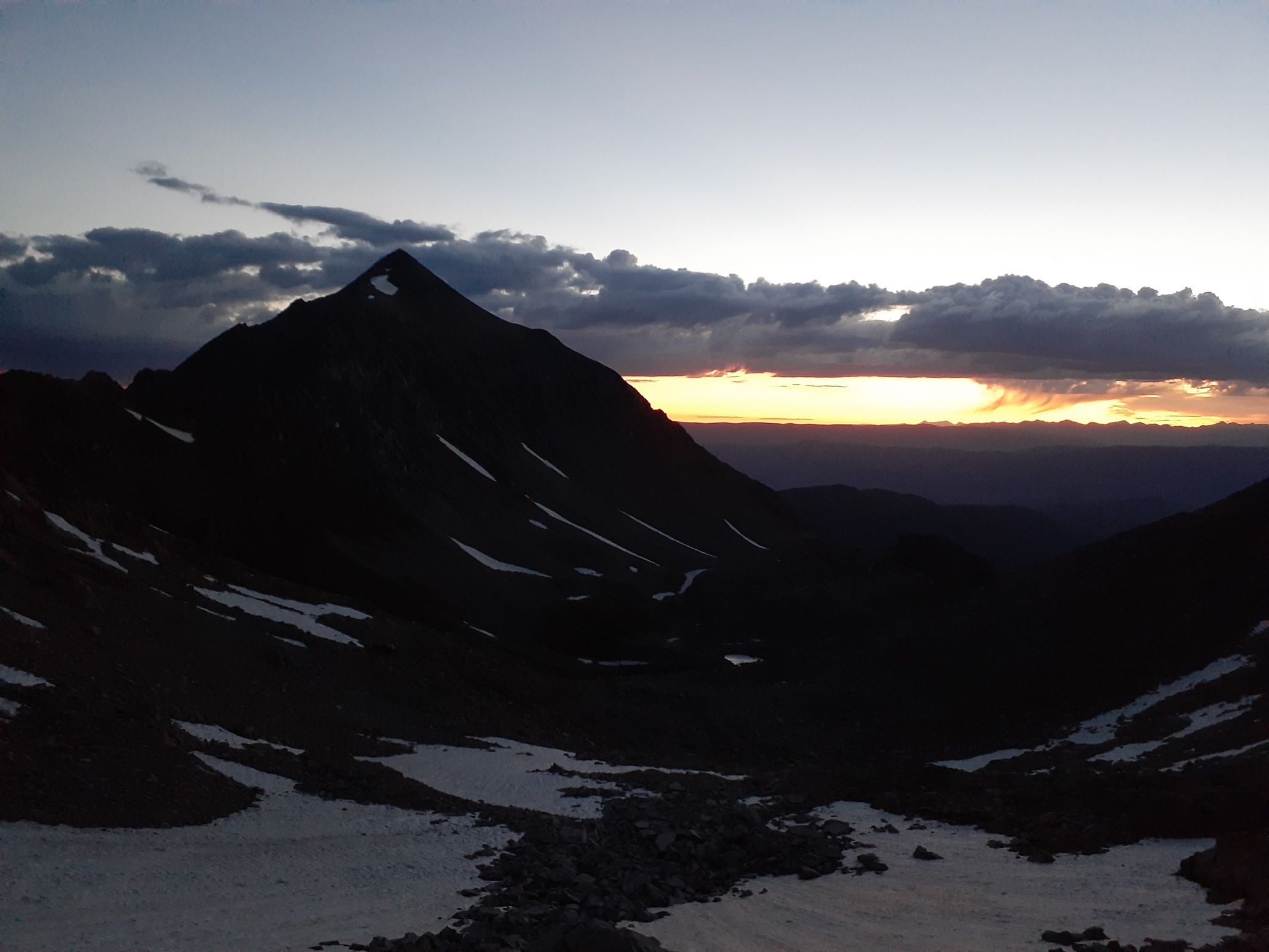
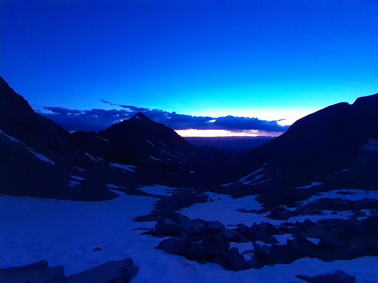
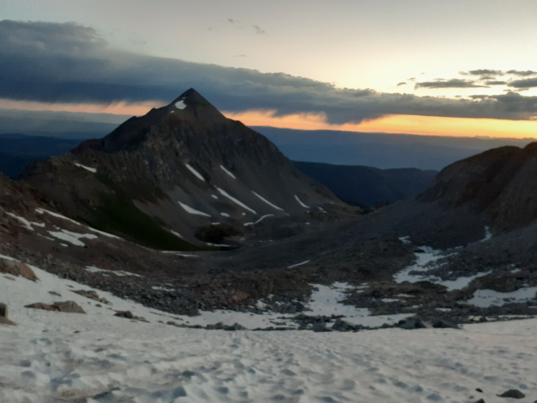
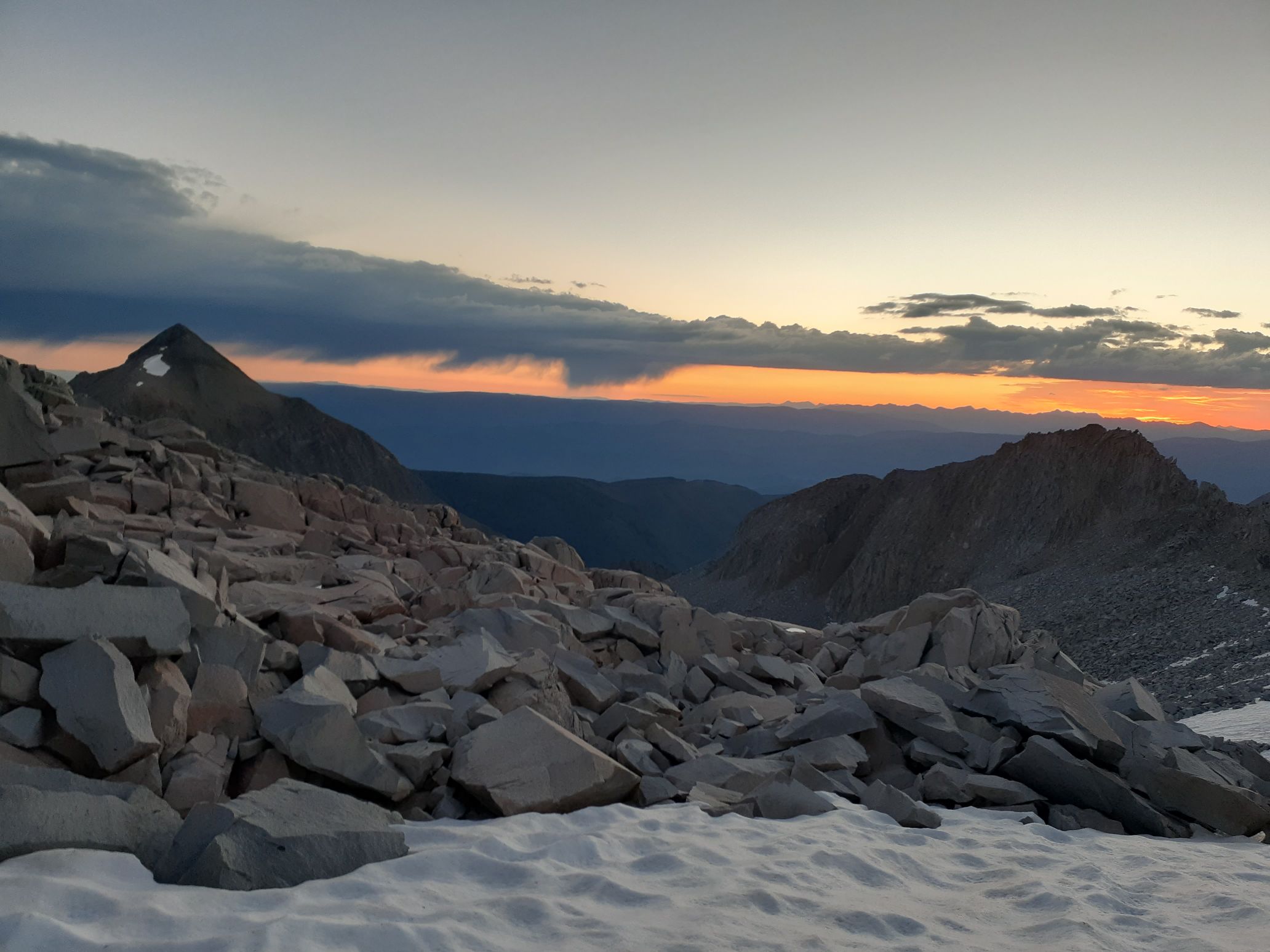
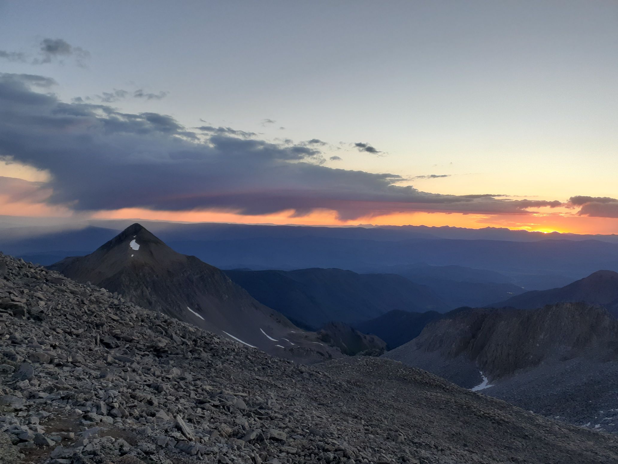
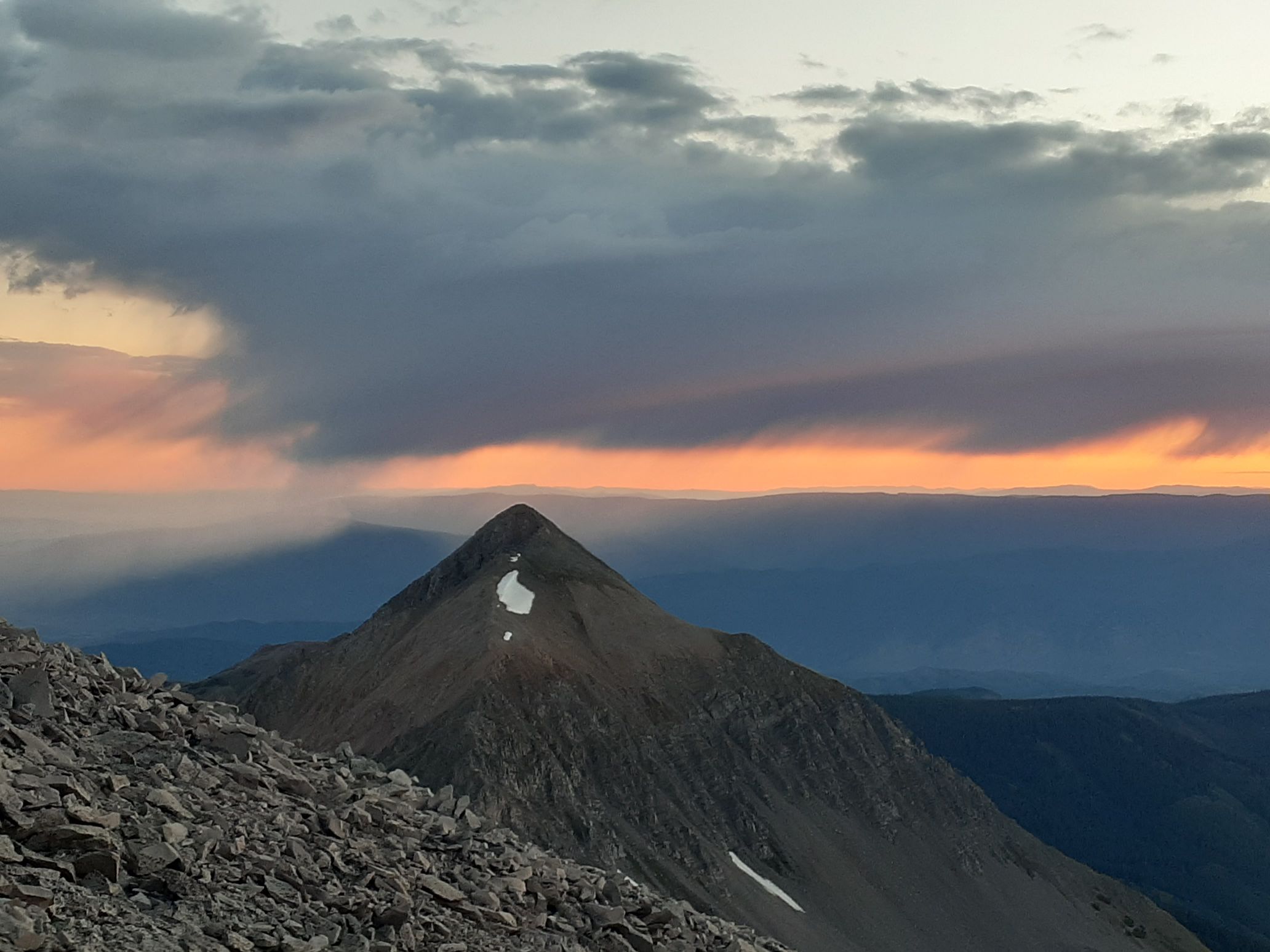
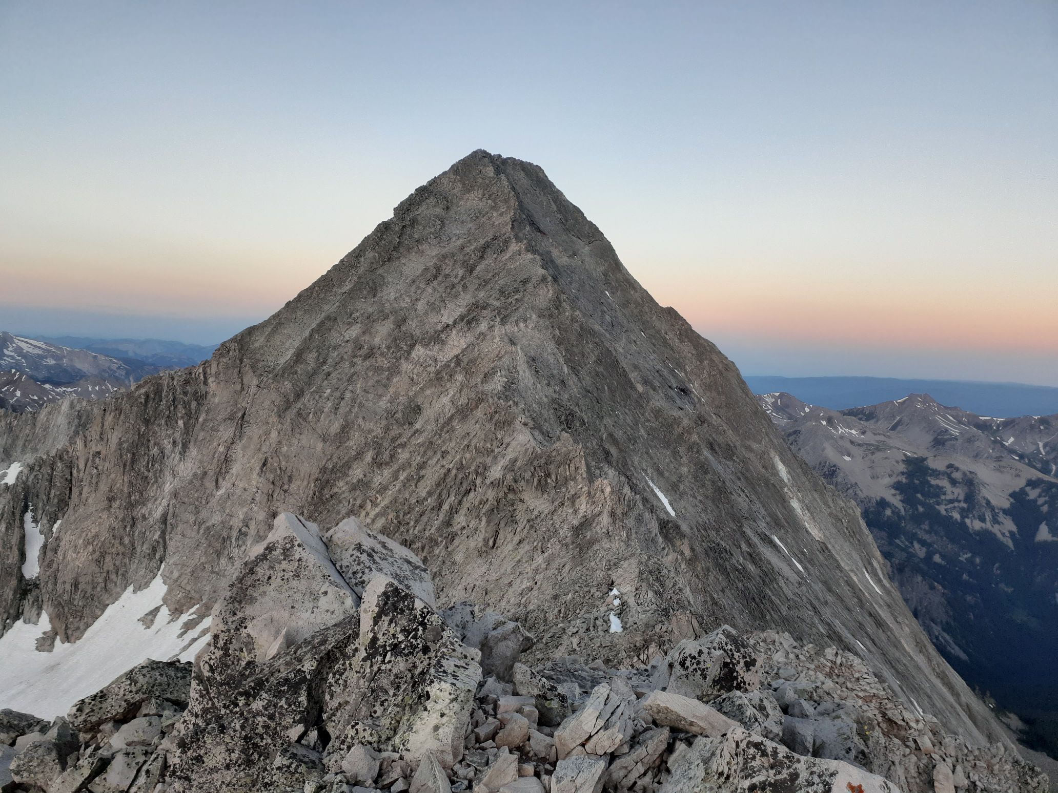
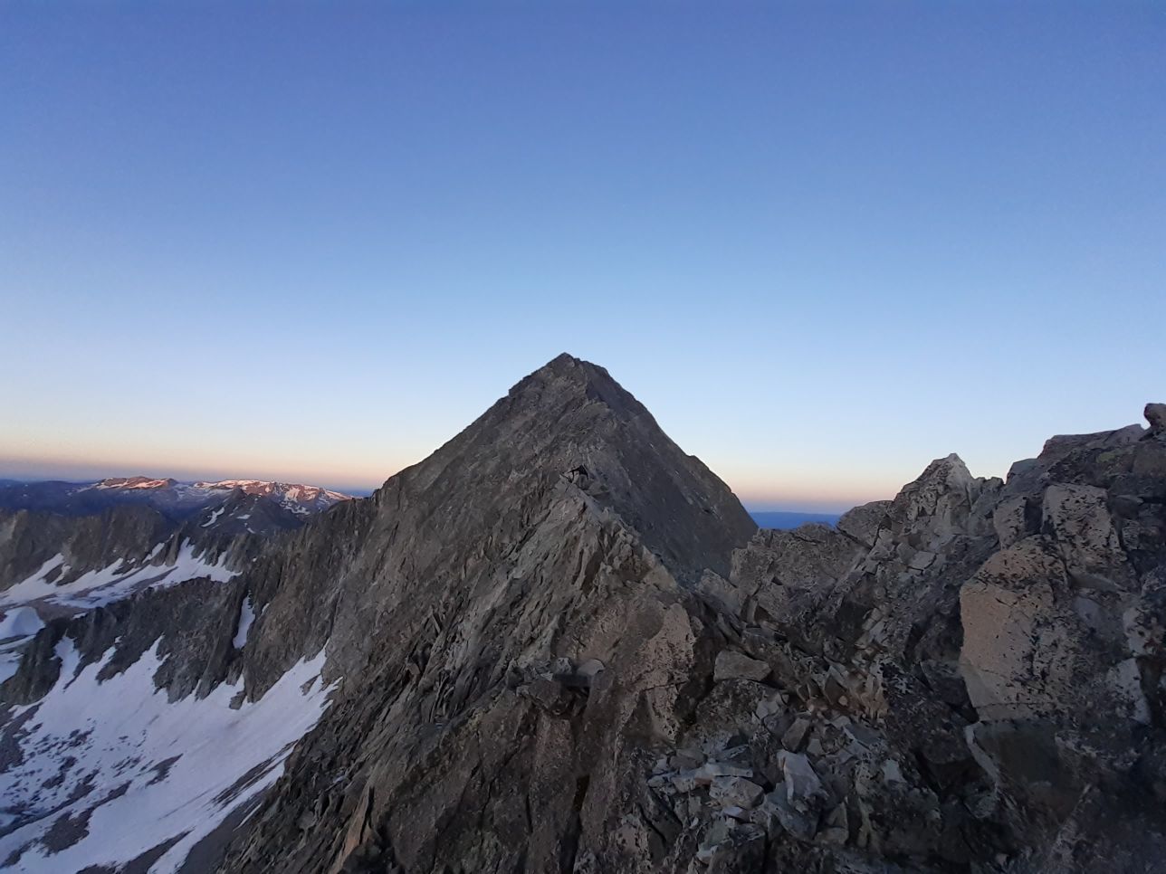
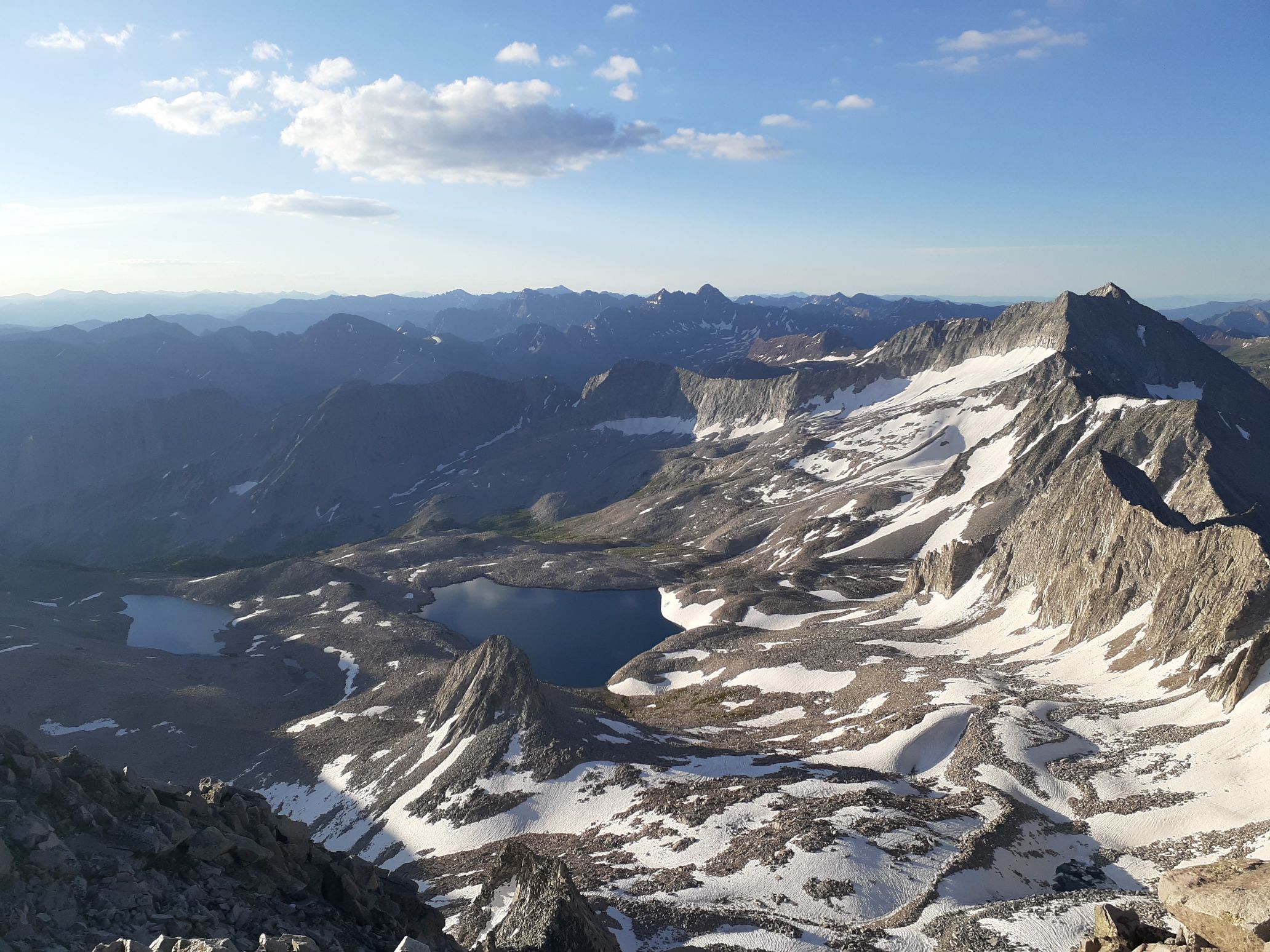
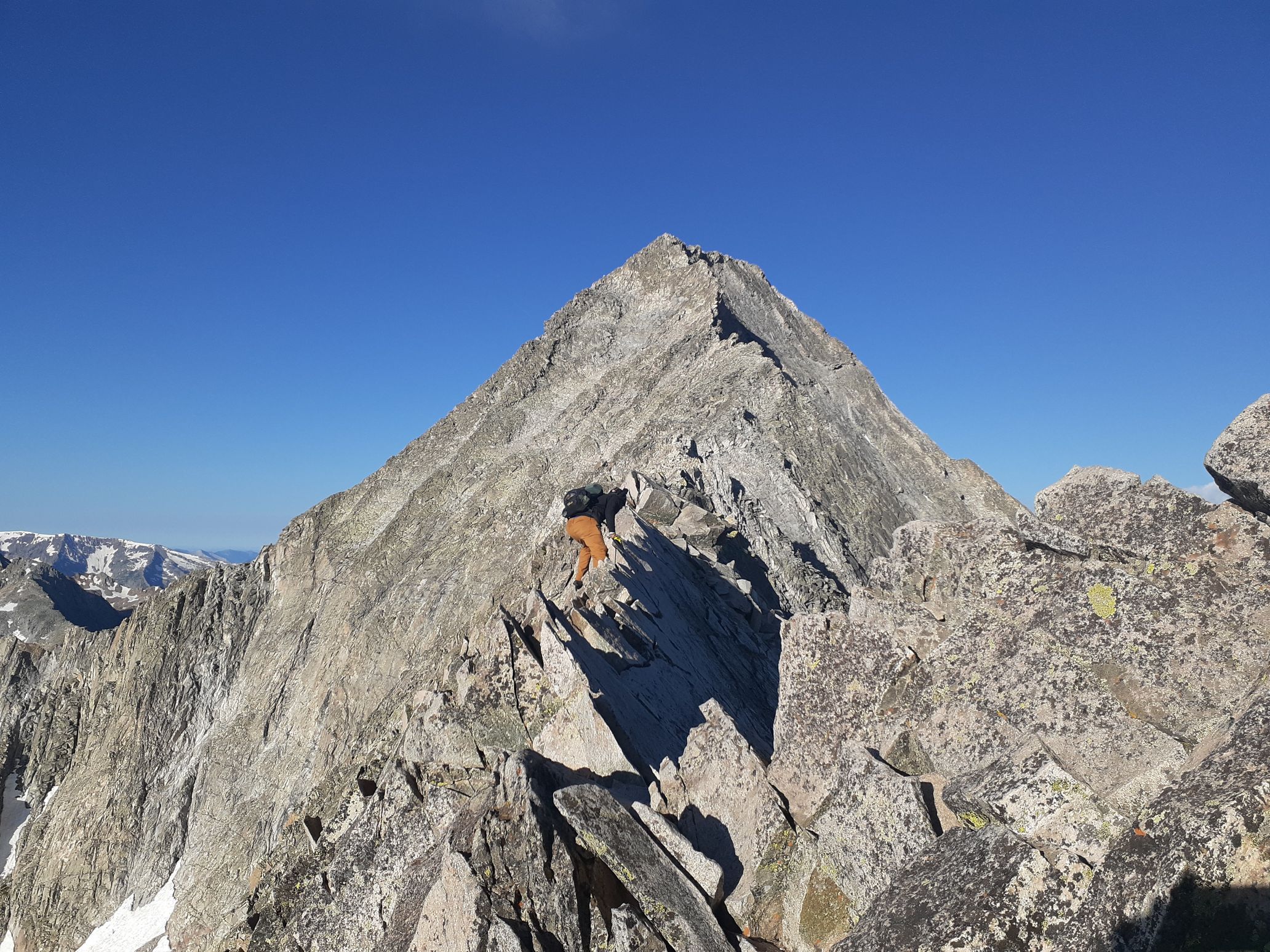
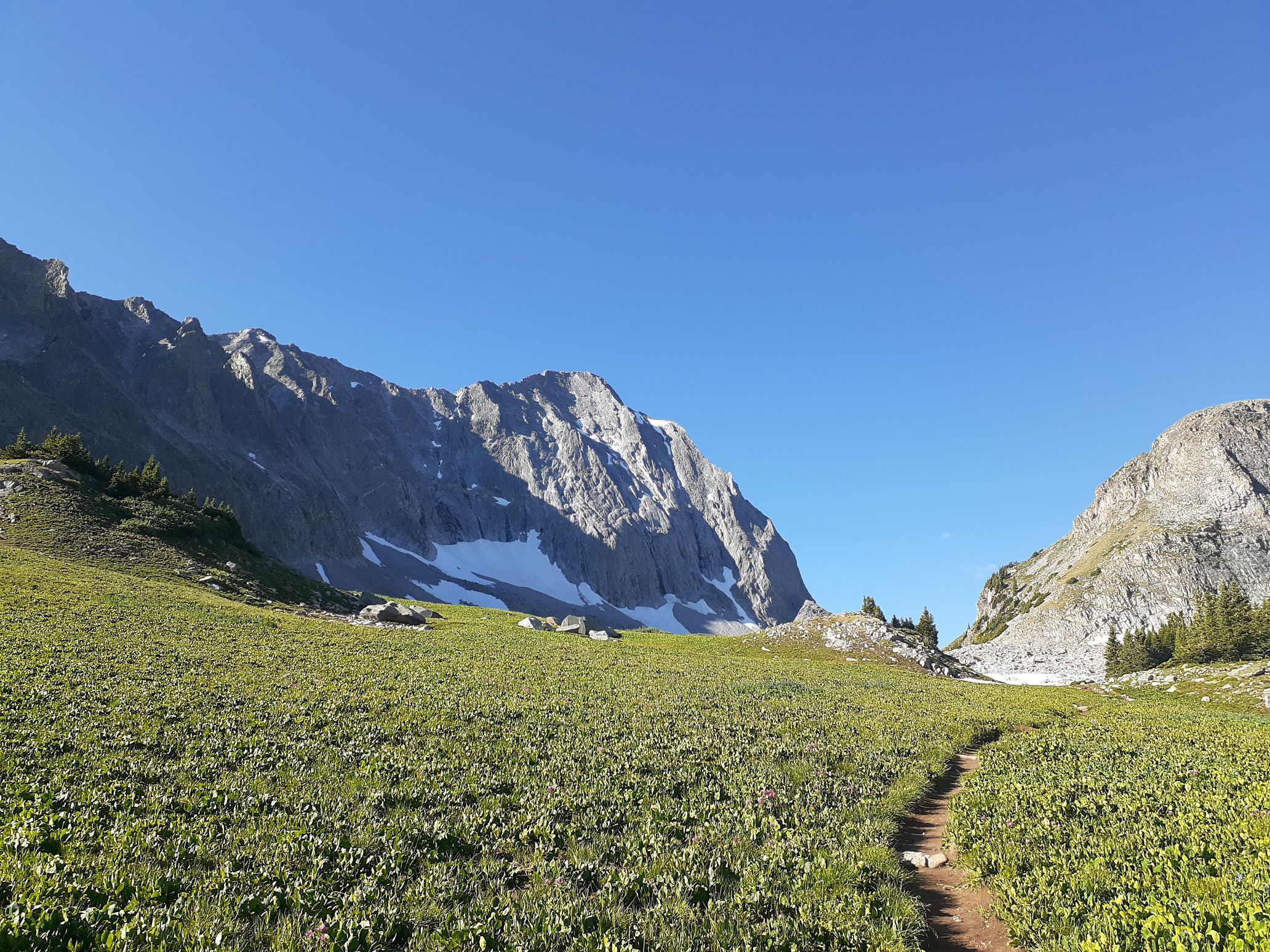
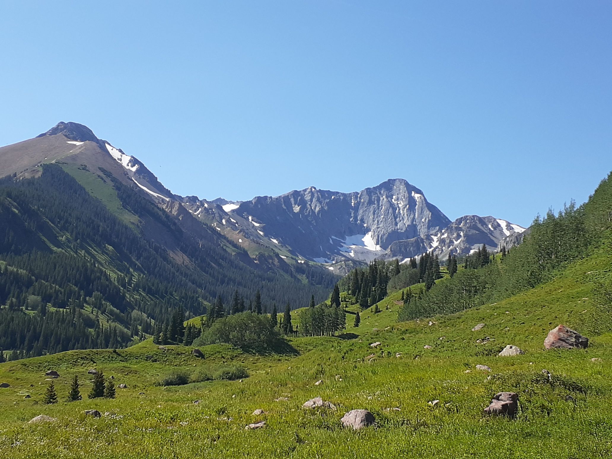
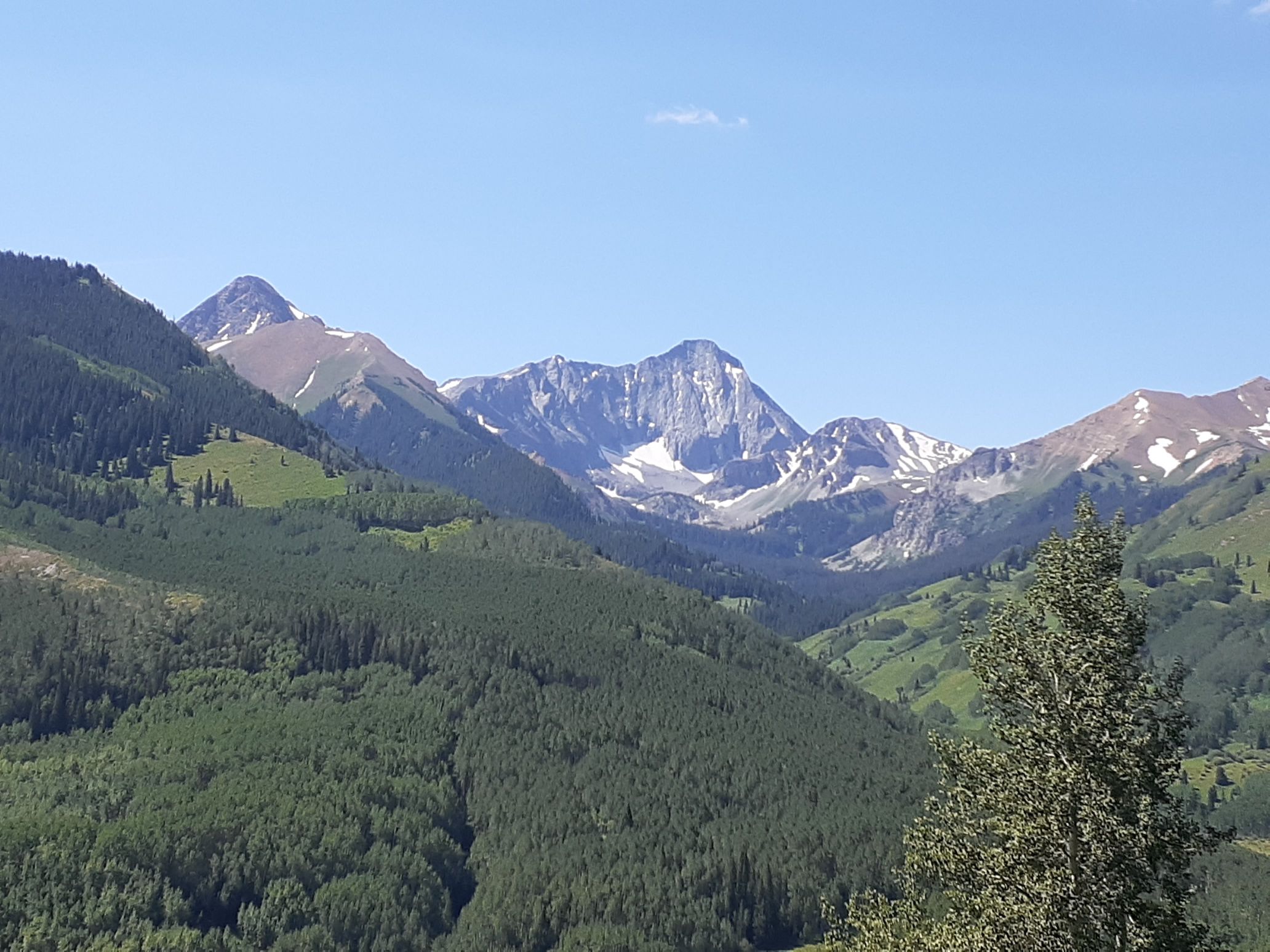
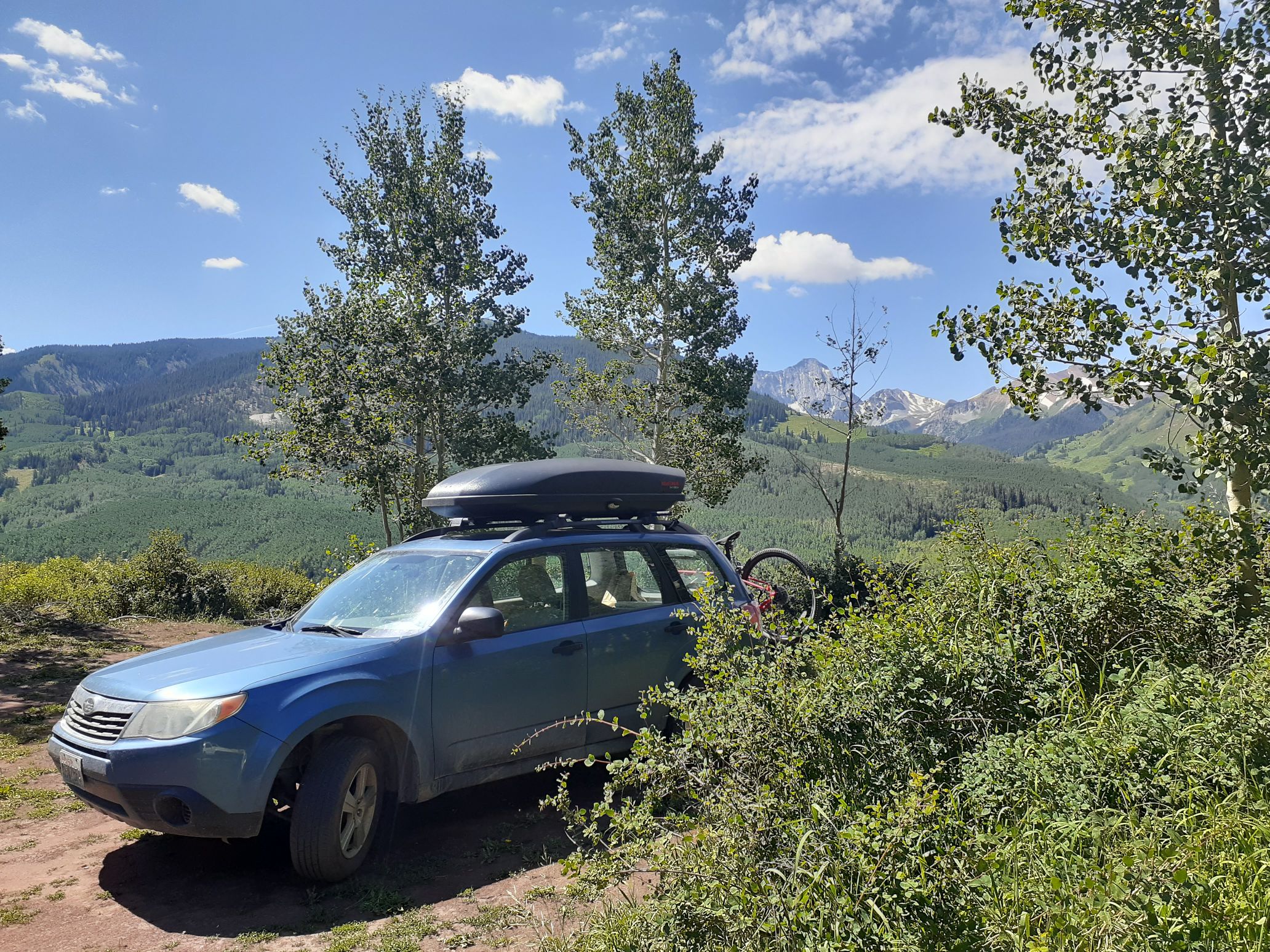
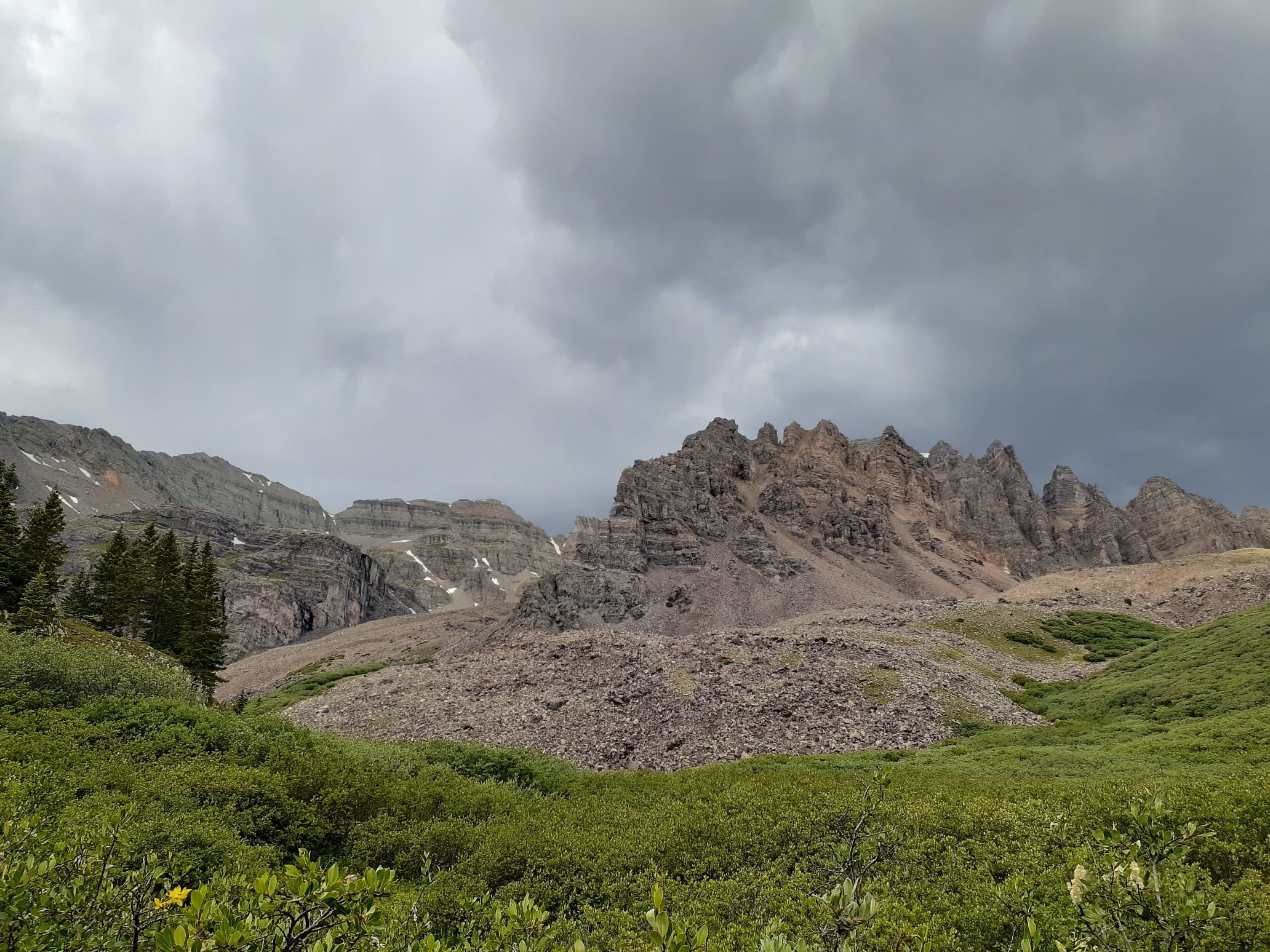
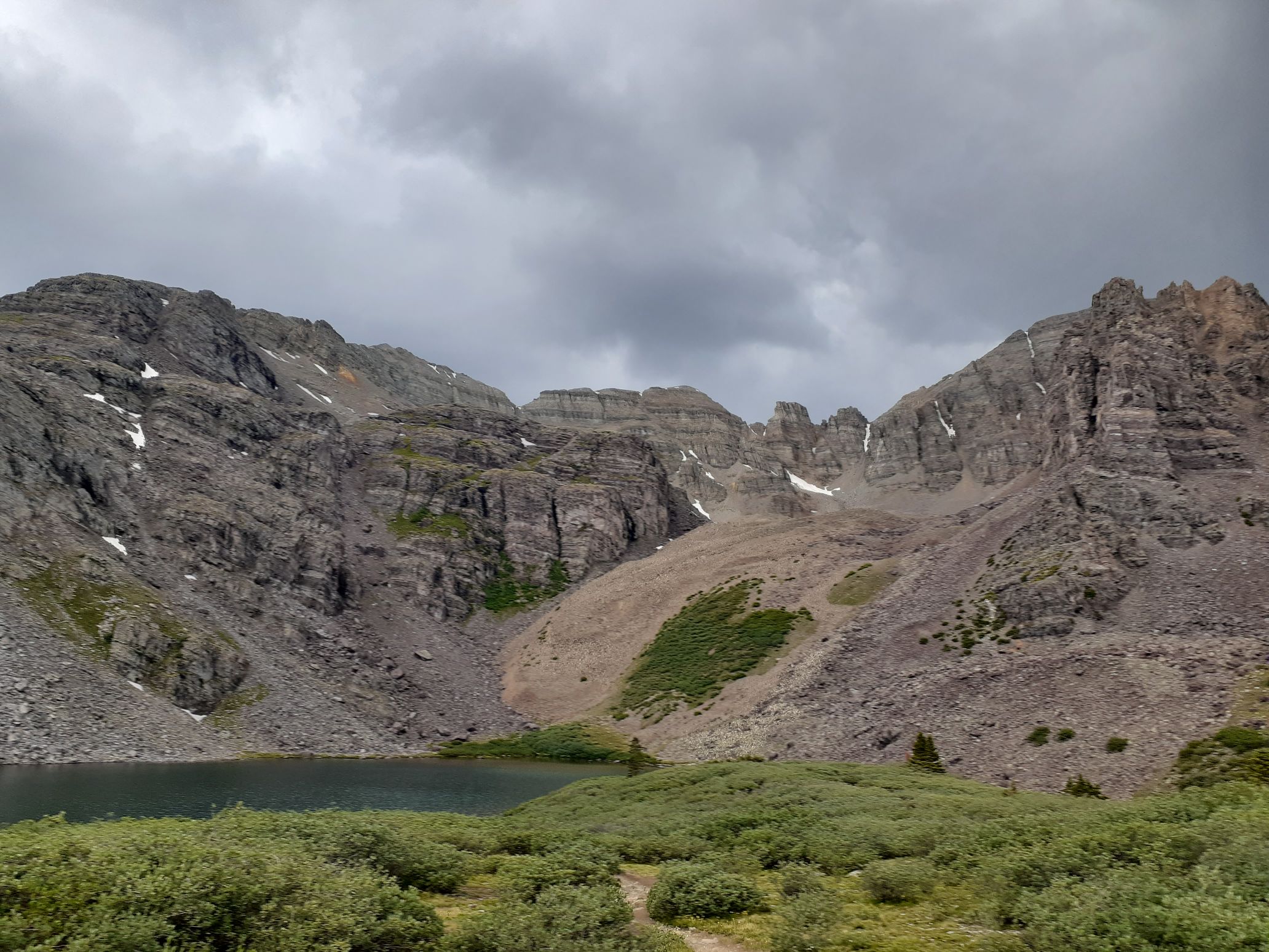
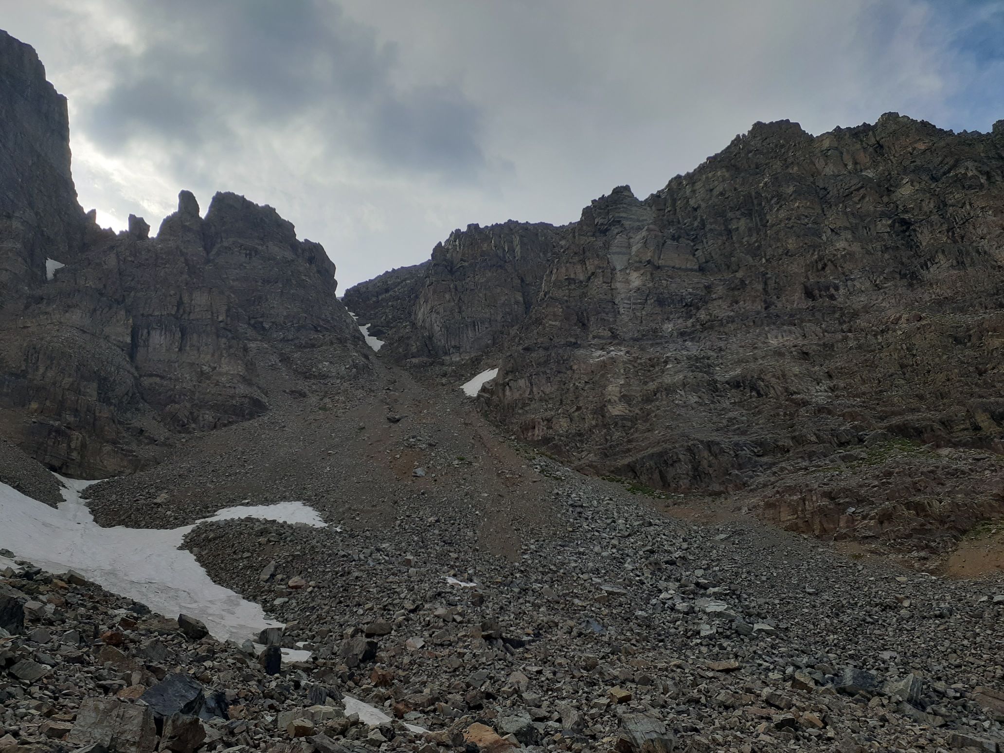
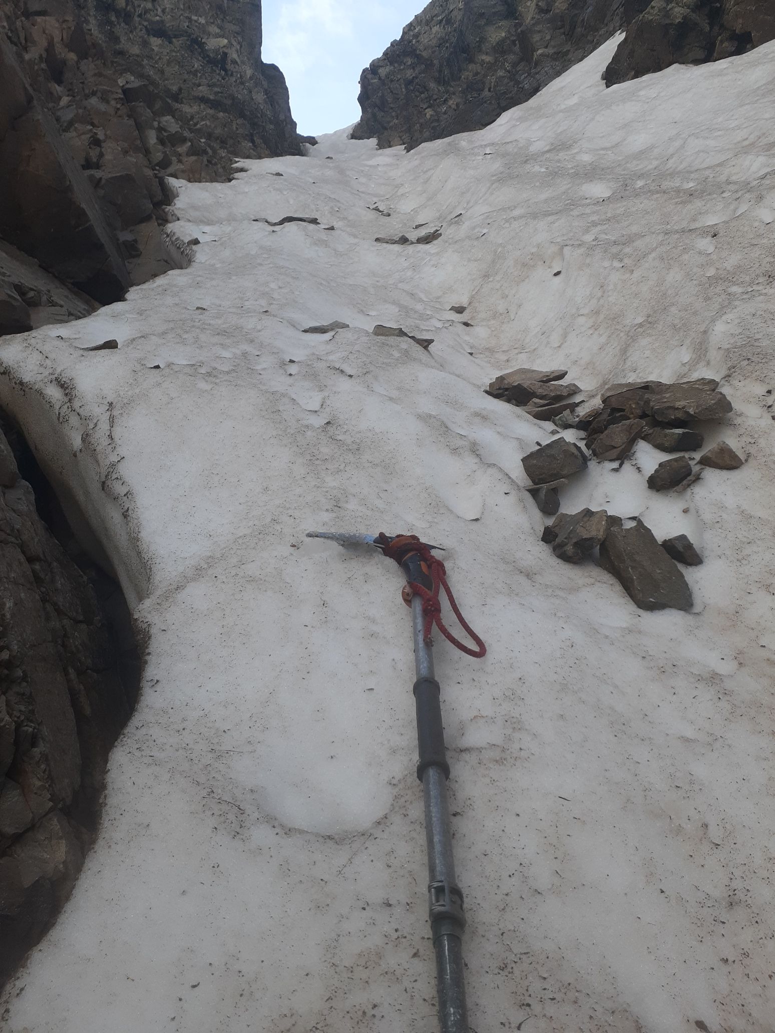
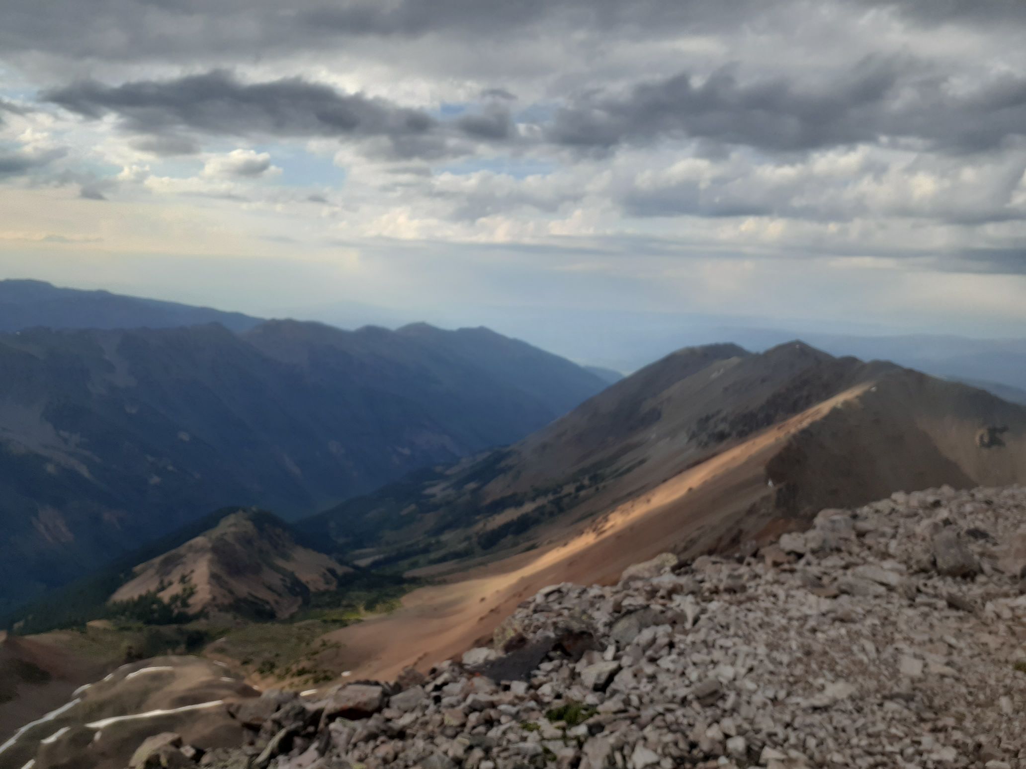
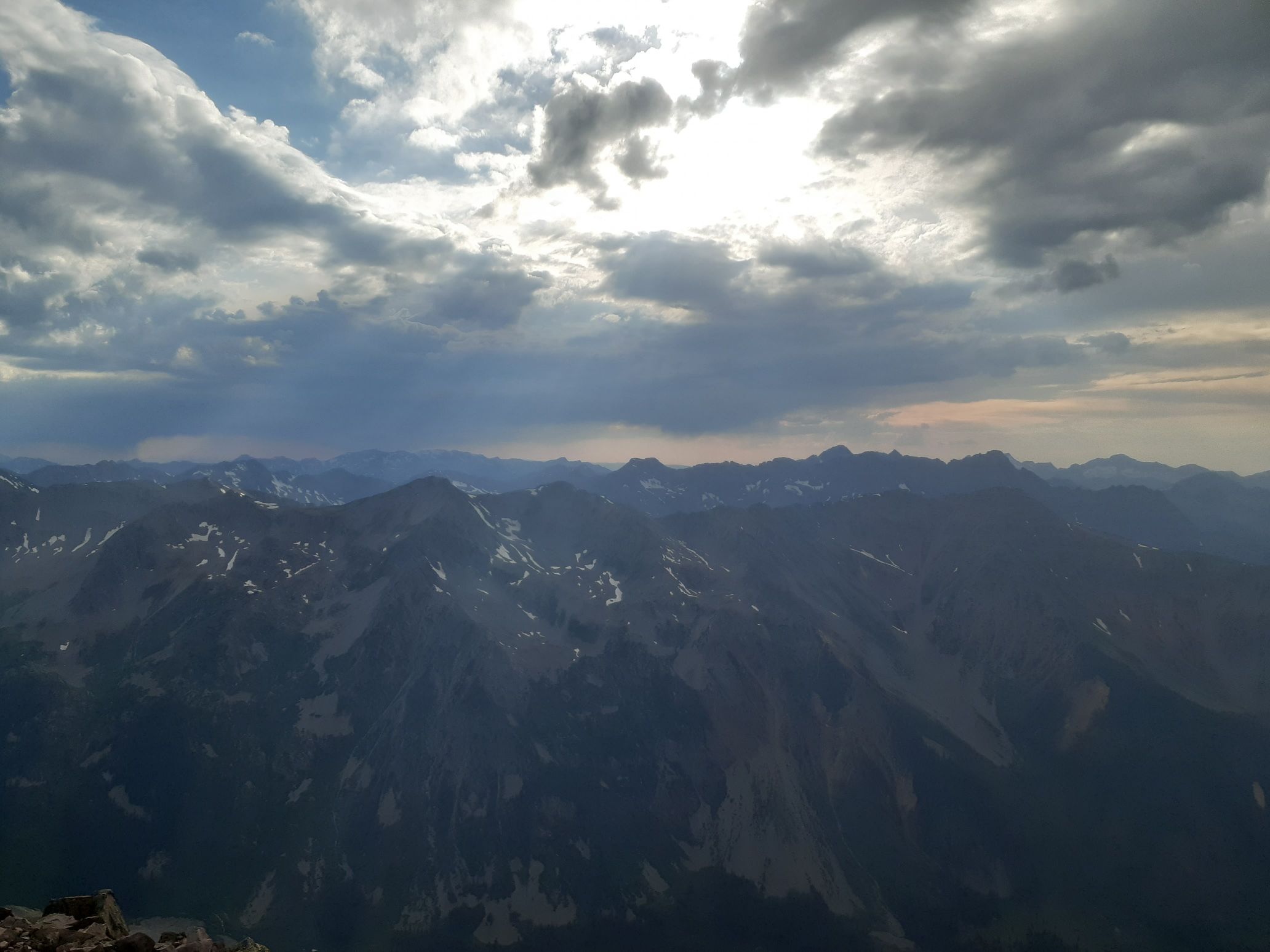
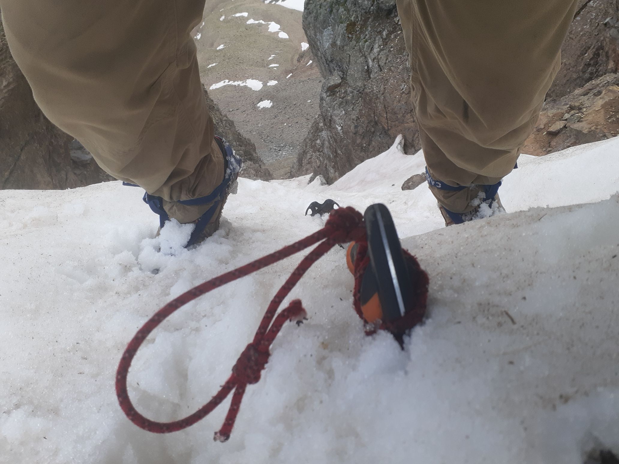
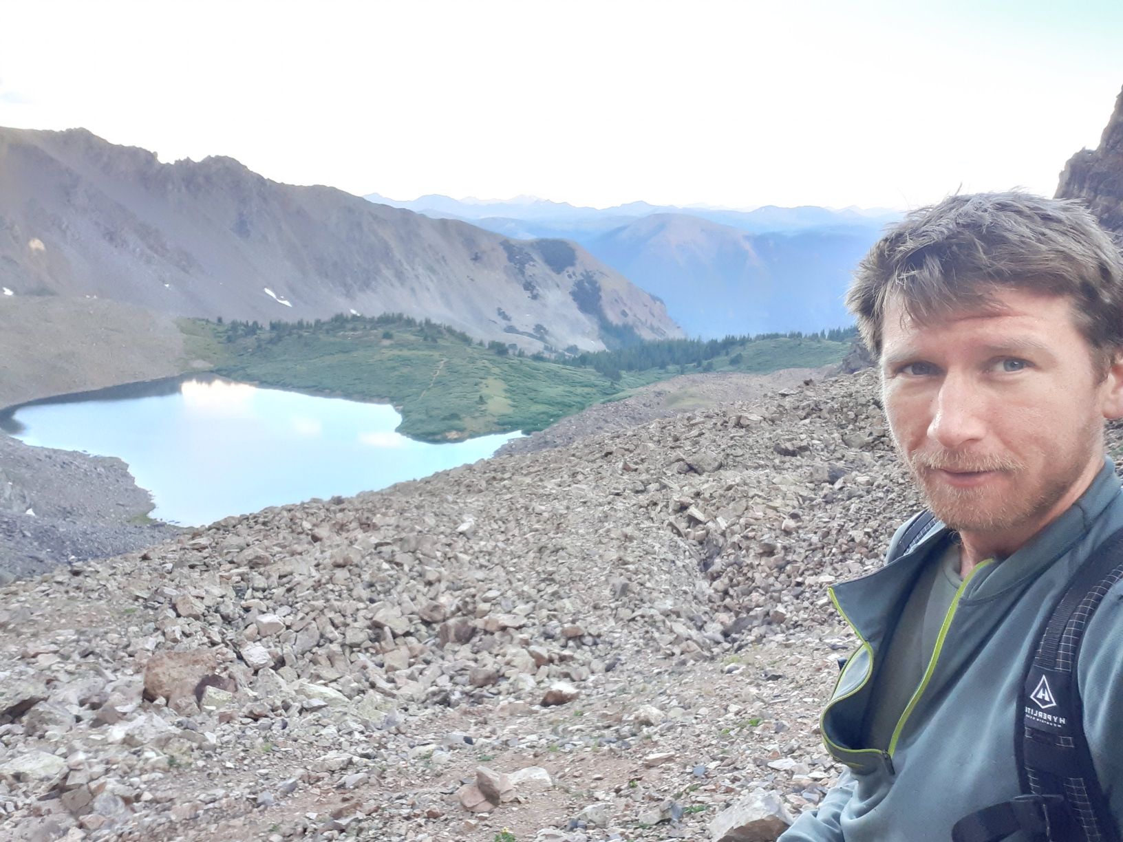
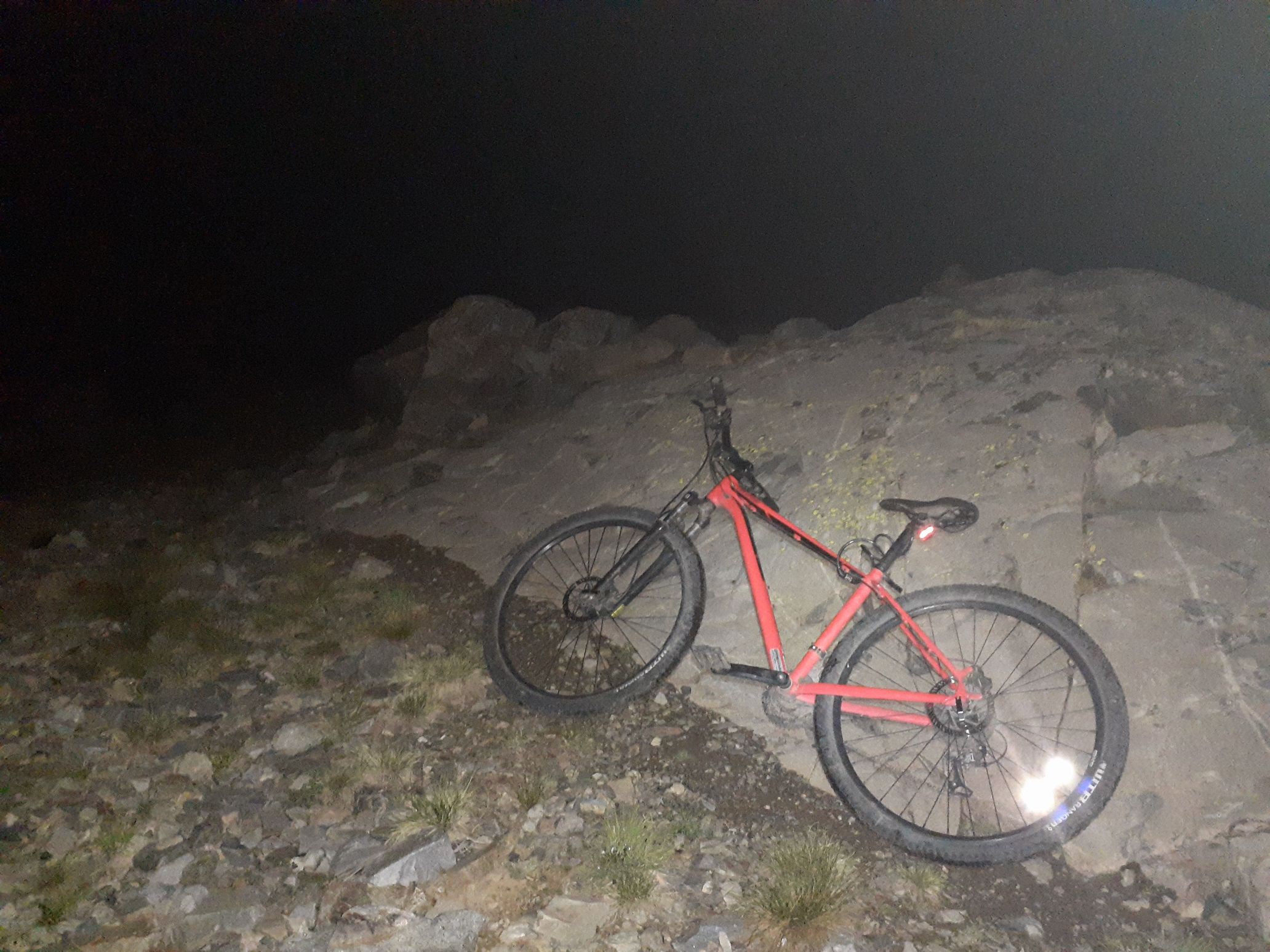
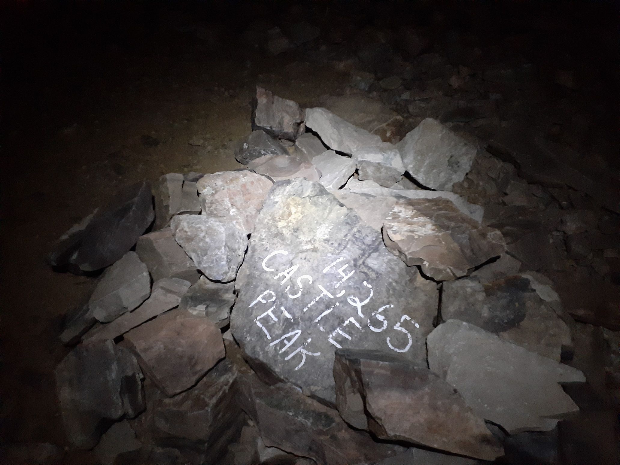
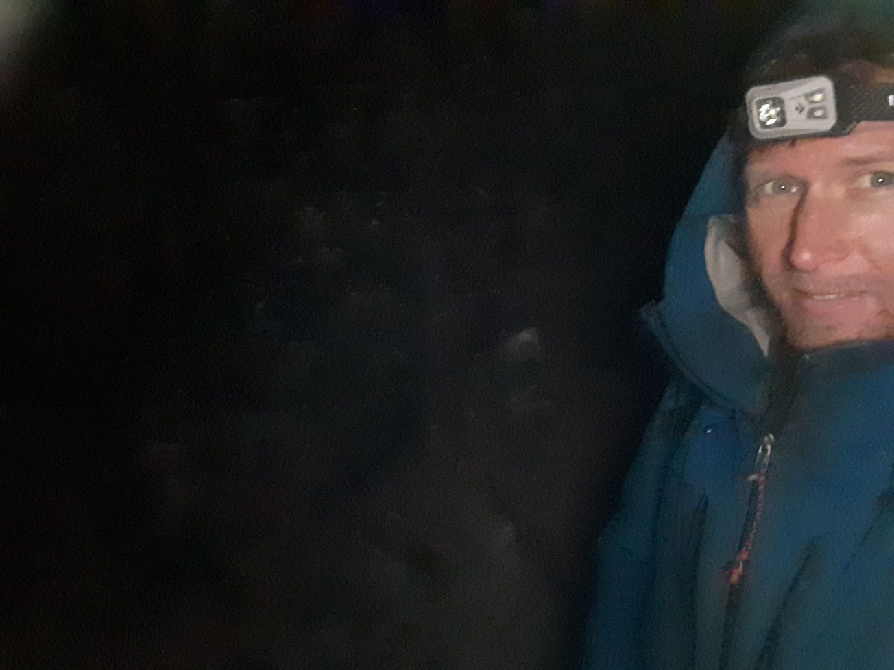
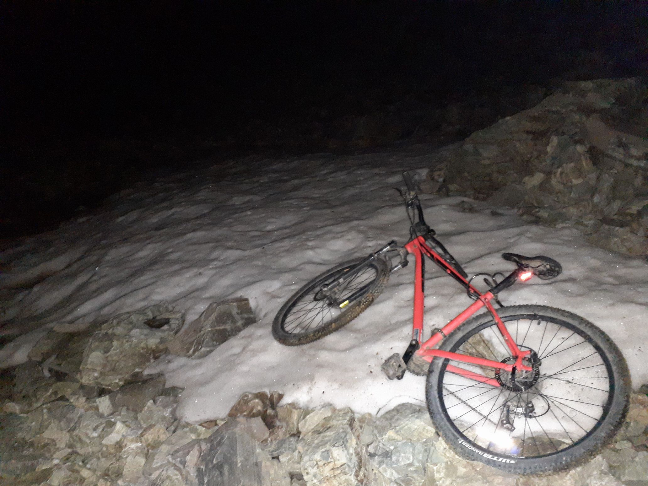
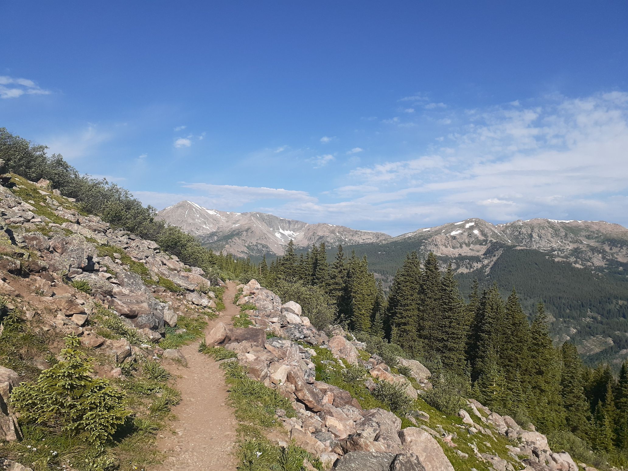
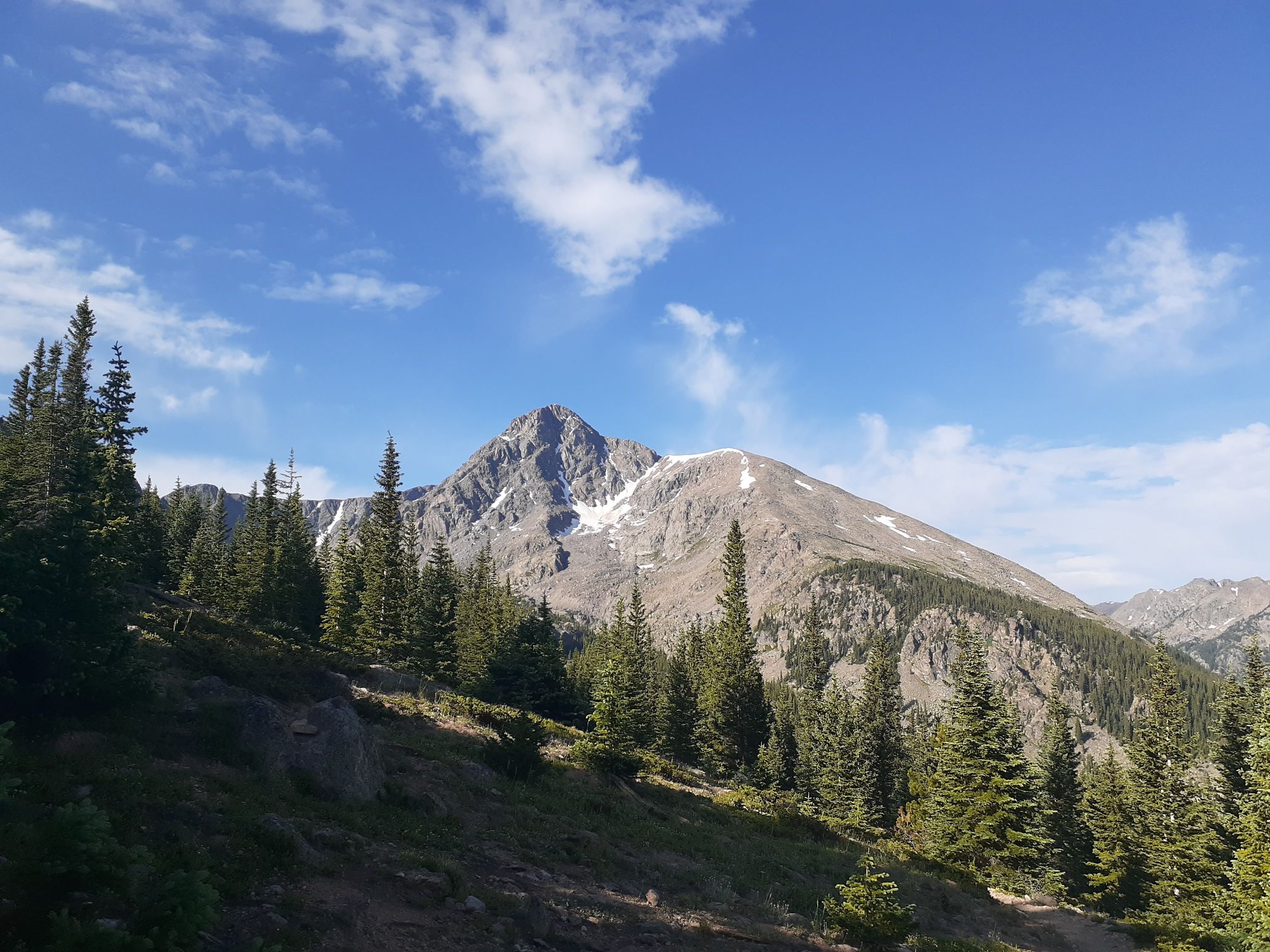
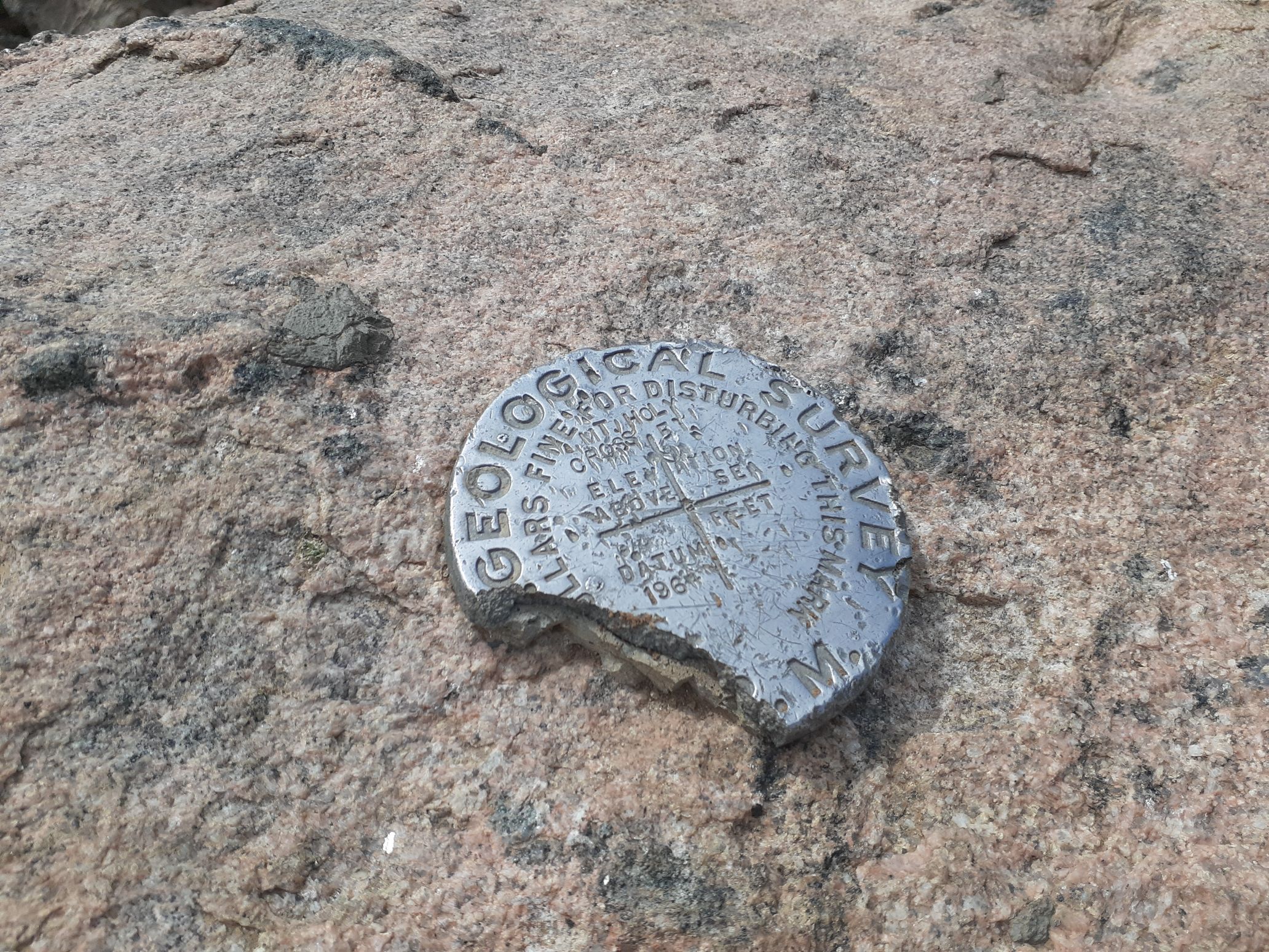
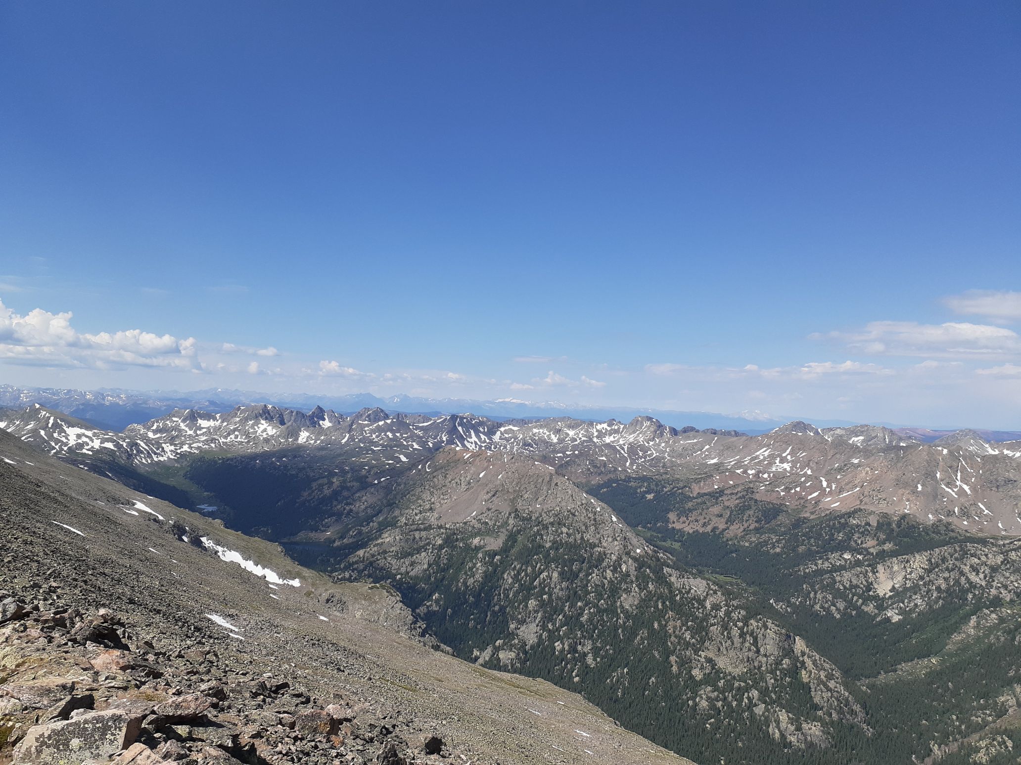
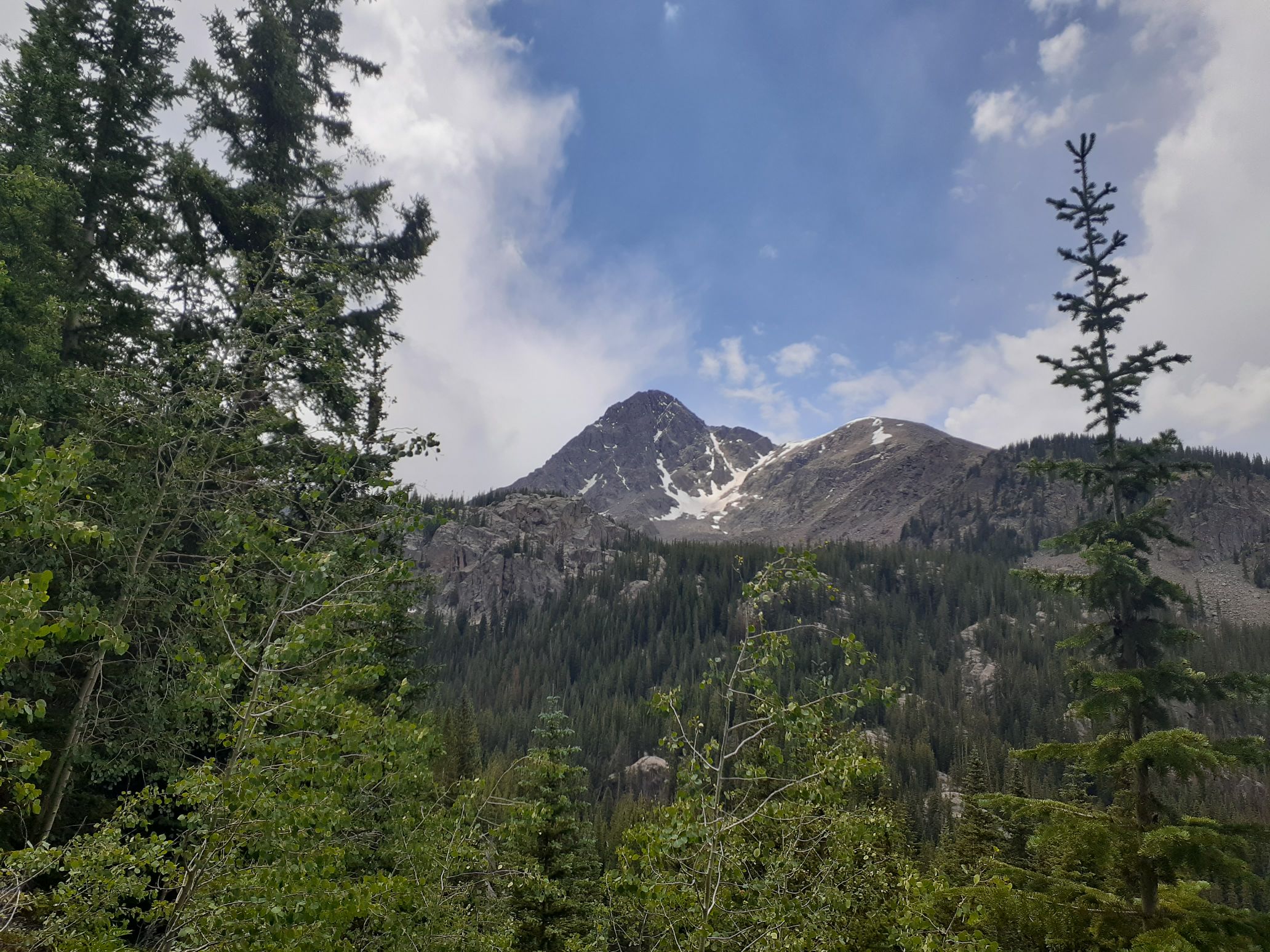
Back to top
July 17 – Democrat, Cameron, Lincoln, Bross, Quandary, Buckskin, Fletcher, Atlantic, Pacific, Crystal, Silverheels (35 miles, 15kft gain)
I was now solidly in the front range mountains and expected things to be even more crowded. However, climbing peaks at night assured I would still have summits to myself. I left the Kite Lake trailhead at midnight from a mostly full parking lot and headed up the good trail to Democrat. From there I did the standard loop hike over Cameron, tagging Lincoln, and then over to Bross and back down. As I was heading down Bross around 3am I saw the first headlamps from other hikers starting up the loop.
I got back to the car and crossed over to hike up the trail towards Lake Emma. At a flat meadow I cut south, though marshy swamp, and then hiked directly up the steep northeast slope of talus and scree to the summit of Buckskin. The sun was just rising as I topped out, making for great views across to the Democrat-Bross ridge. I hiked back down steeply, reaching the car around 6:30am. By then the lot was overflowing, with cars parked on the side of the road for at least half a mile. There had to be over 100 cars there, and it wasn’t even a weekend!
I drove down and my prime spot was quickly taken. I then drove north, past the equally crowded Quandary Peak trailhead, to the McCullough Gulch trailhead. I planned to do a loop to hit four centennials there. The road was gated, but continued a bit farther, so I biked the first mile, then continued on foot. I hiked up into the pretty basin north of Quandary, passing a bunch of other hikers. Unexpectedly there was a decent trail going all the way up to the saddle on the west ridge of quandary and then along the west ridge a ways to an old miners cabin.
From there it was a fun 3rd class scramble to the summit. I quickly tagged the highest rock then retreated back on the ridge to get away from the crowd of 50 people there. I retraced my route down to the saddle, then scrambled up the east ridge to Fletcher. There was only one other hiker on Fletcher (a 13er peak), and we chatted for a while. He said he was working remotely so had time to squeeze in a hike in the morning and then just shift his schedule to work in the afternoon. I guess that’s what a lot of hikers on Quandary were doing.
My next peak, Atlantic, was along the ridge north of Fletcher, but unfortunately the ridge is 5th class. So I descended back to the saddle, then scree surfed down into McCullough Gulch and scrambled back up the standard northeast slope to Atlantic Peak. From there I scrambled the ridge directly north to Pacific Peak, then continued up the next ridge to Crystal Peak. To exit I decided to make a big loop instead of going back up and over Pacific. I dropped down into the valley south of Crystal, then traversed around the long east ridge of Pacific and bushwhacked back to my bike. I hadn’t seen this loop done before, but it worked out pretty well.
I then had an easy coast back to the car. By now the lot was overflowing. I drove a bit farther up the road, found a nice quiet pullout, then cooked some pasta as it started raining hard. Rain actually helps me sleep, so I took a 3 hour nap as the storm passed over.
By 8pm the storm lifted and I started driving to my next objective – Mt Silverheels. I decided to take the standard approach from the south, since it appeared I could involve my mountain bike to speed things up. I drove to the Beaver Creek trailhead and started up on my bike at 9:30pm. I was able to bike up for about an hour before the road deteriorated too much and became too steep. From there I hiked up the old abandoned ATV track a ways until it diverged from the ridge. Then I basically just hiked directly up the south ridge on grassy and talus slopes to the summit. I reached the summit almost exactly at midnight, which made this day my best day for centennials, logging 10 centennials from midnight to midnight.
It was cold and I was starting to feel the effects of sleep deprivation. I sent an inreach message at the top, then started back down, reaching the trailhead around 1:30am.
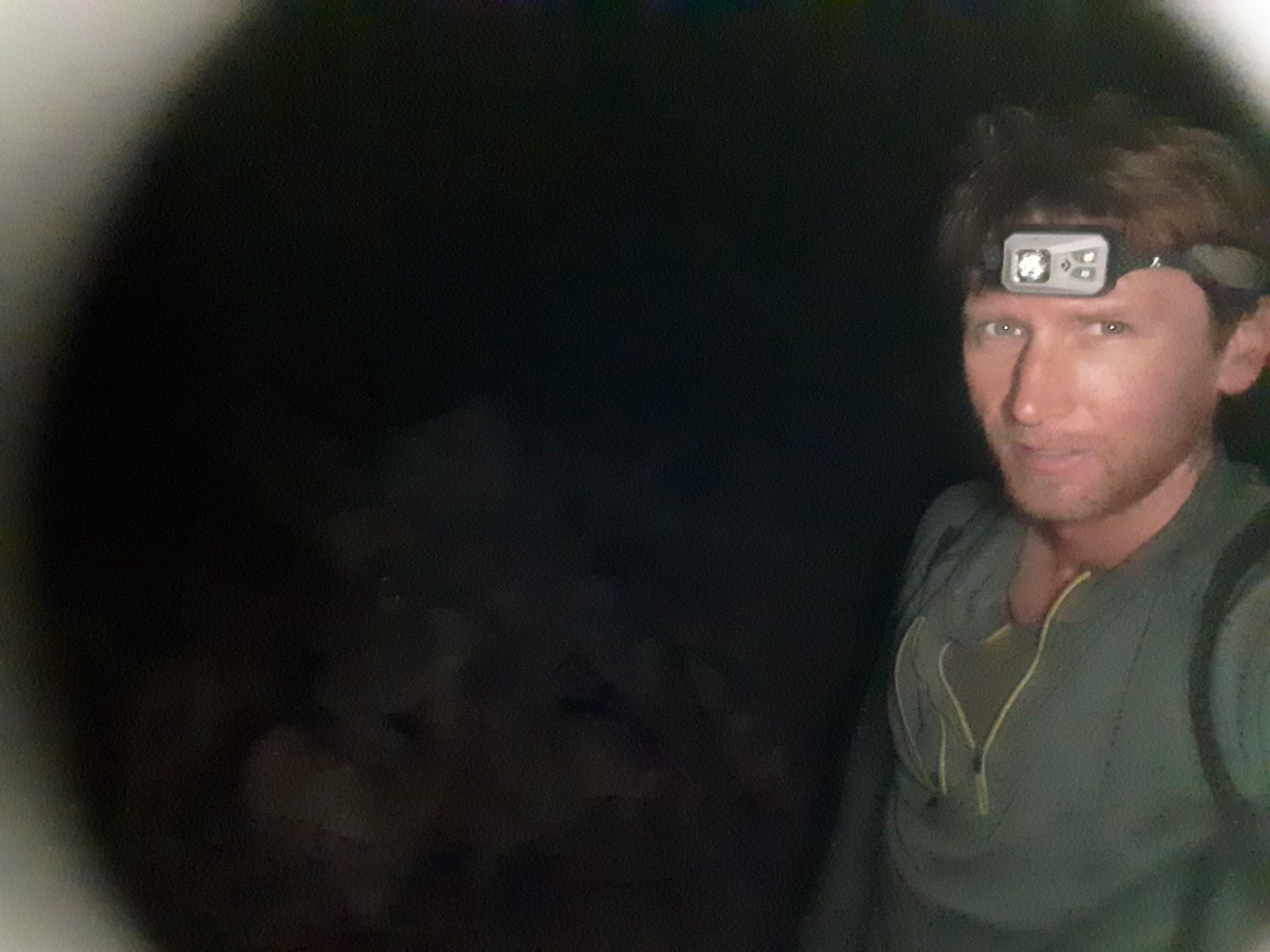
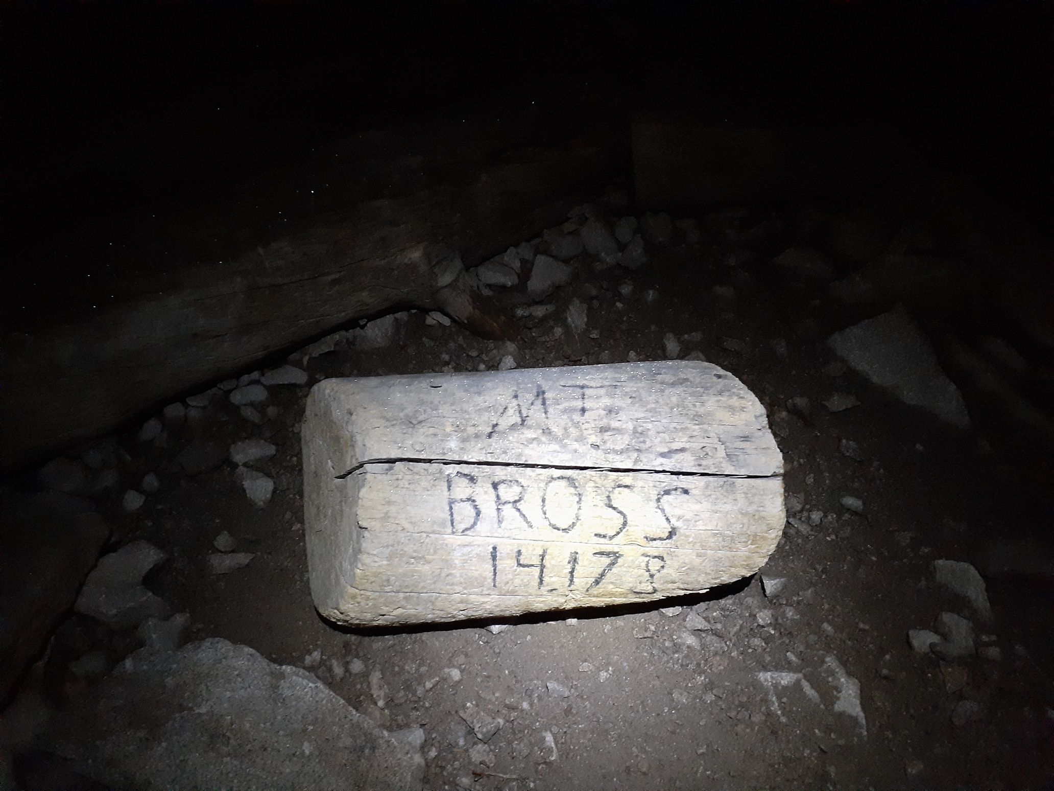
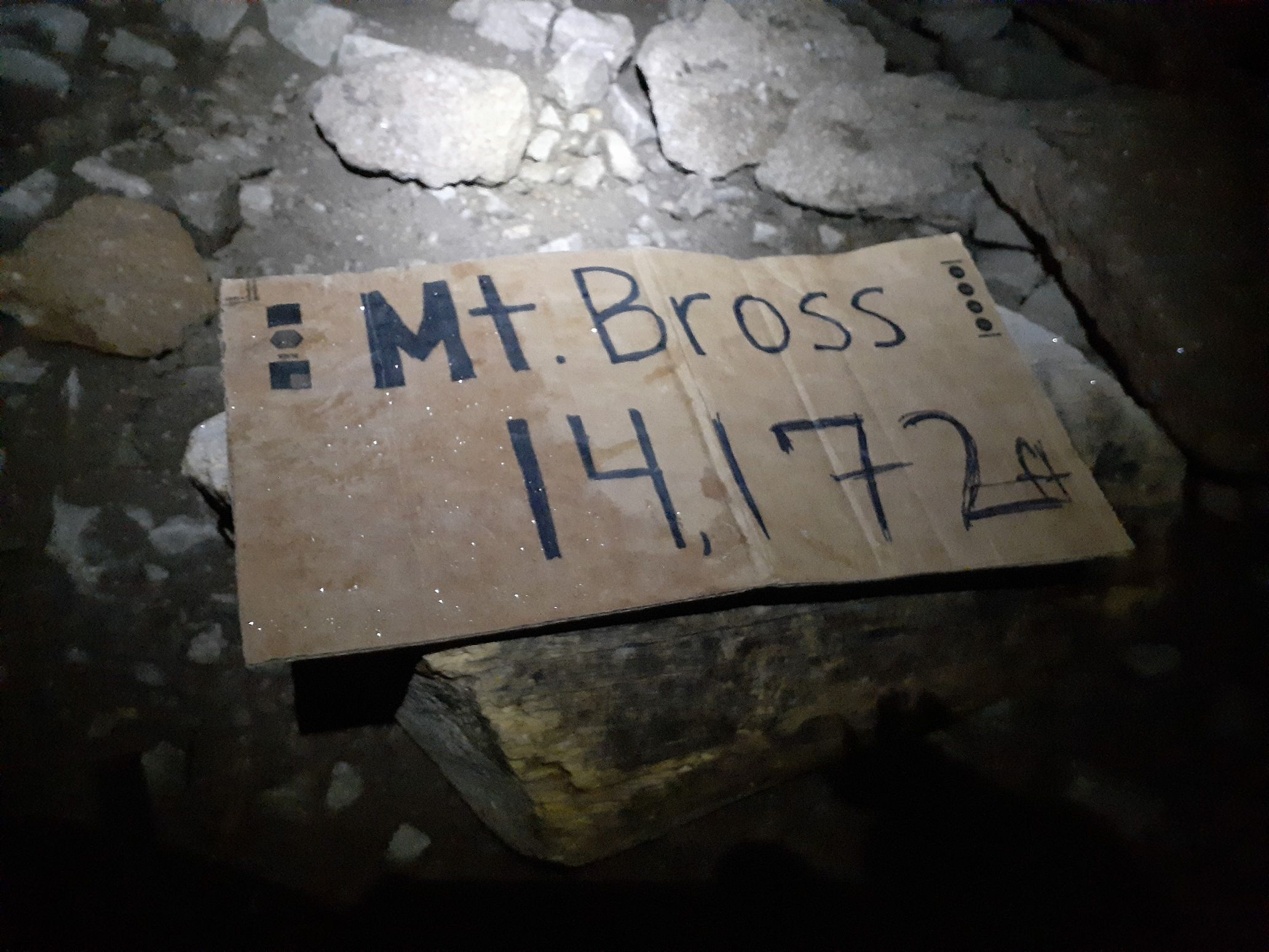
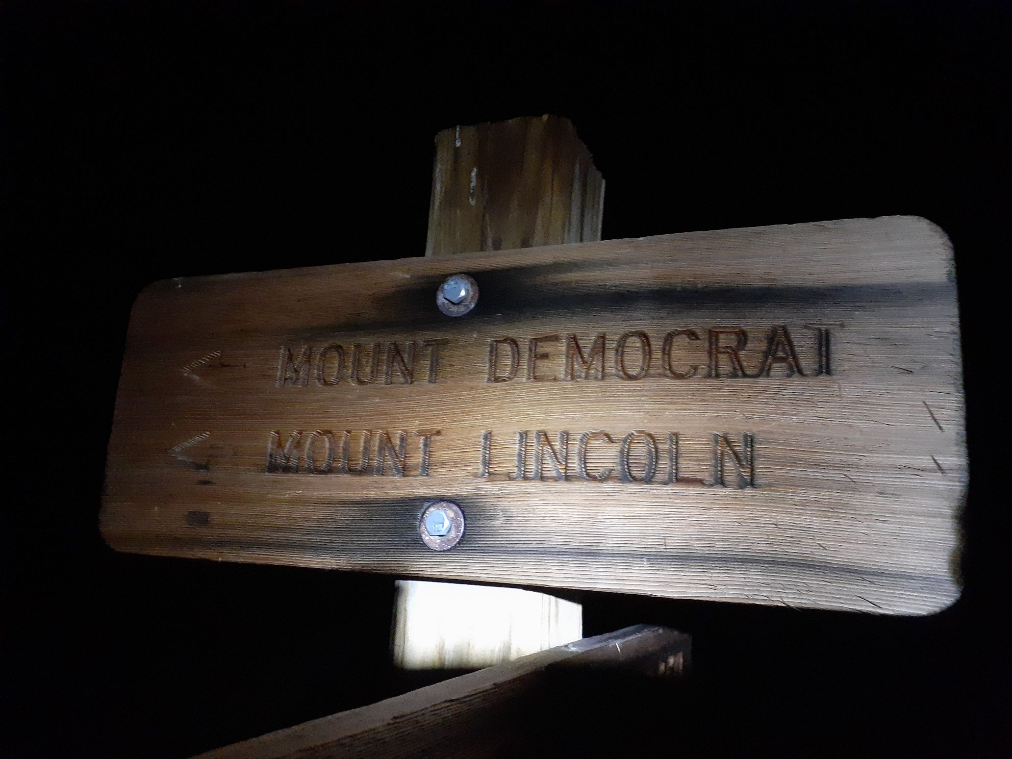


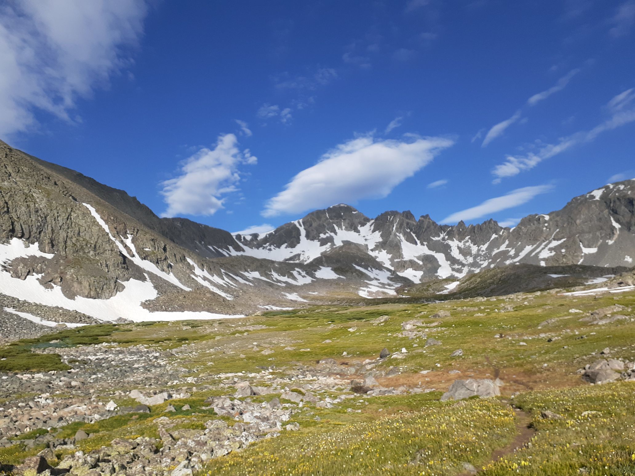
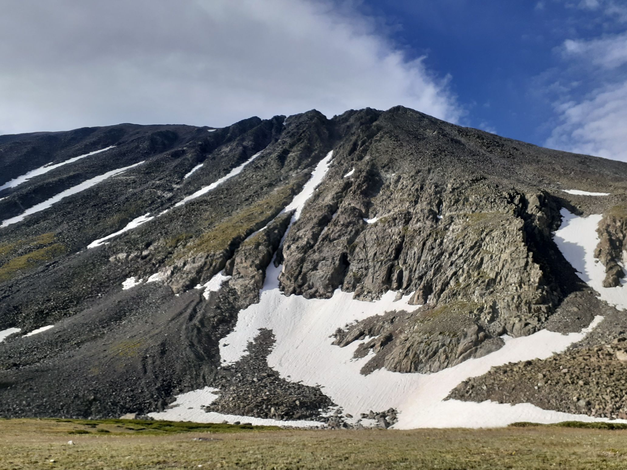
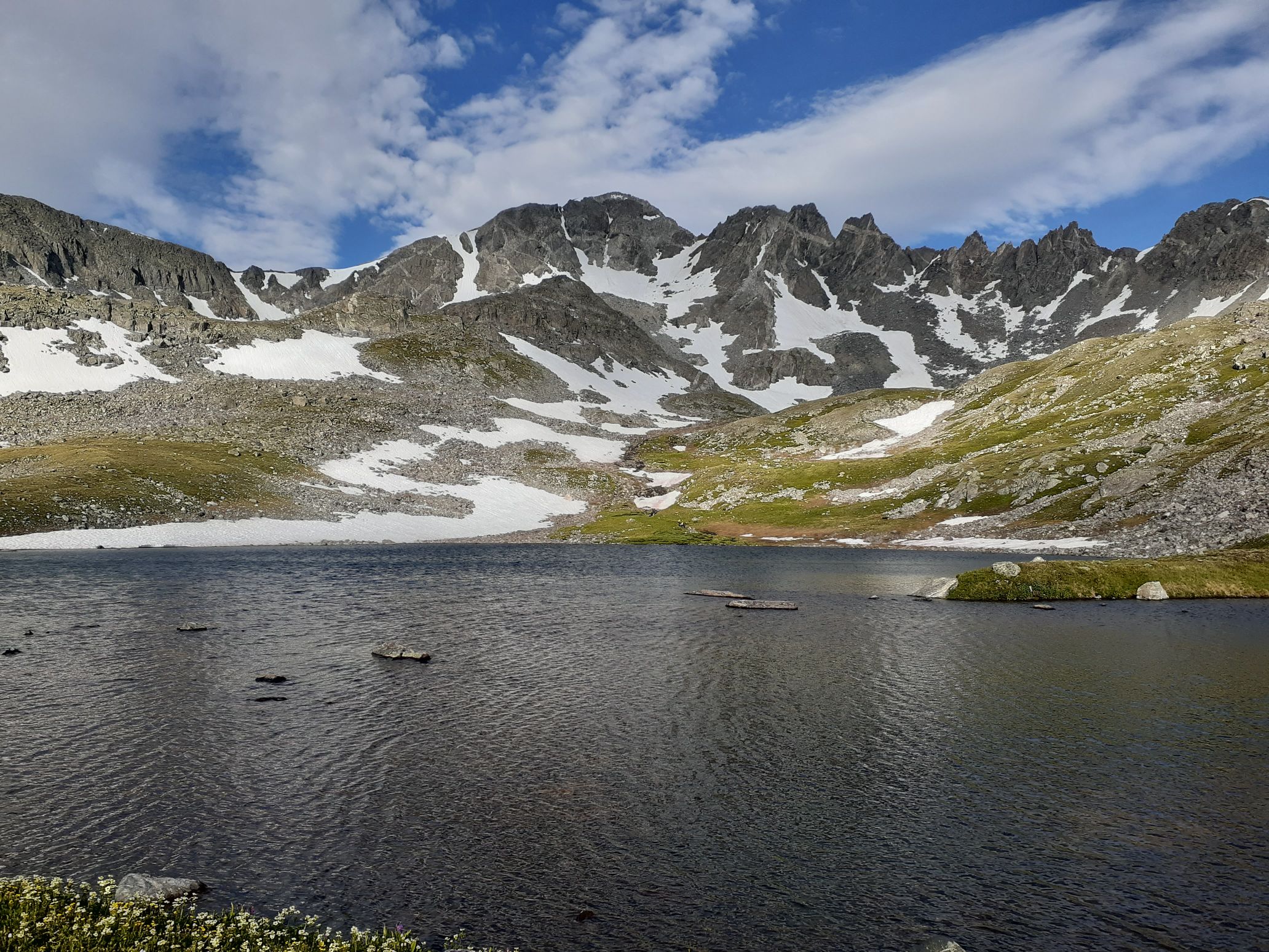
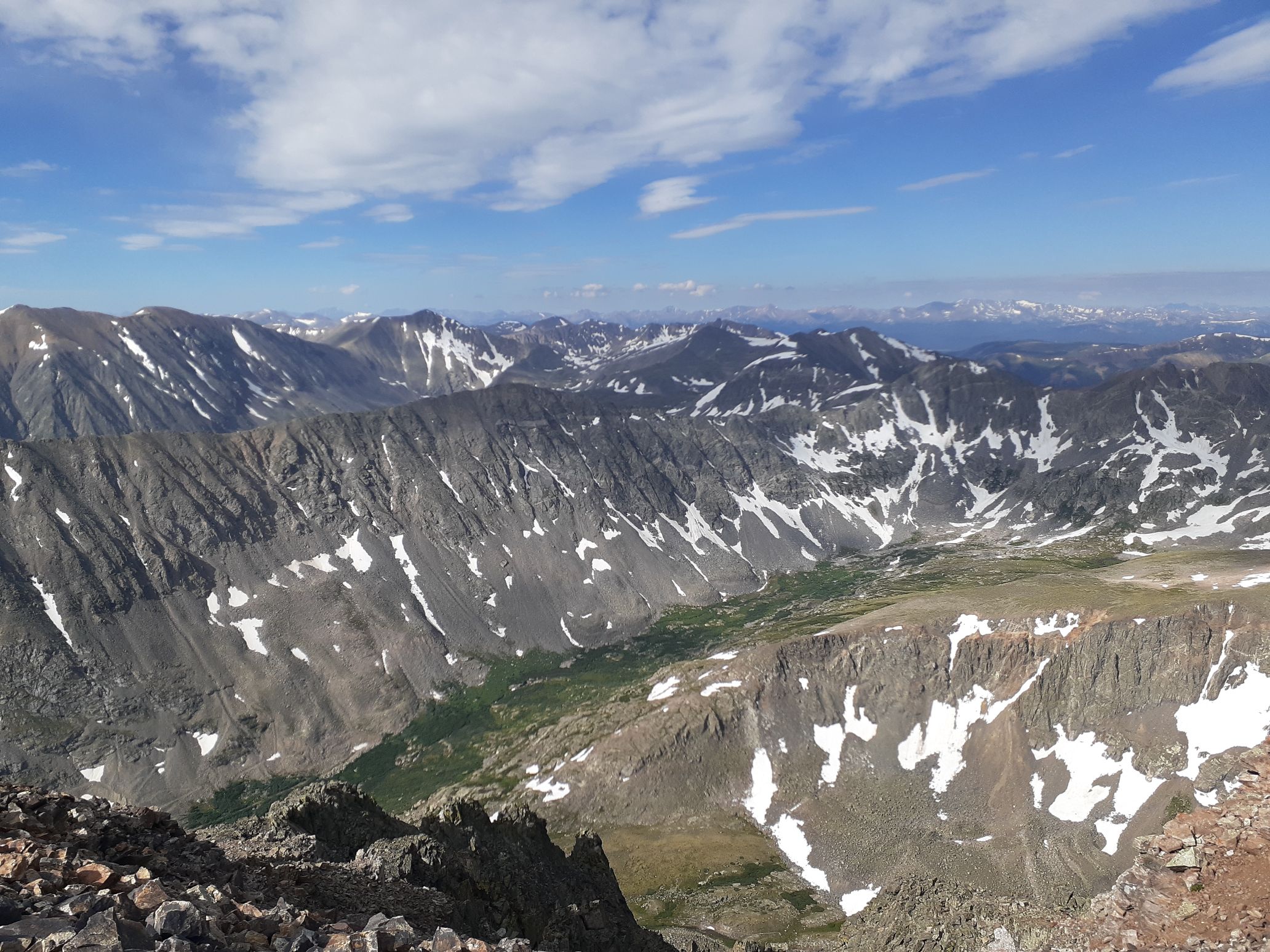
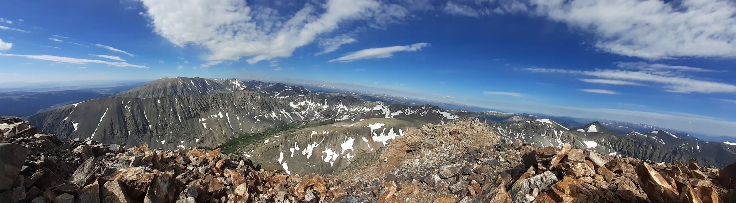
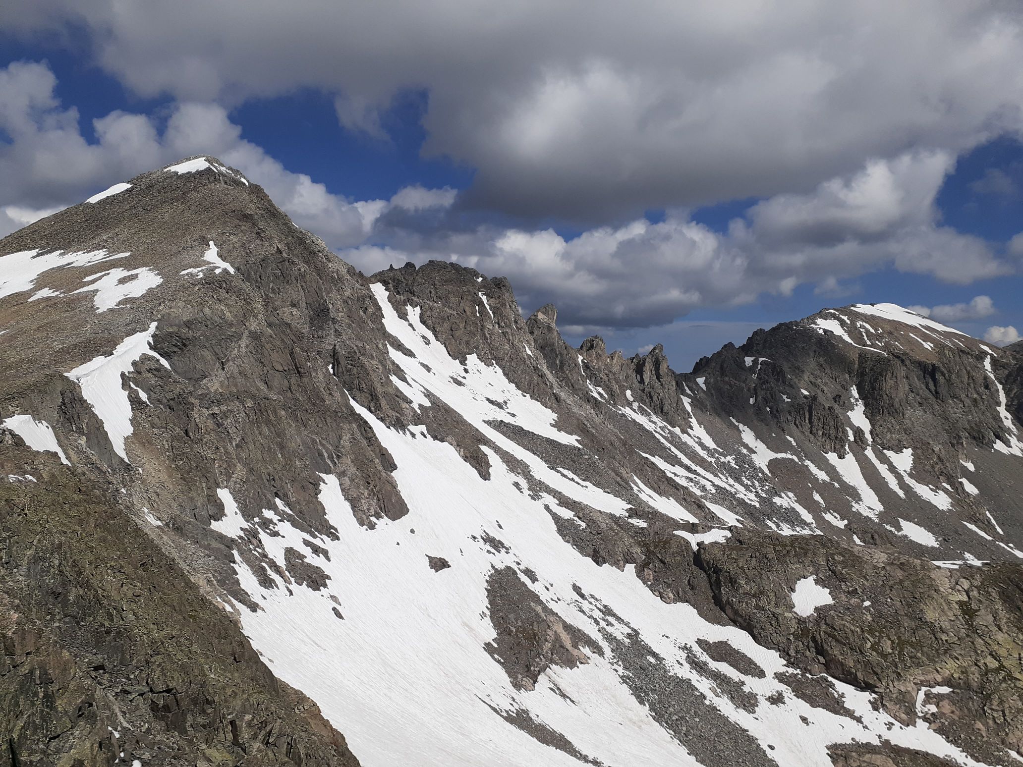
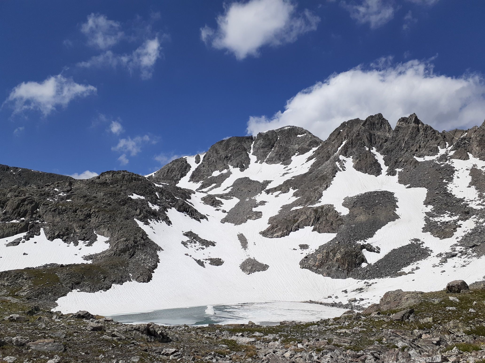
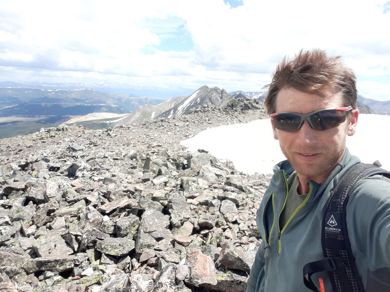
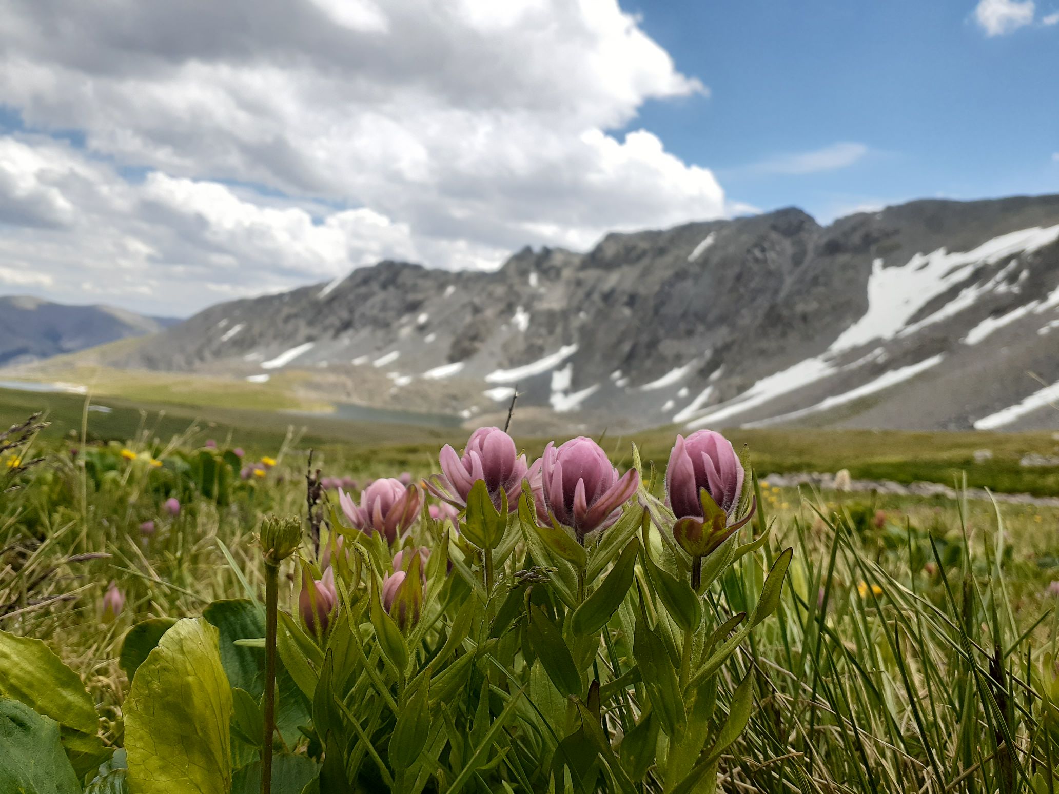
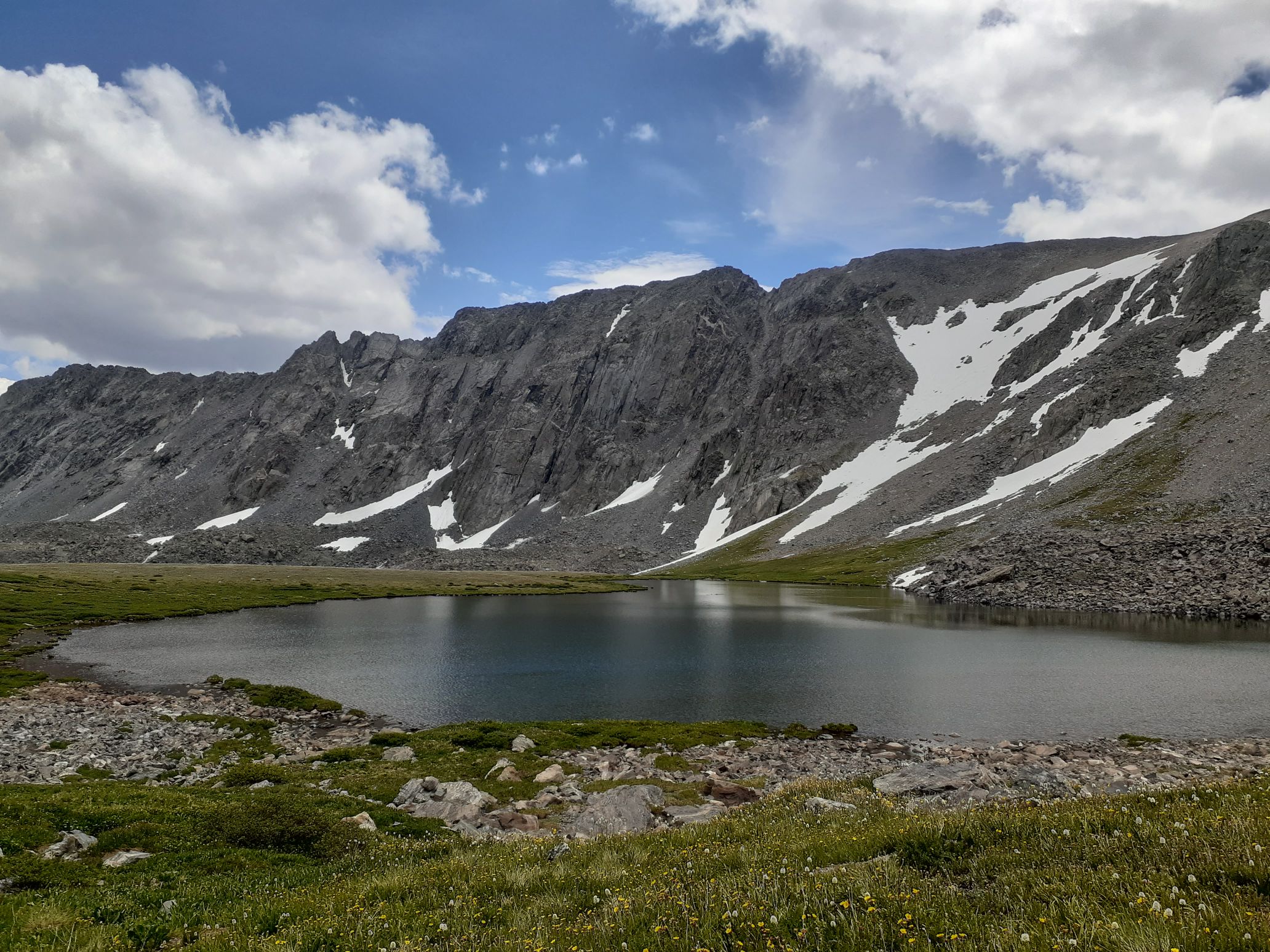
Back to top
July 18 – Clinton Peak, Grays peak, Torreys Peak, Mt Edwards, Mt Bierstadt, Mt Evans (30 miles, 10kft gain)
I was really tired at the trailhead but started nibbling on trail mix and was able to start driving. I drove back north to the Montgomery Reservoir trailhead by 2:30am. On the map it looks like it would be easy to combine Democrat with Clinton on an easy ridge run, but unfortunately that ridge is 5th class. So I would need to do a longer approach to Clinton. This actually ended up being one of my favorite peaks, though, because of the long and fun mountain bike approach. The route follows a rough 4wd road to Wheeler lake, and this is considered to be the third toughest 4×4 road in Colorado.
I left the car at 3am on my mountain bike and started up the road. There are tons of difficult rock outcrops to navigate and deep creeks through the road, but I was somehow able to bike up almost all of it. However, the final steep ascent up to Wheeler lake was too steep and I had to push the bike there. I reached the lake around 4am and parked the bike next to two very hardcore jeeps. I really don’t see how any vehicle could get up that road, but they made it.
There were big snow slopes leading down to the west side of the lake, and I again neglected to bring traction. But I managed to scramble around and cross a low-angle slope to gain the valley above. I then followed the valley until I was directly below the south face of clinton, then hiked up scree to the summit. Interestingly there was a huge mining operation just west of the summit, and that looks like the easiest way up, though I think access is restricted.
The sun was just rising as I topped out, and the views were excellent. I retraced my route back to my bike and started biking down just as the people camped in the jeeps were waking up. I was actually able to bike down almost 100% of the road, and it was a lot of fun. I passed a handful of people hiking up. Some of them seemed annoyed at me, though I slowed down and moved over for them so I’m not sure what the problem was. Maybe they just wished they were biking too instead of hiking.
I got back to the car around 7:30am and immediately started driving out. I was close to finishing and it looked like my plan would work. Unfortunately it was a Saturday and I had Grays and Torreys to do next. I’d read these were some of the most crowded 14ers and good ones to avoid on a weekend. But I couldn’t just avoid all peaks on the weekend, and those ended up being next on the list.
I drove back to I-70 then east to the road up to the trailhead. The road got rough but I was still comfortable in my forester. Miles before the trailhead I started seeing cars parked on the side of the road and started getting worried. But I was pretty late in the morning so thought maybe someone had finished early and left. I drove all the way to the trailhead, then turned back and found a spot a half mile down the road.
It was close enough that the bike wasn’t really worth it, to I started hiking up around 9am. I passed a bunch of people on the trail, and started to regret that I had let my shoes get soaked on the bike ride down from Wheeler Lake. There had been a lot of creek crossings and I just blasted through them with abandon. Now I could feel hot spots and blisters starting to form, though.
I hiked up the trail to Torreys, and pushed through the crowd of 50 people to tag the summit. I then quickly descended and hiked over to Grays, then dropped down the side for a break. Those are probably the most crowded peaks I’ve ever encountered. I later talked to a trail crew worker who counted around 1,000 people that day!
From Grays I made a fun class 2 ridge run over to Edwards, then returned and hiked back out the trail. Storms were coming in by then, but people were still hiking up. I reached the car around 2pm and cooked up some pasta. My schedule was kind of turning into dinnertime at 2pm, nap for an hour or two, then breakfast in the evening and start hiking. After the pasta I drove to georgetown, stocked up on some trail food and ice cream at the gas station, then drove up to Guanela pass.
As usual, there were cars parked all up and down the side of the road, but the trailhead had a few empty spots since it was late in the day. I parked in the lot and took a 1 hr nap sitting in the front seat in front of great views of my next peaks, Bierstadt and Evans.
Around 7pm as the final storm clouds were dissipating I started up. I hiked up to Bierstadt first, topping out around sunset with great views of the setting sun through rain in the distance. From there I dropped down to the north and followed the fun class 3 sawtooth ridge. It was a bit challenging navigating in the dark but I managed. I then turned east and scrambled to the west ridge of Evans, which I followed to the summit by 10pm.
Near the summit there were moths flying all over the place, likely stirred up by my feet and then attracted to my headlamp. It actually made progress very difficult and was extremely frustrating. Luckily as I descended they died down, though. I didn’t really want to do the sawtooth traverse again in the dark, so instead dropped directly down a drainage to the west of the plateau dropping down from Mt Spalding. Surprisingly I picked up a climbers trail in this drainage and was able to follow it all the way back to the main trail.
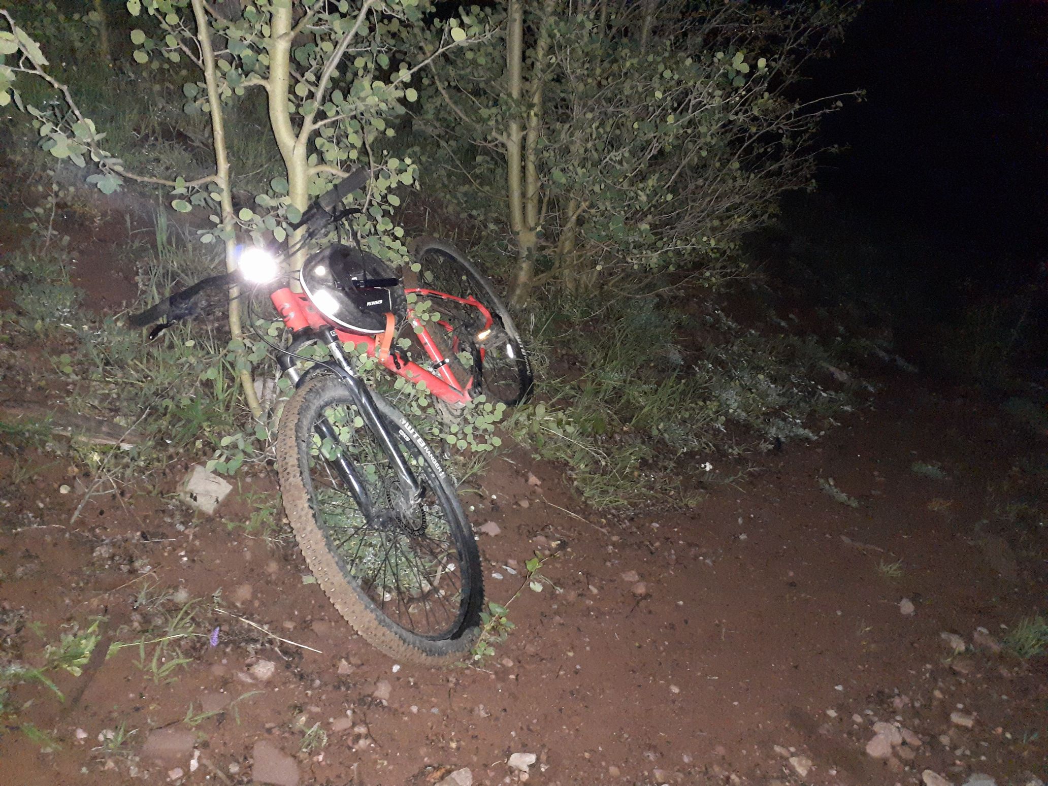
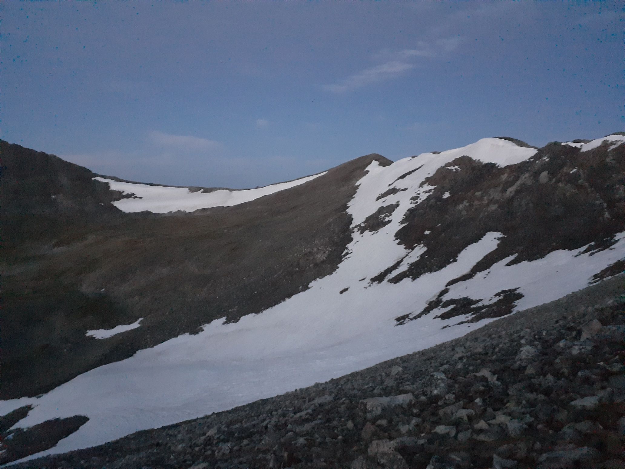
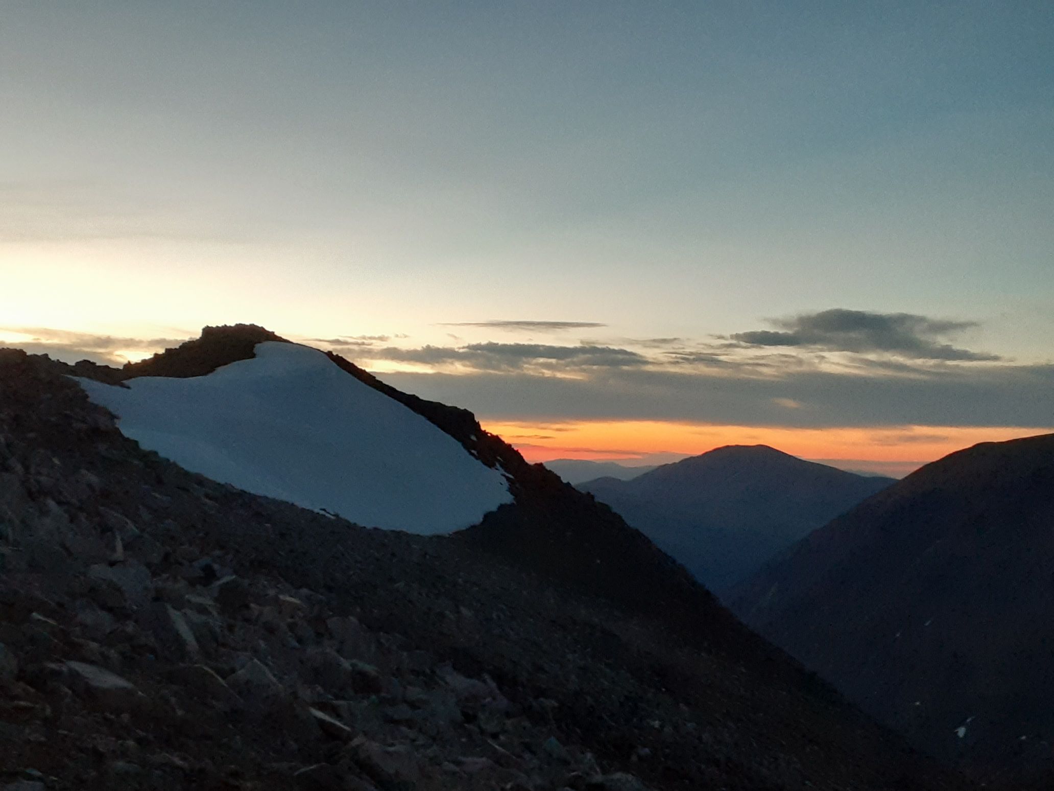
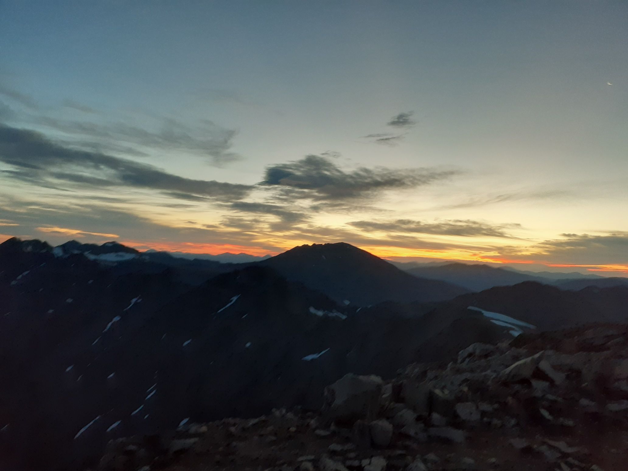
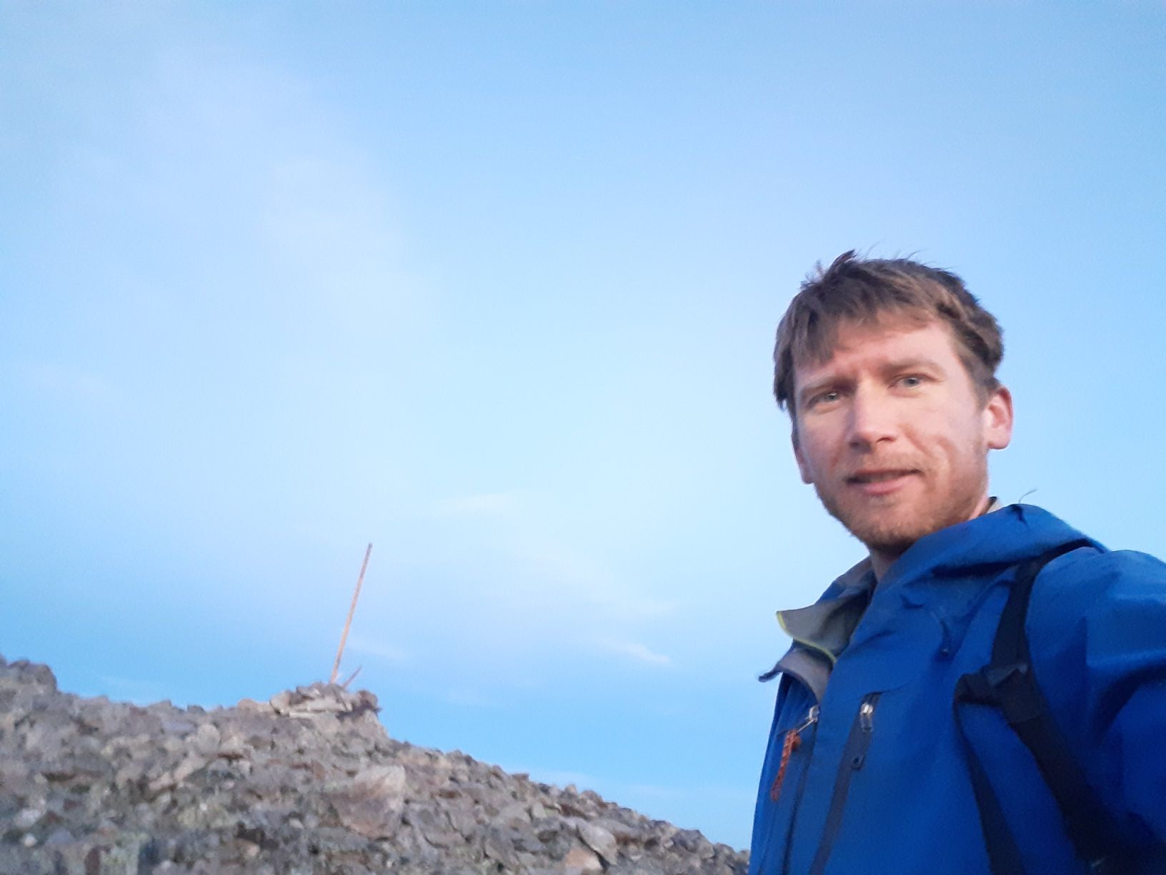
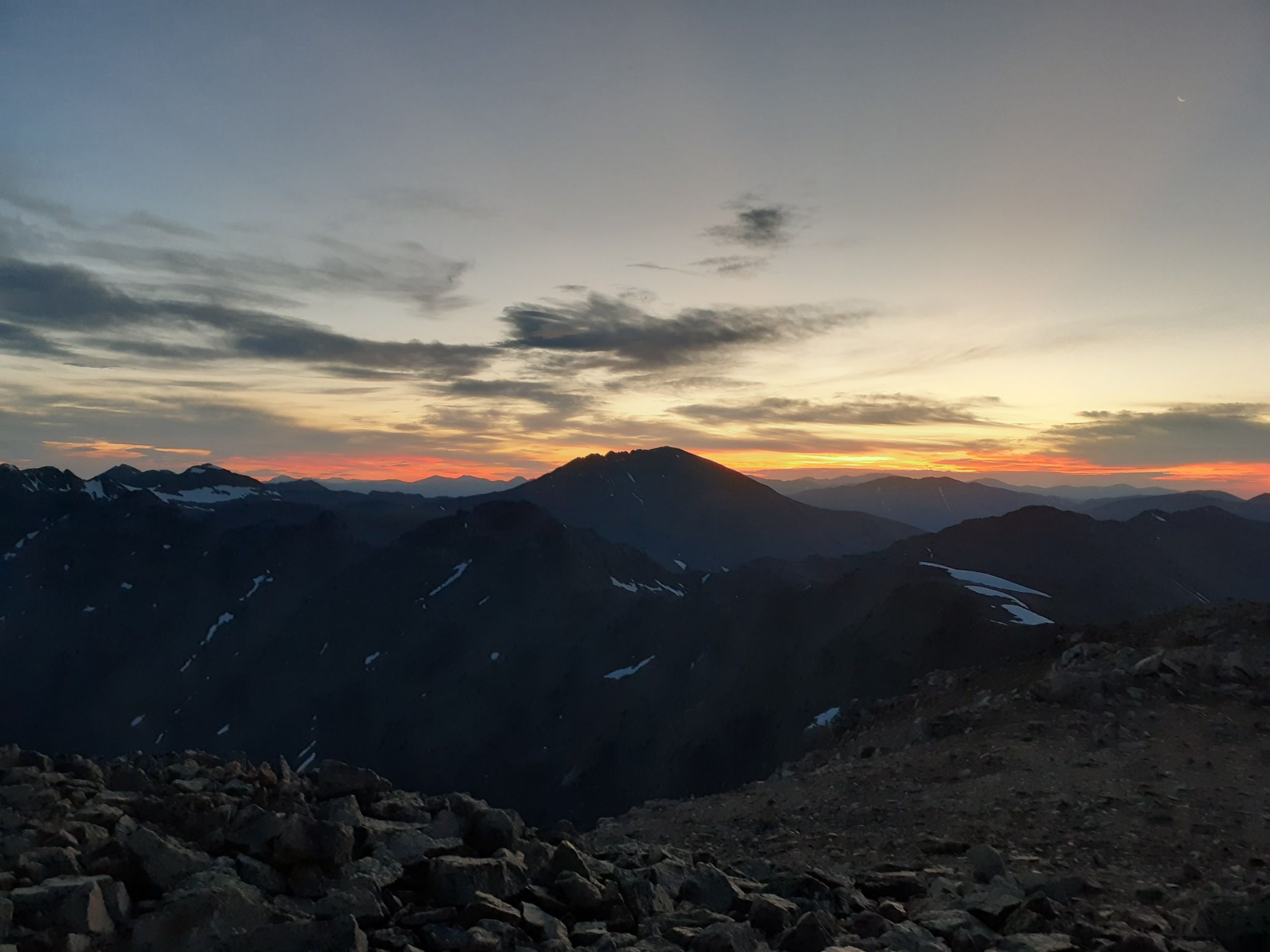
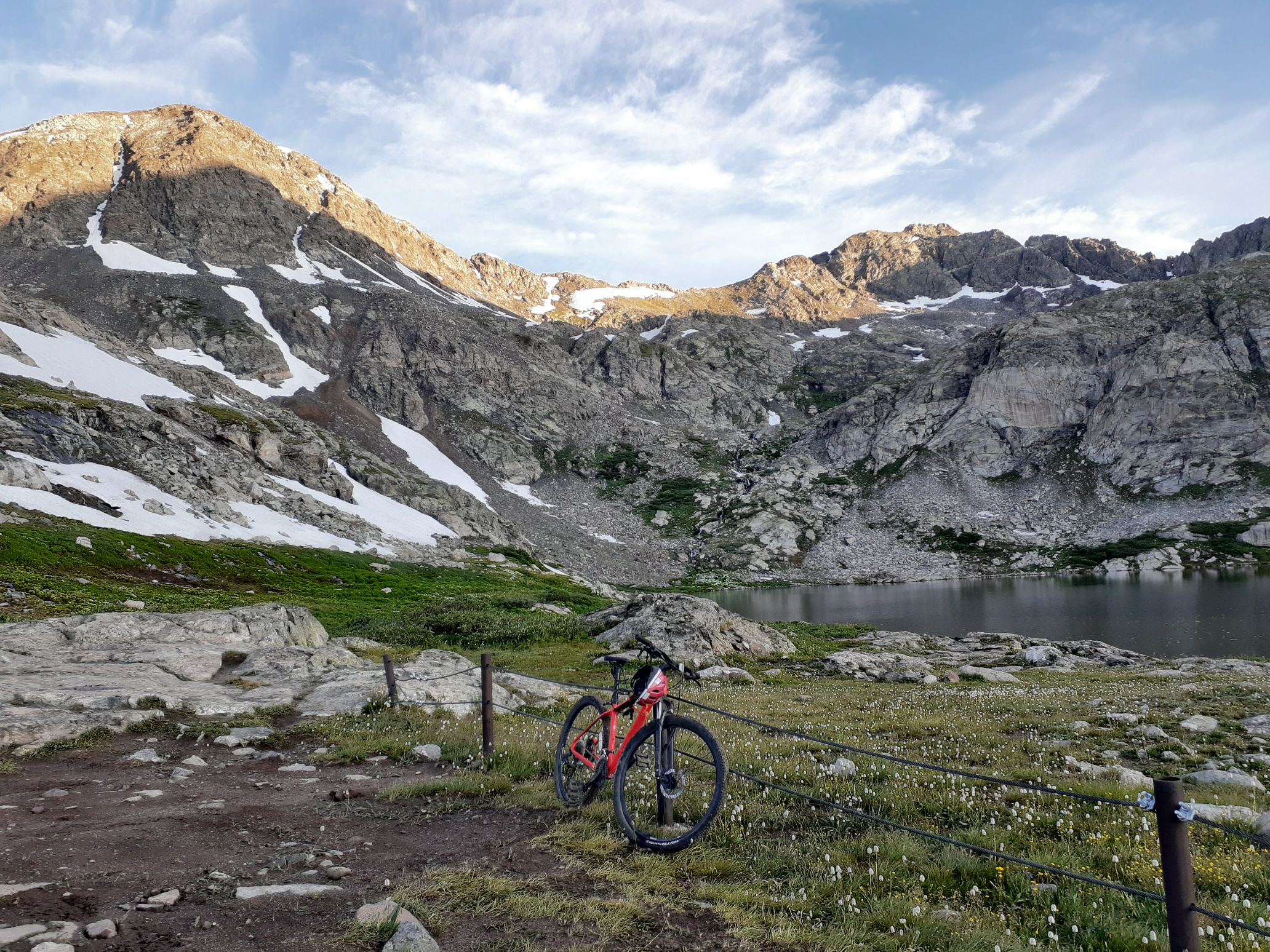
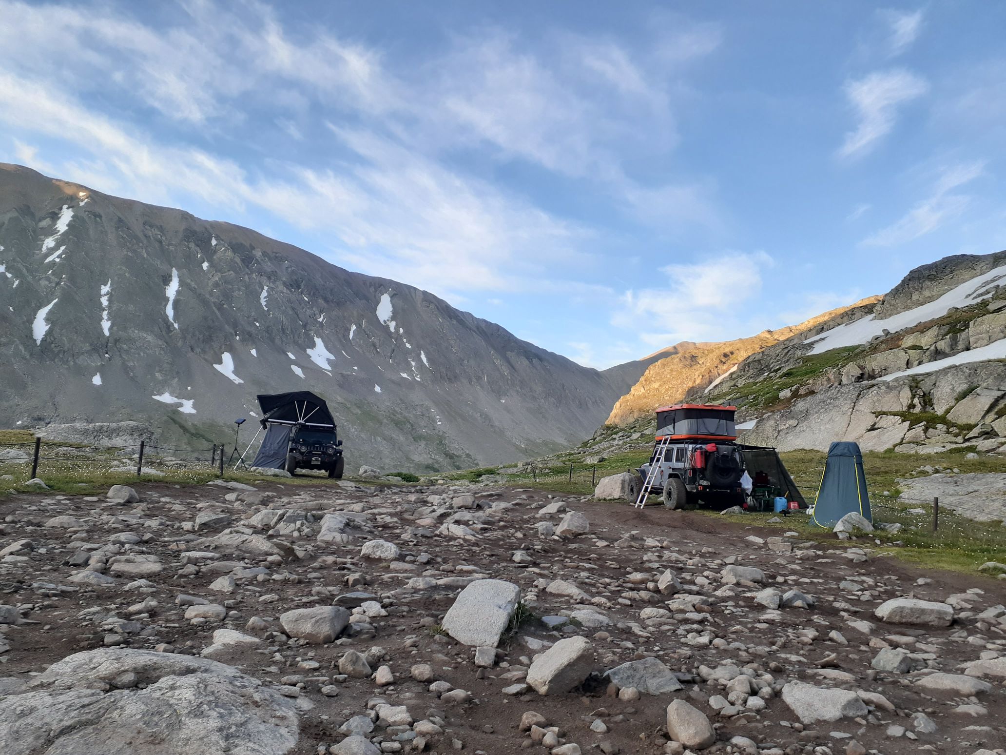
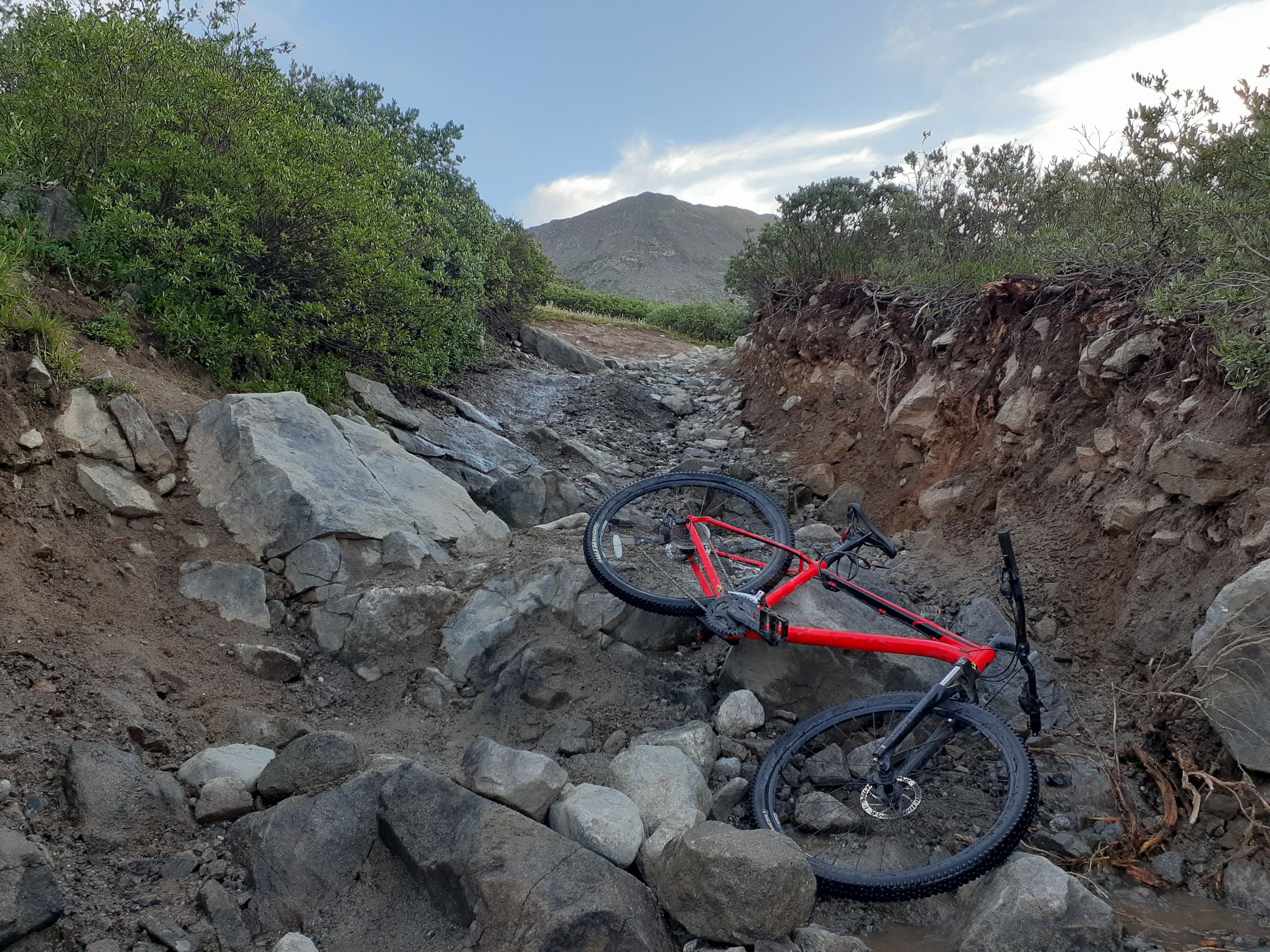
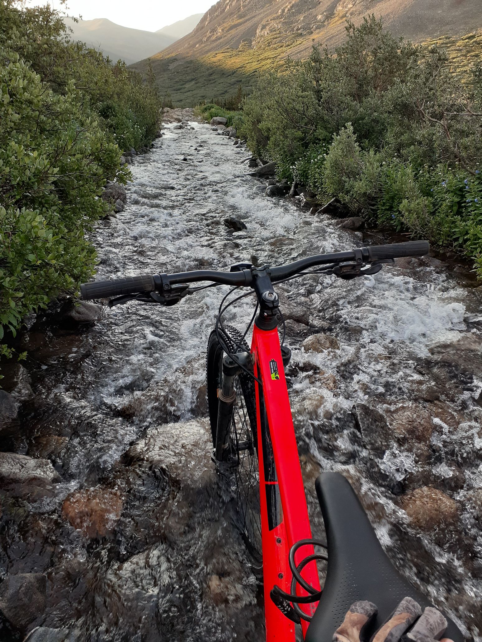
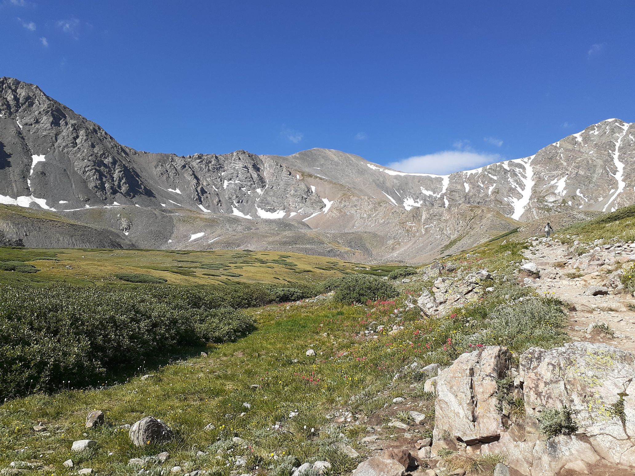
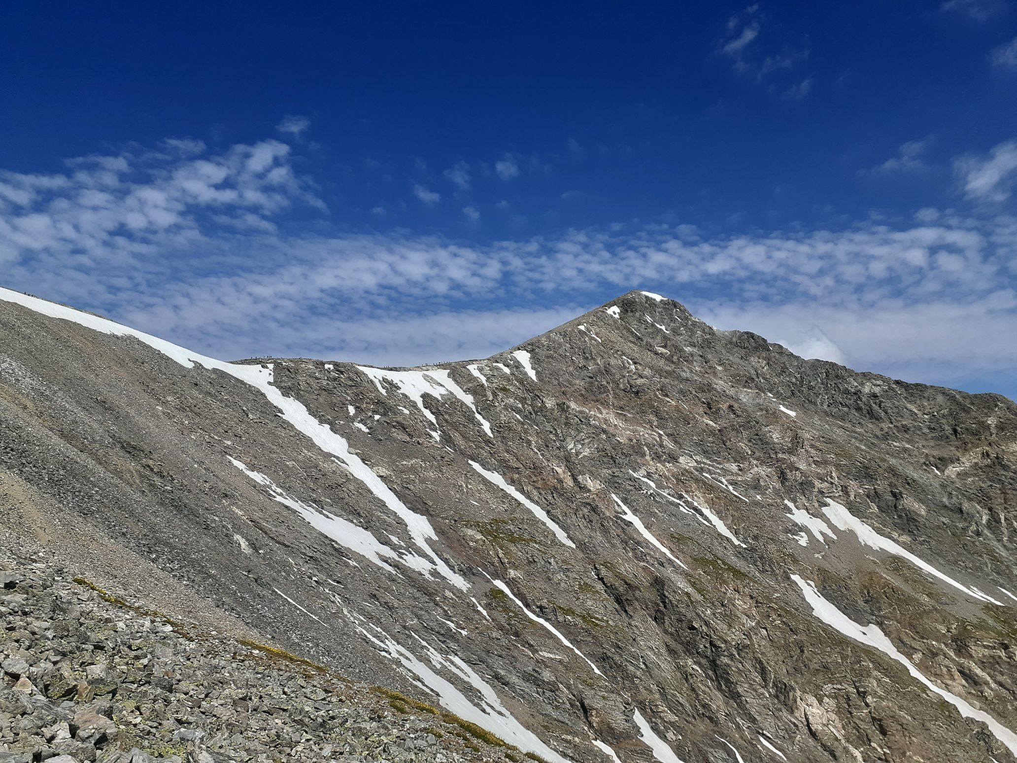
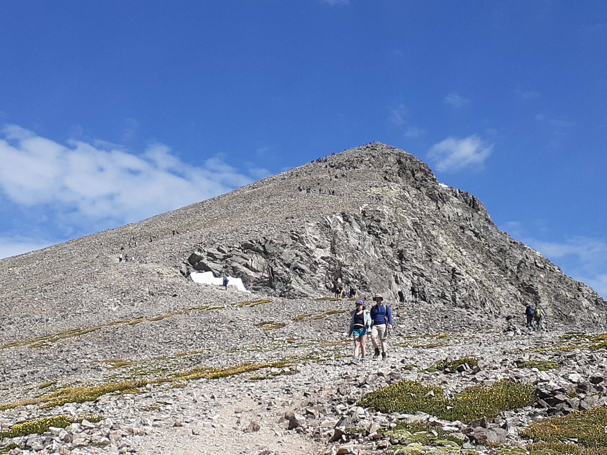
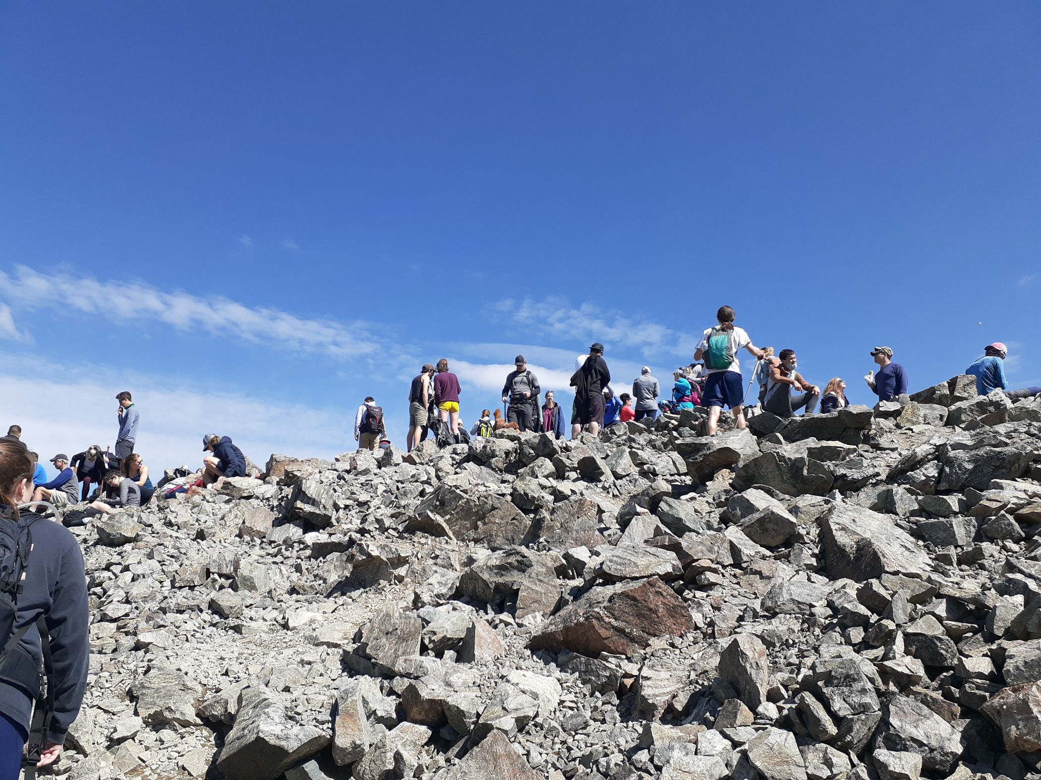
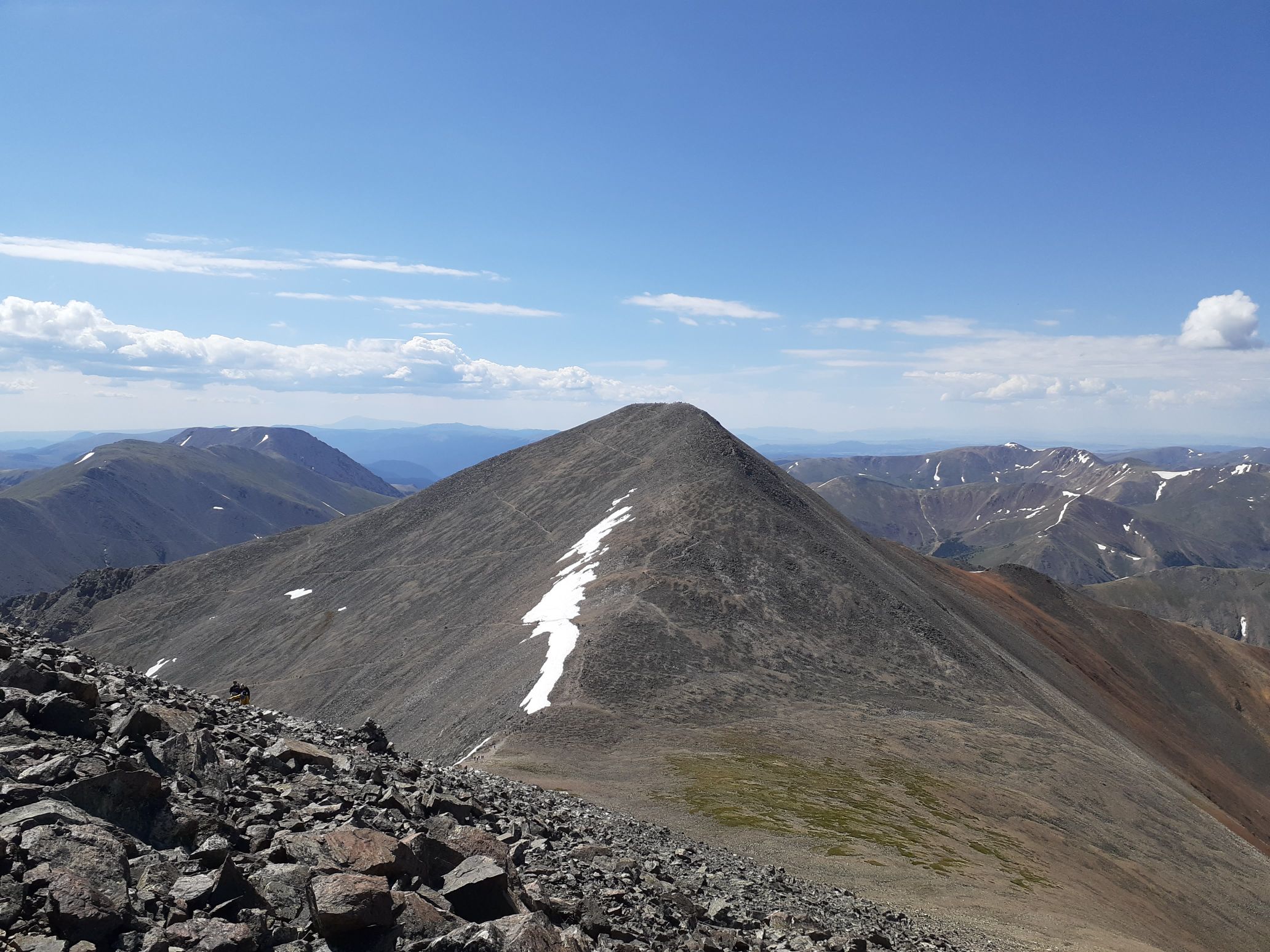
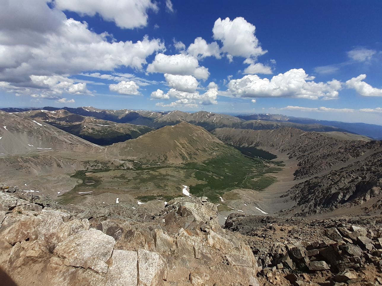
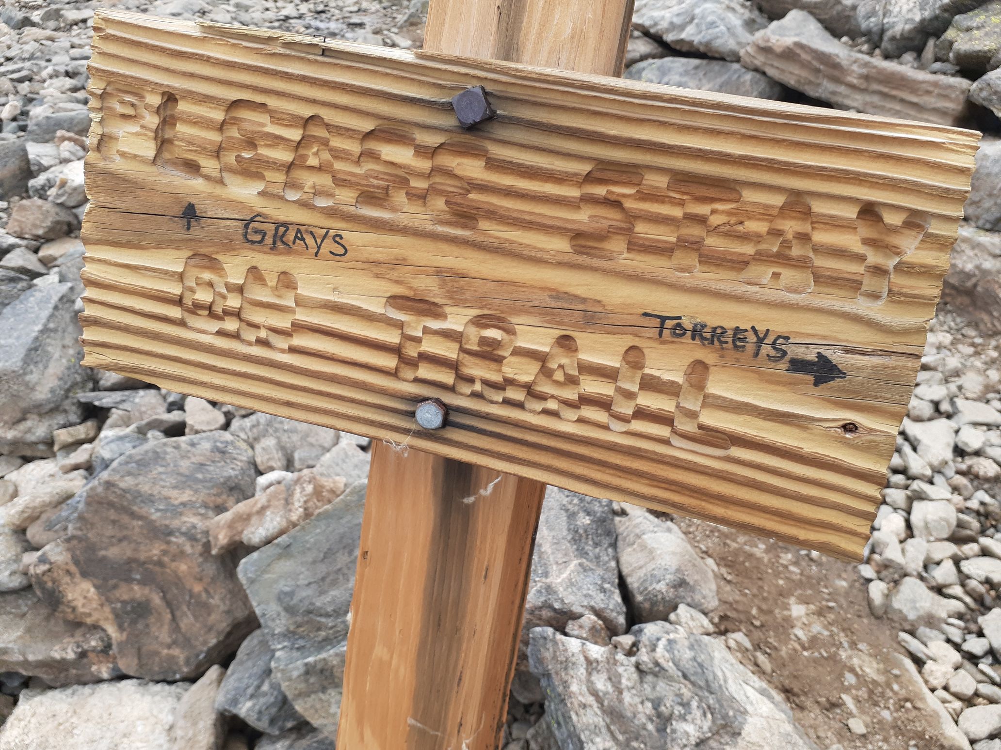
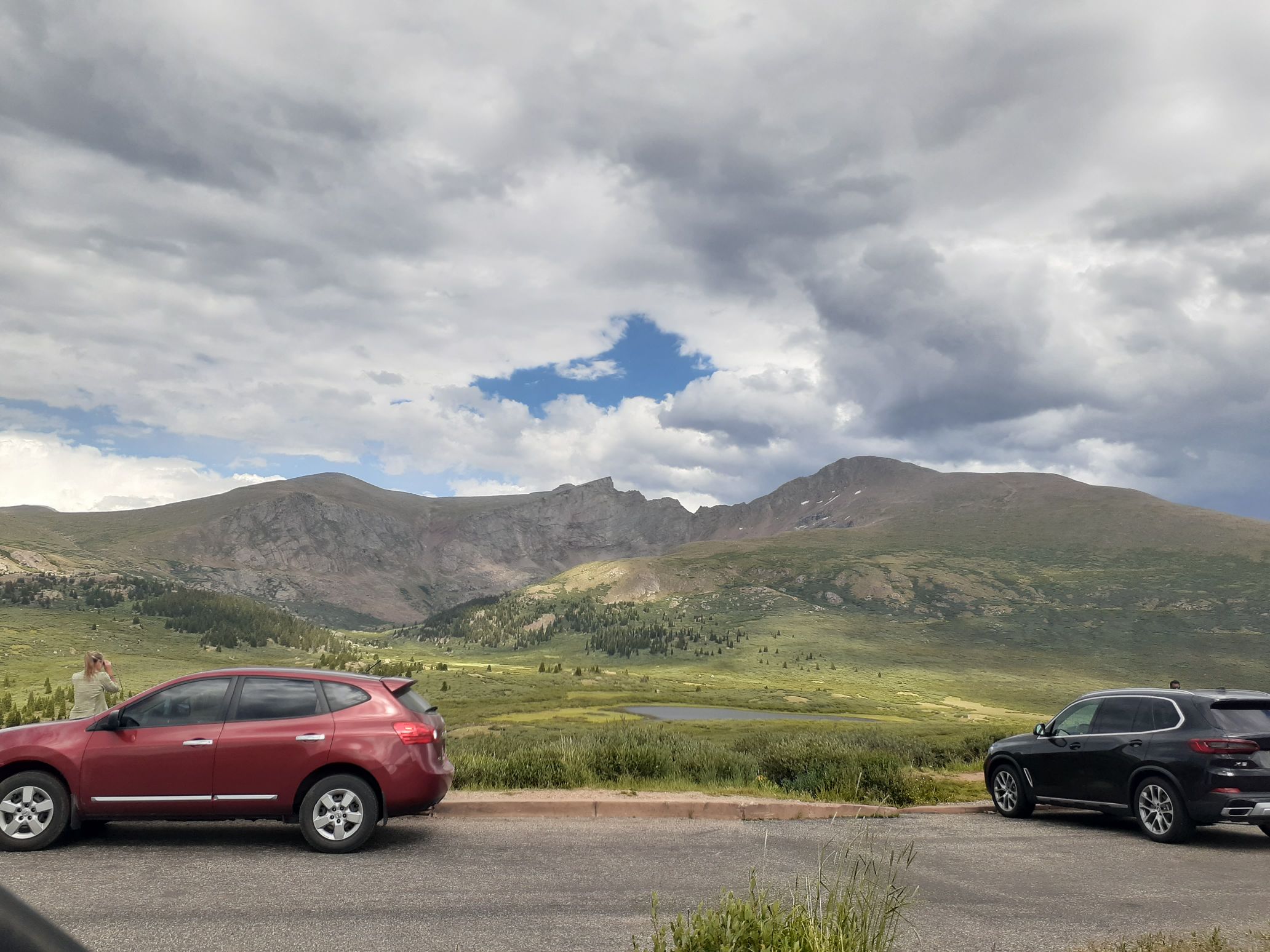
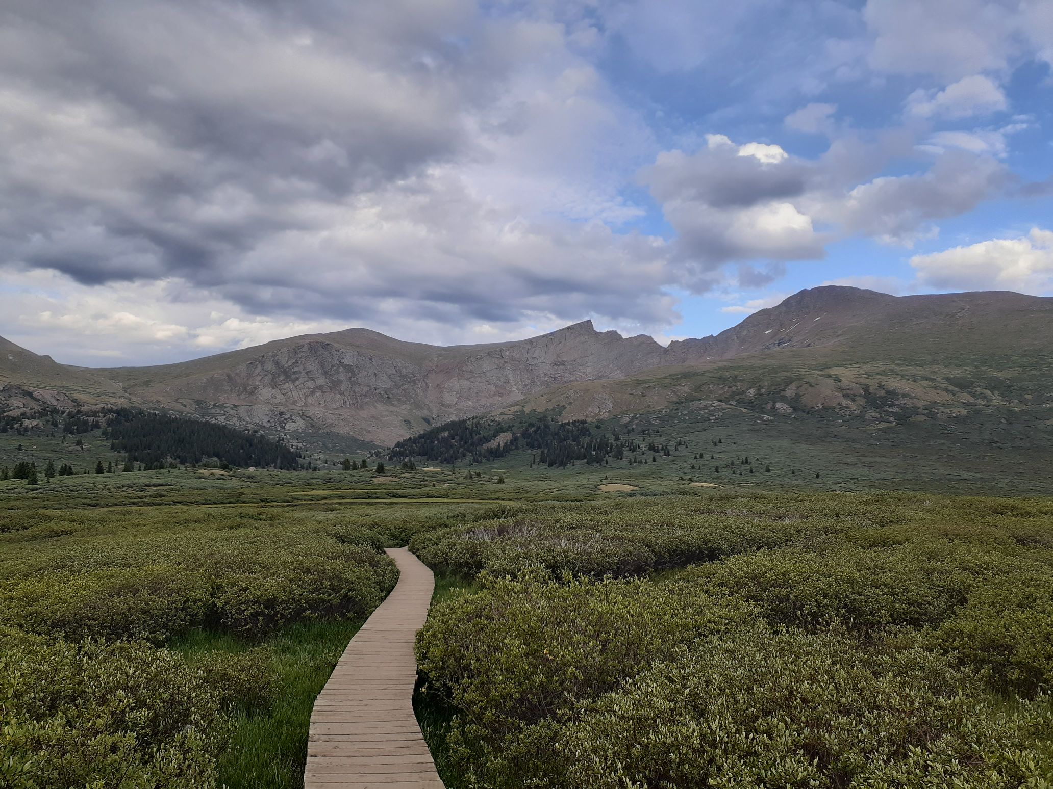
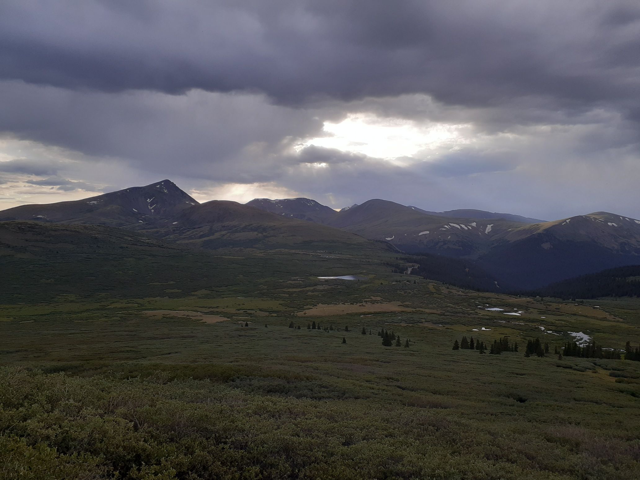
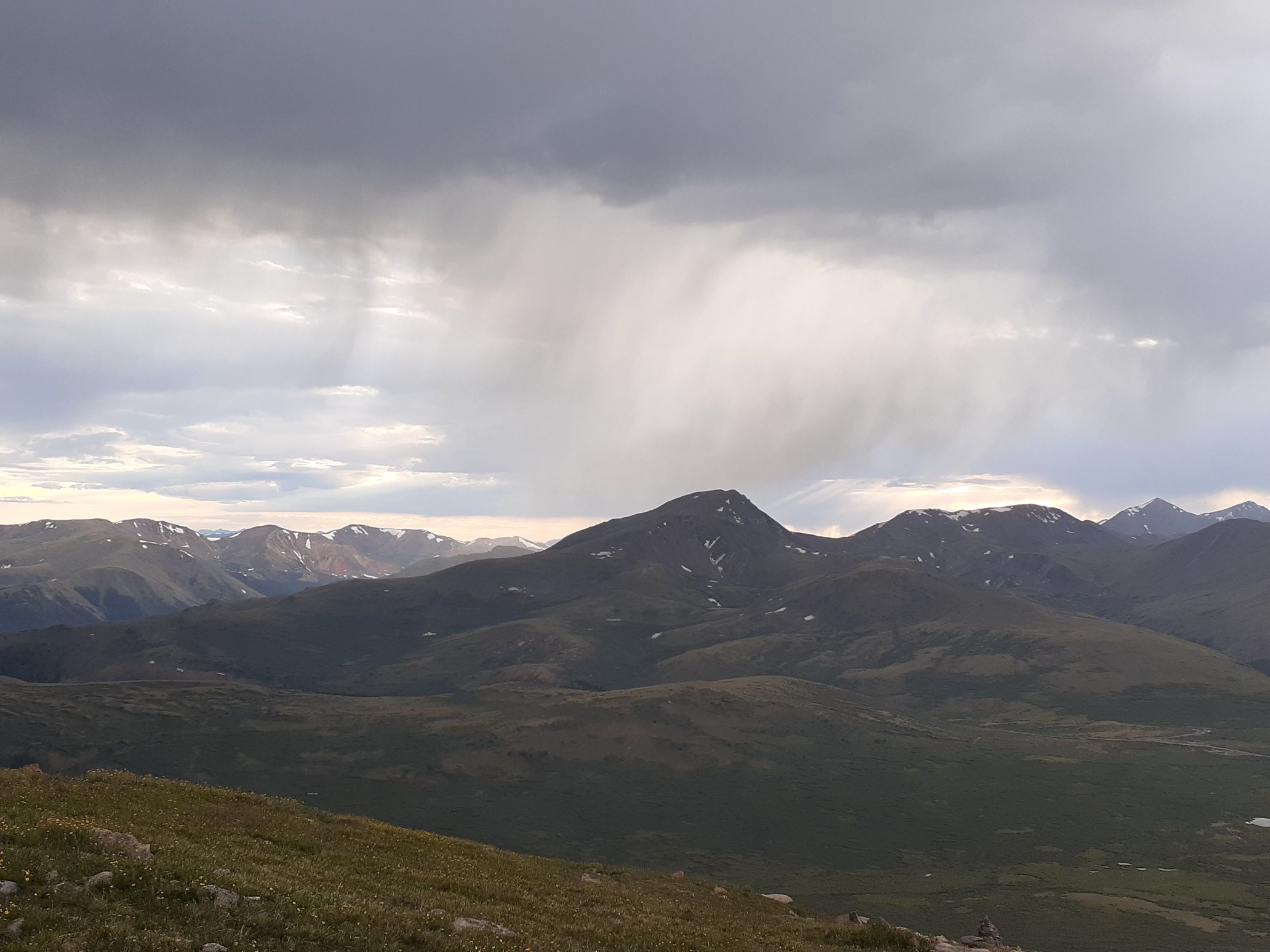
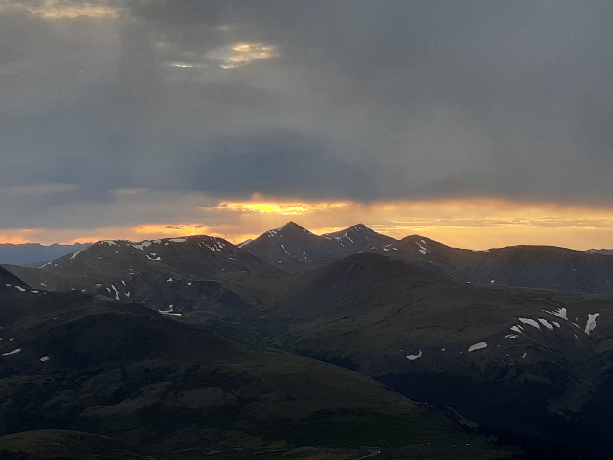
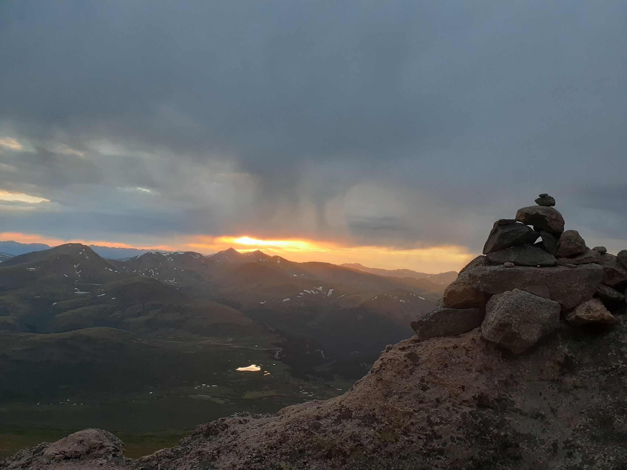
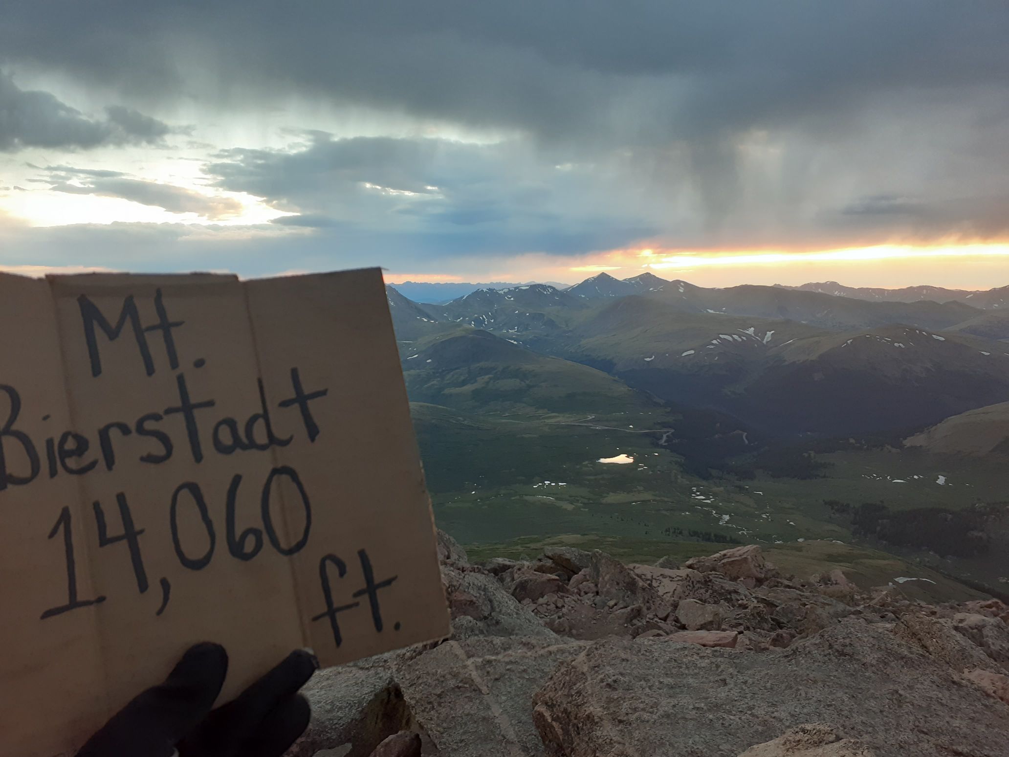
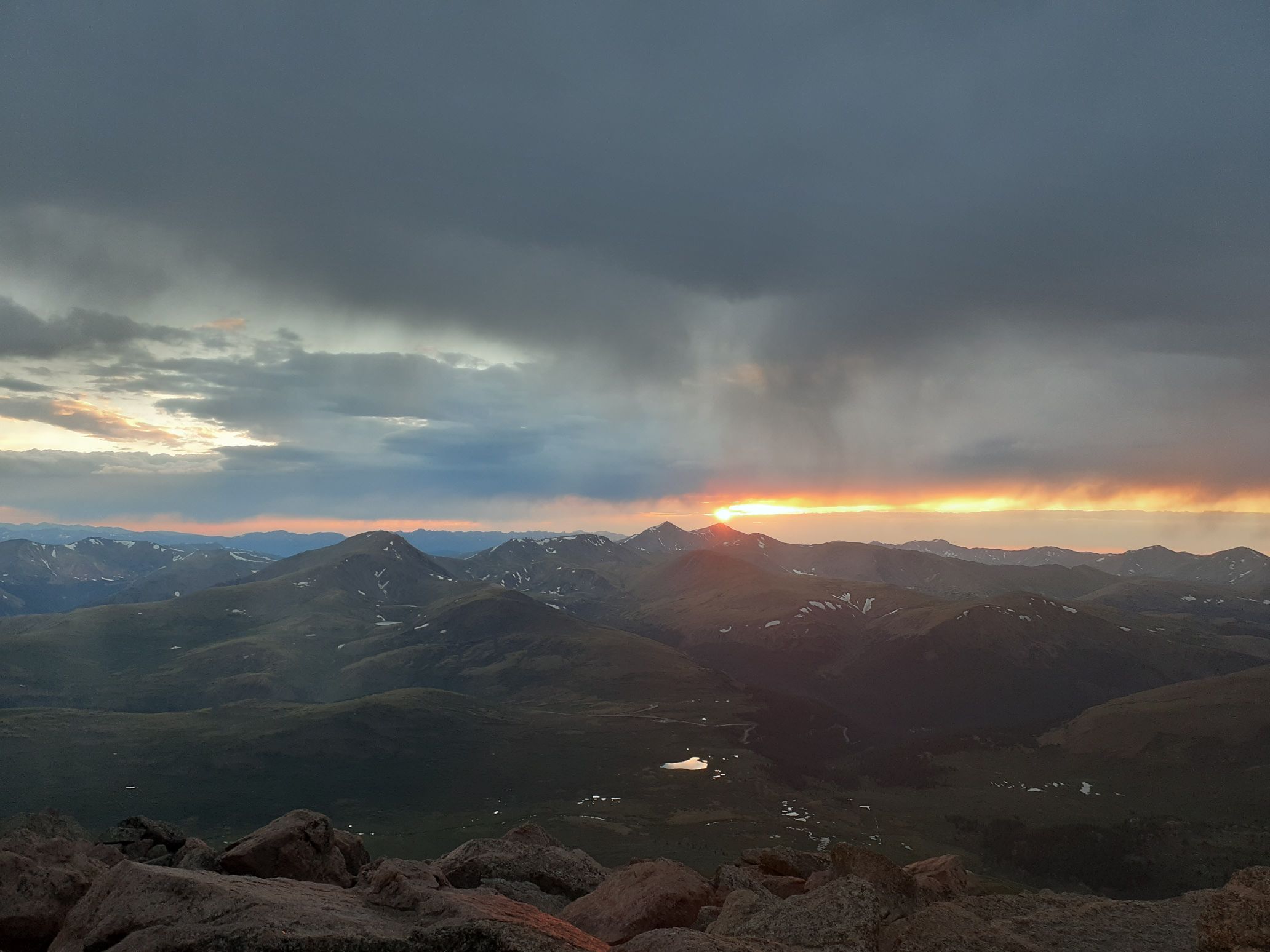
Back to top
July 19 – Longs Peak and Mt Meeker
I reached the trailhead around 12:30am and soon started driving. By now I was really tired, having averaged only an hour or two of sleep per day over the past four days. But I only had two peaks left and it looked like I could finish in time to maybe even get a full rest day before my Wyoming trip.
To stay awake I continuously sipped on red bull and nibbled on chocolate chips. Every half hour I would also stop and dump water on my face and jog around the car, and this was actually very effective. I rolled into the Longs Peak trailhead at 2:55am and it was already almost full! This was probably because it was a Sunday. I’d read that Rocky Mountain National Park started requiring permits to enter between 6am – 5pm, but was permit-free before 6am. So I was happy to have avoided any red tape with my final peaks.
I had actually previously climbed Longs Peak back in November with Jake so was familiar with the route. I left the car by 3:15am and passed a bunch of other hikers. By sunrise I reached the boulderfield and had great views of Longs Peak. Interestingly I saw headlamps on top, so some groups had summitted for sunrise.
I scrambled up to the keyhole, then scrambled across and up the trough, passing more groups along the way. Luckily I had the narrows to myself, since that would be a tricky place to pass anyone. I then scrambled up the home stretch, which was very smooth and slippery from so many people over the years, but still easier than when I had climbed up the verglassed rock in crampons in November.
By 6:30am I reached the summit, my 99th Centennial. There was only one other hiker there, and I stopped for about 5 minutes to enjoy the view. But I was eager to get to peak 100, so started down. From the bottom of the home stretch I scrambled down and climbers left into a gully. I scrambled down the gully, then over a rock rib and up scree slopes to the loft. From the loft I found a climbers trail up to Meeker. I made the final scramble to the highest rock by 8am, officially completing the Centennials 33 days, 23 hours after starting on Pikes Peak.
I hung out for a while and celebrated with a ham egg and cheese breakfast sandwhich from a gas station, and some white chocolate cookies.
As I descended another hiker was coming up and she was nice enough to take my picture. She’d come up the direct 3rd class route, and said it was snow free. This was great, since it meant I could make a loop hike and avoid hiking back through the narrows and the crowded keyhole route. I had a fun scramble back down, took a break to admire Chasm Lake, then made it back to the car.
That afternoon I drove in to Estes Park and booked a hotel room. I filled up on Dominoes Pizza and Ben and Jerrys ice cream, did laundry, and bought 3 weeks of food to get ready for my upcoming trip to Wyoming. I fell asleep around 4pm and got about 12 hours of sleep that night in the hotel room before I was woken up by mice rustling through all my food at 4am. So I got up then, packed up, and then started the long drive to Pinedale for my next project – setting the FKT for the Wyoming 13ers.
[Note: I would go on to set the FKT for the Wyoming 13ers at 16 days 17 hours, then immediately afterwards set the self-supported speed record for the Montana 12ers at 6 days 23 hours.]
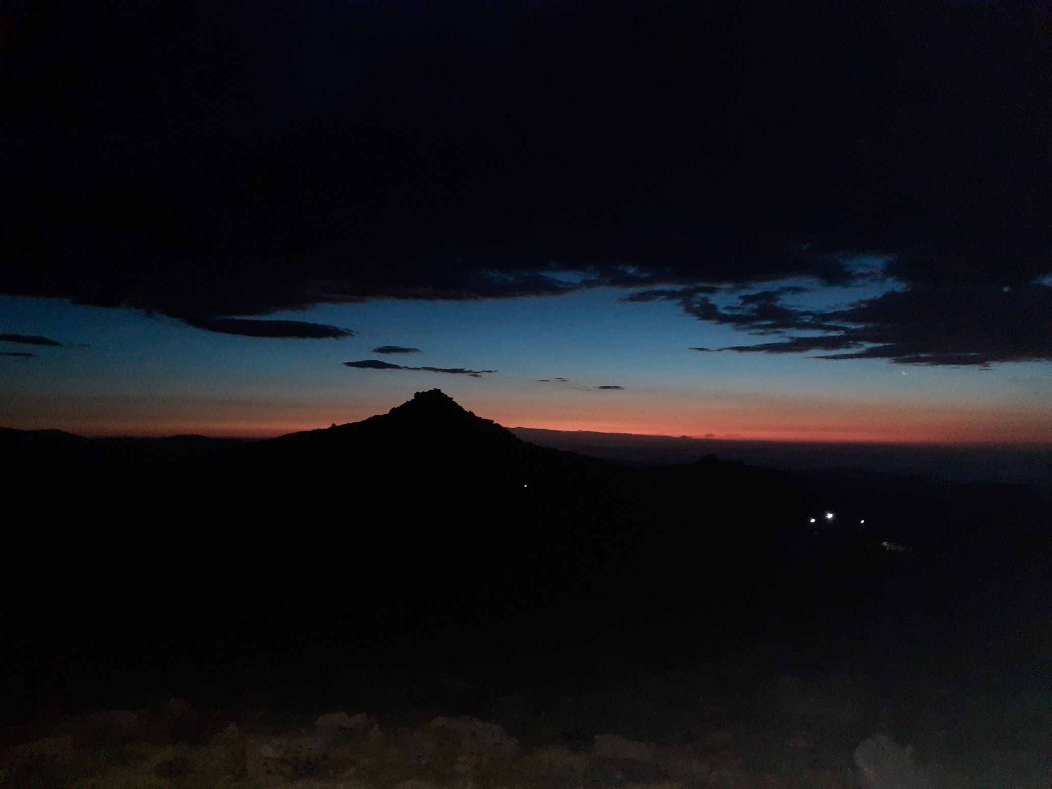

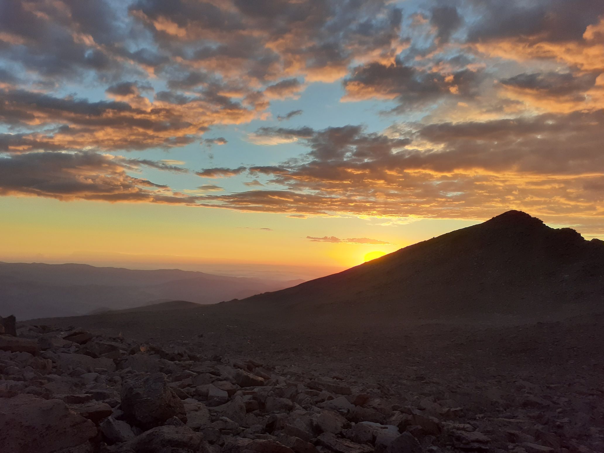
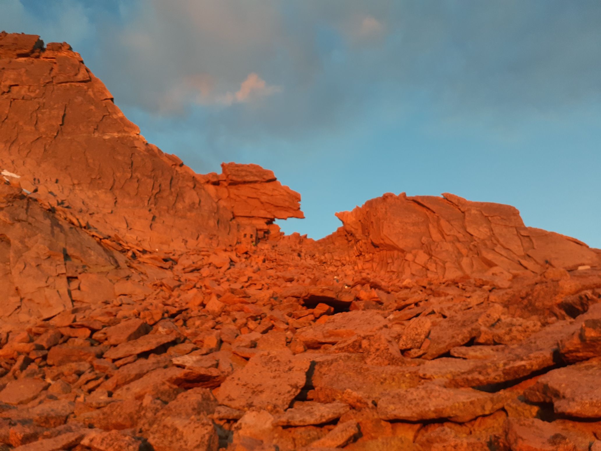
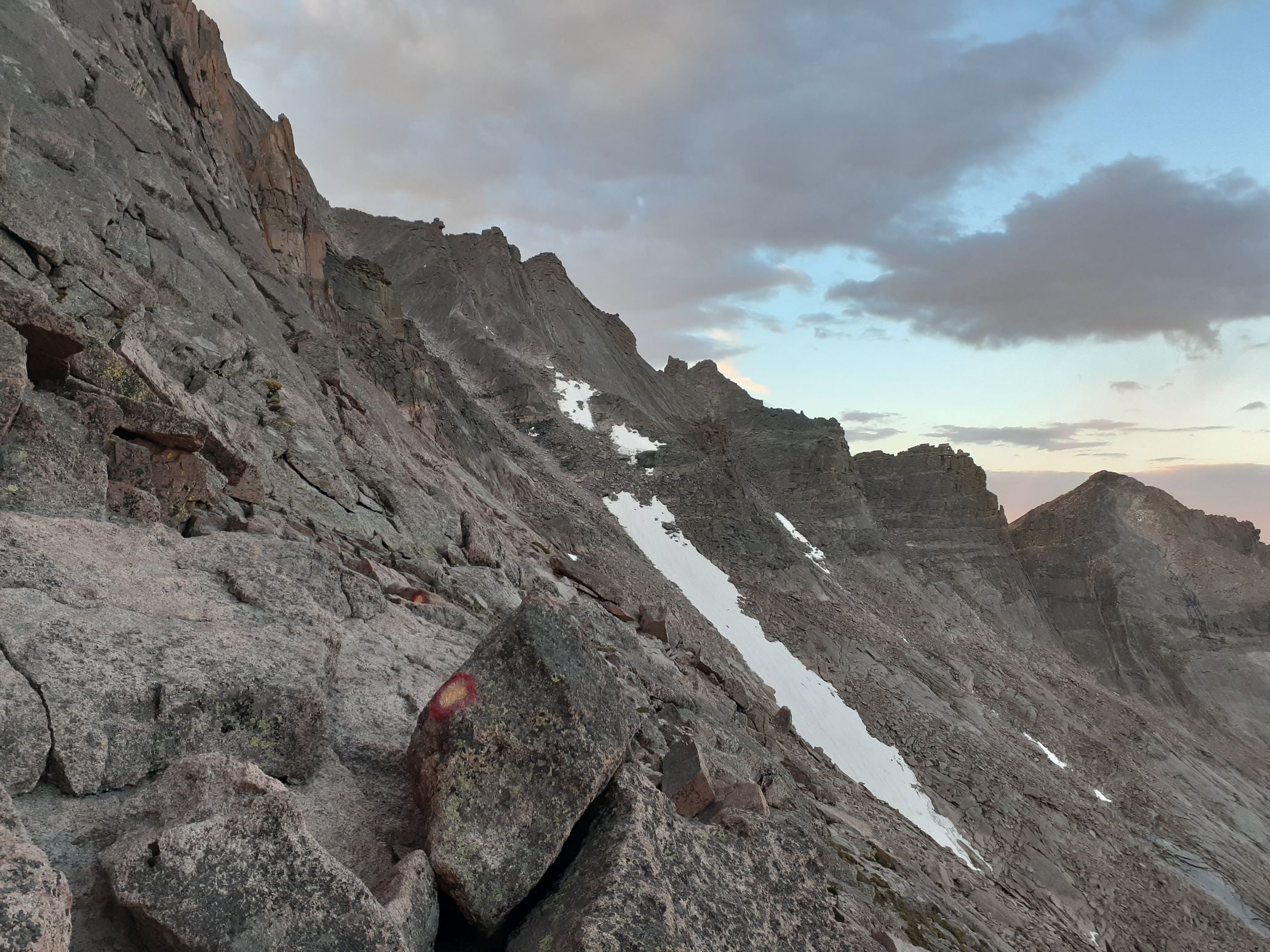
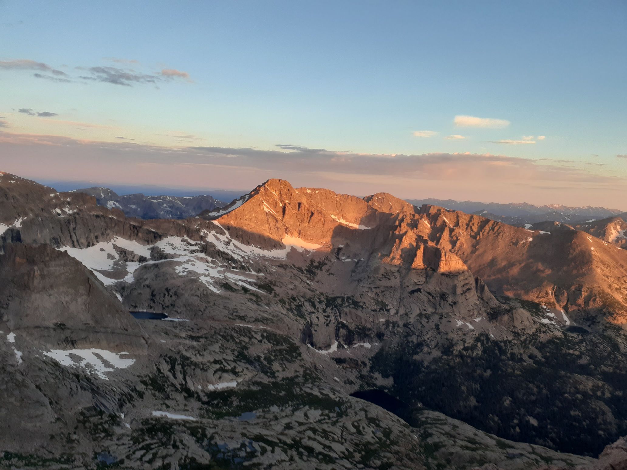
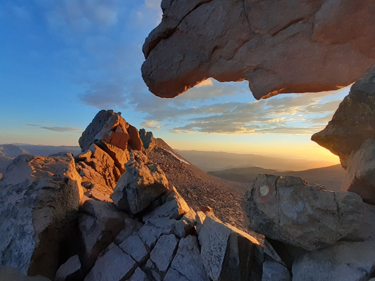
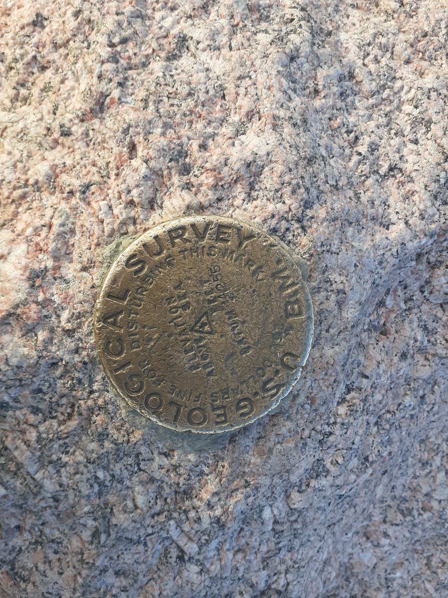
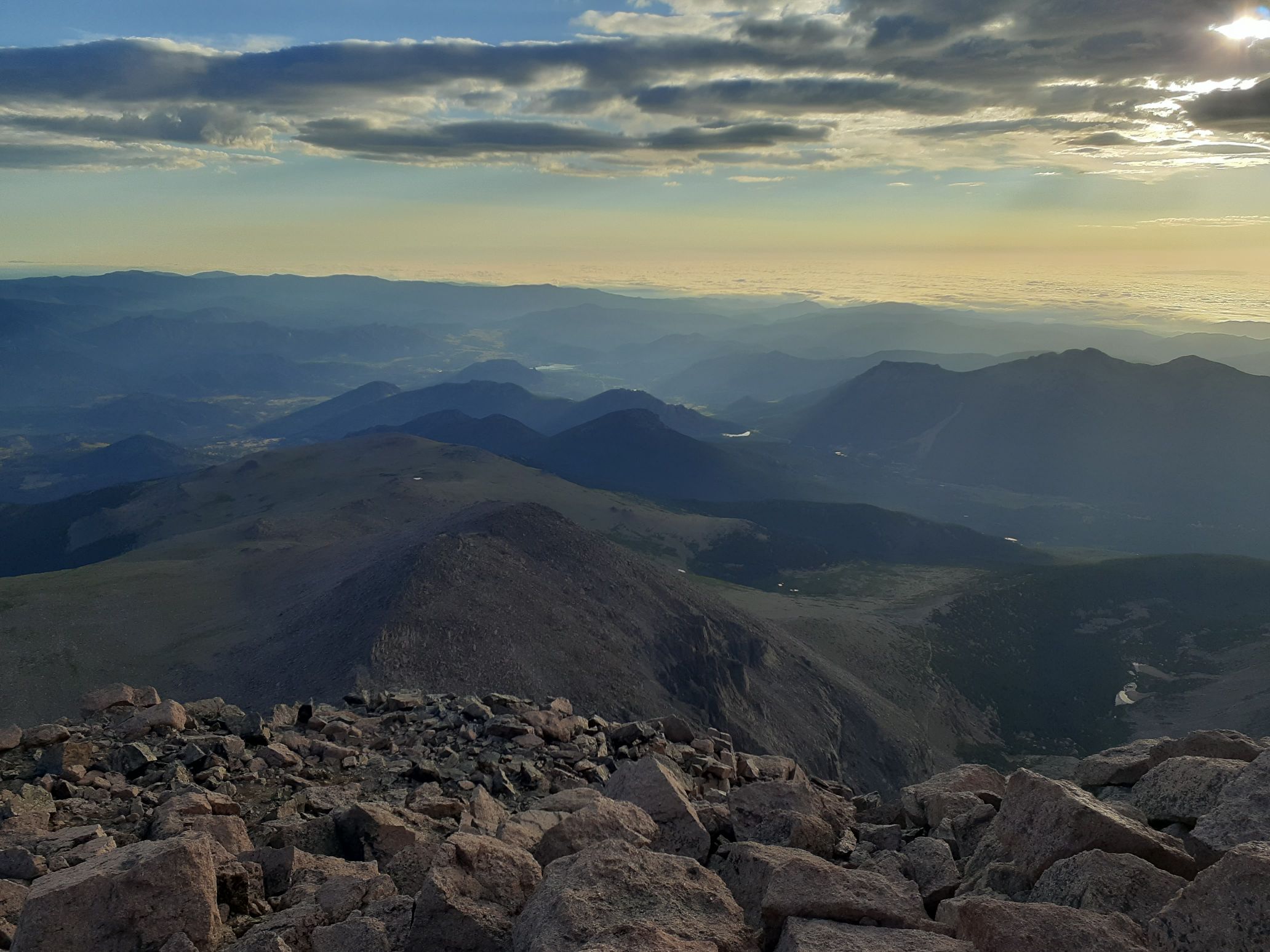
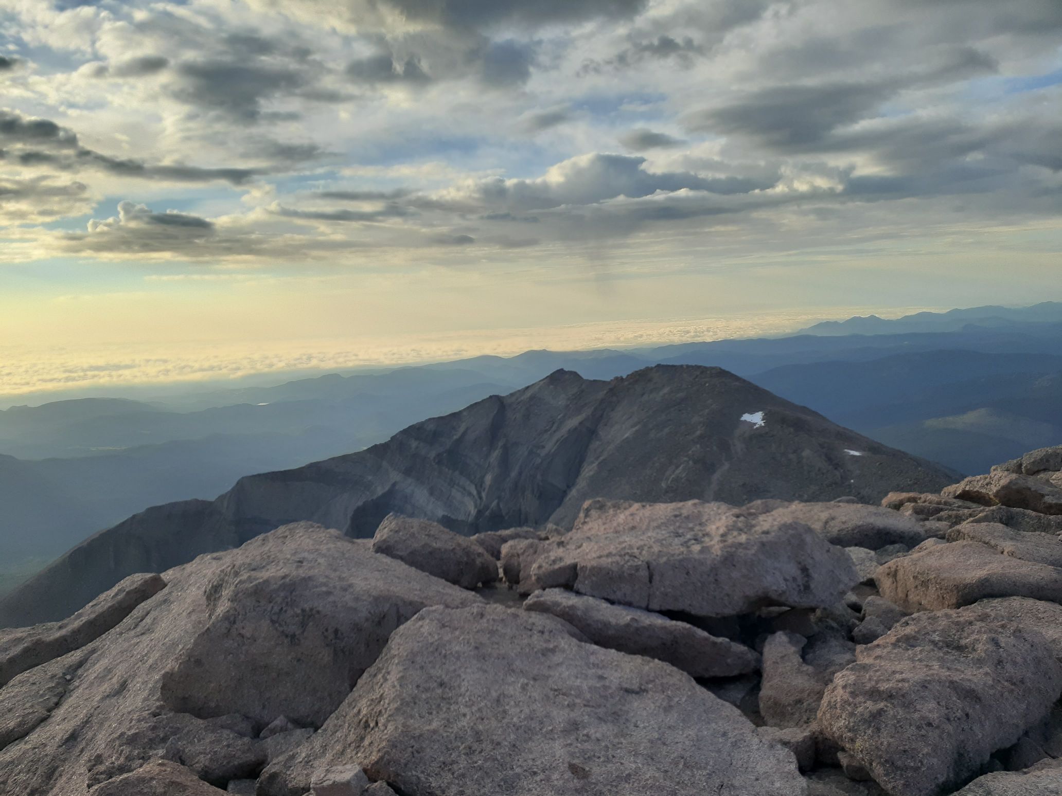
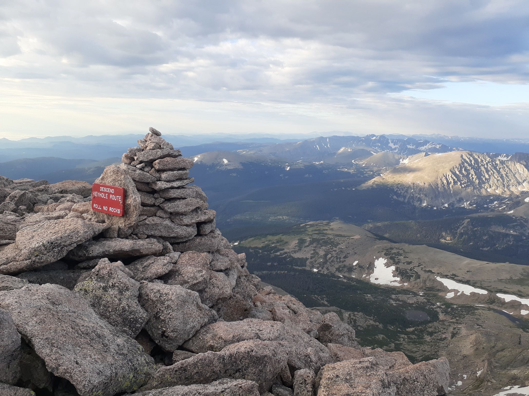
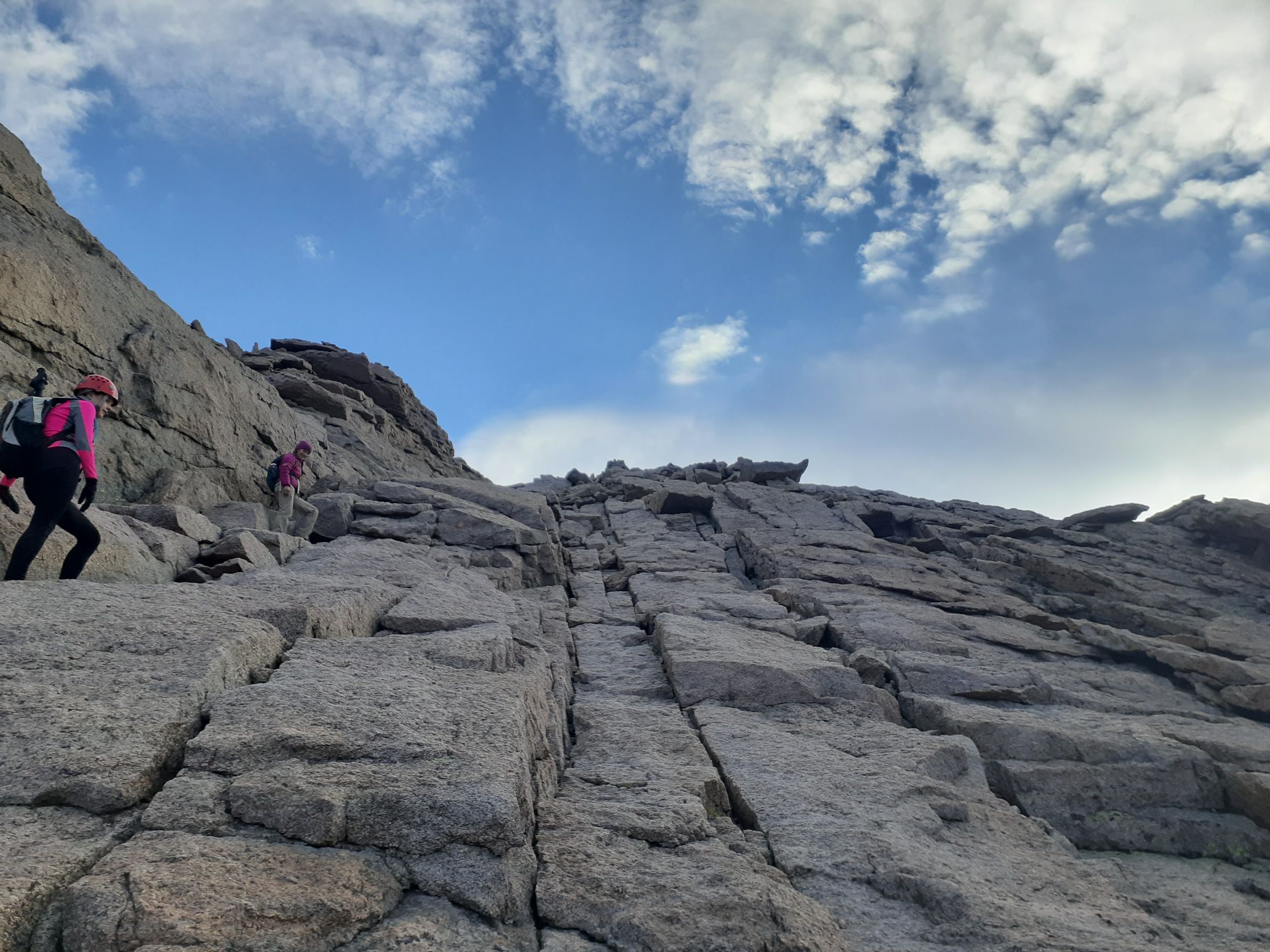
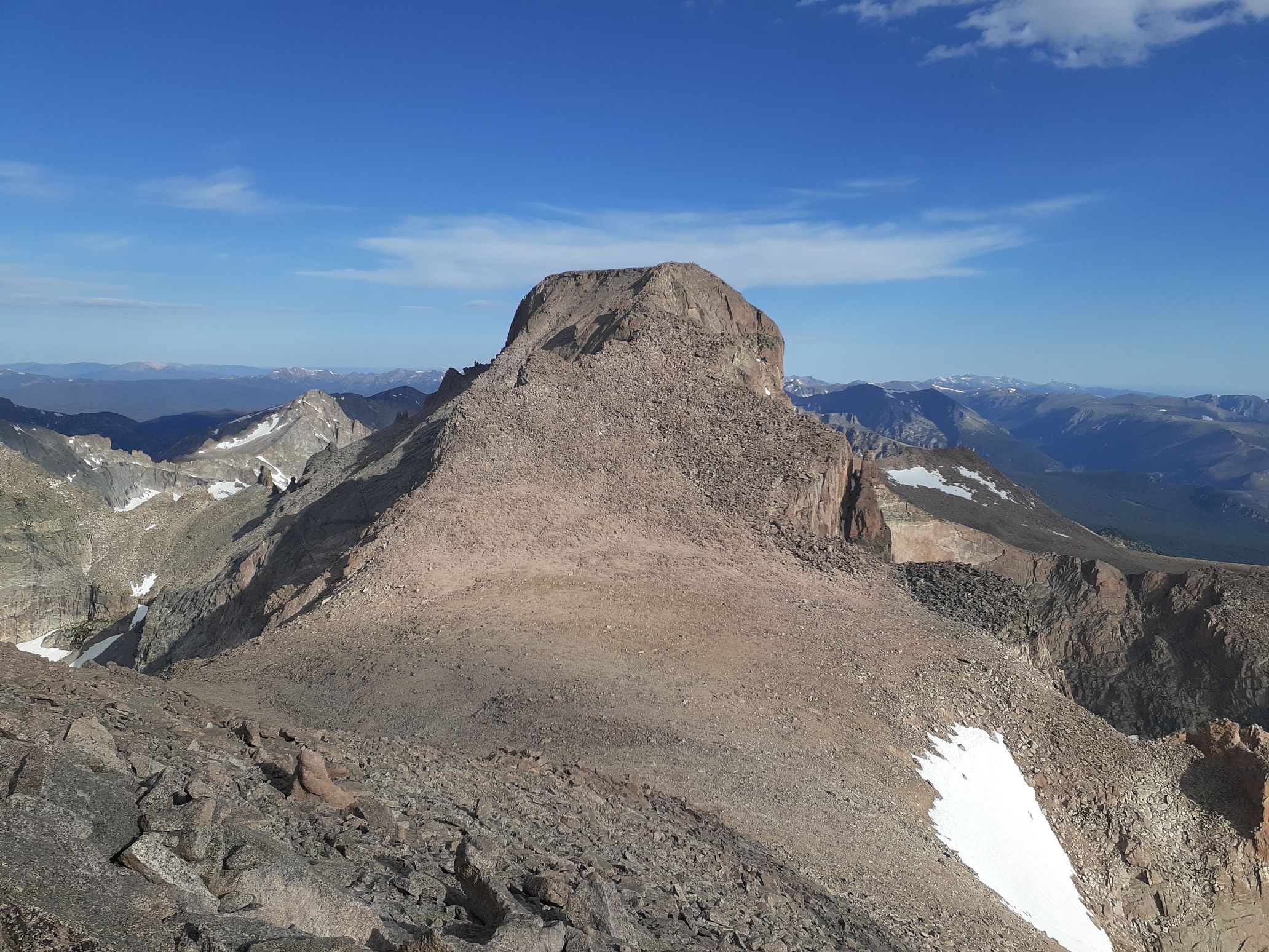
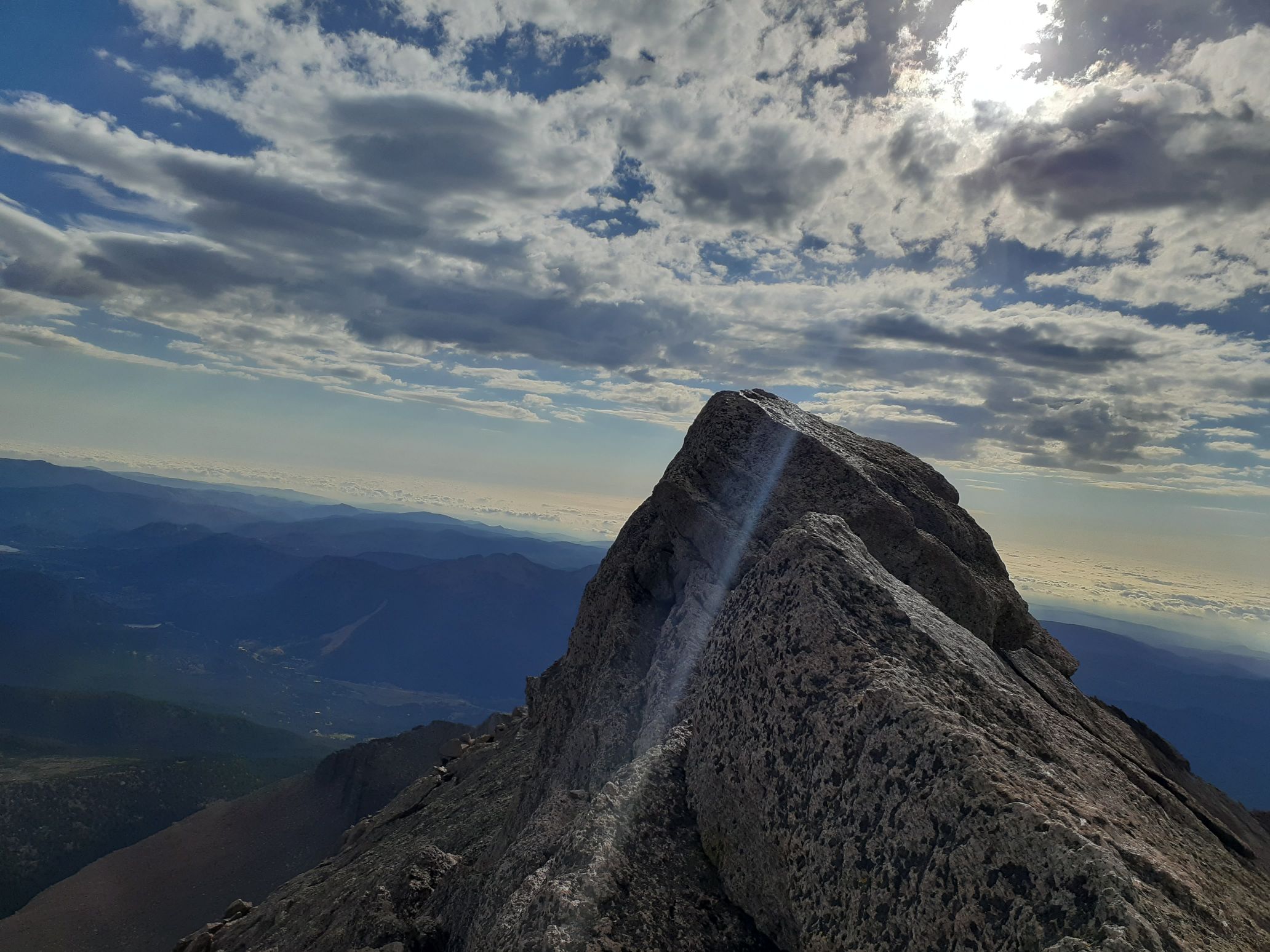
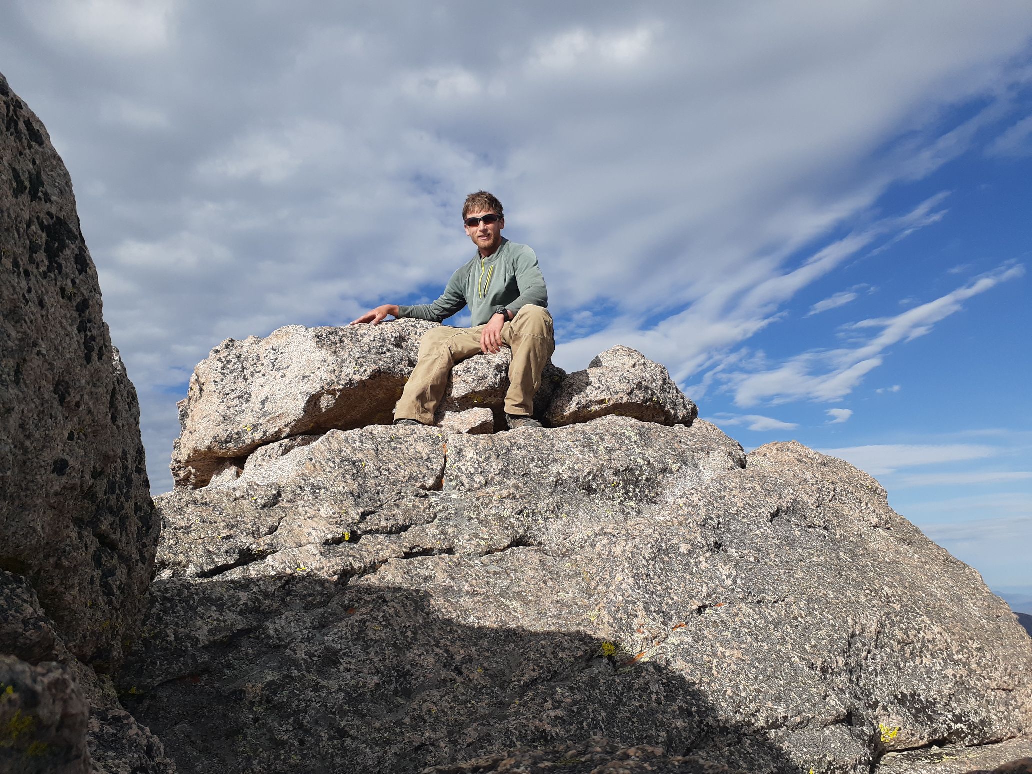
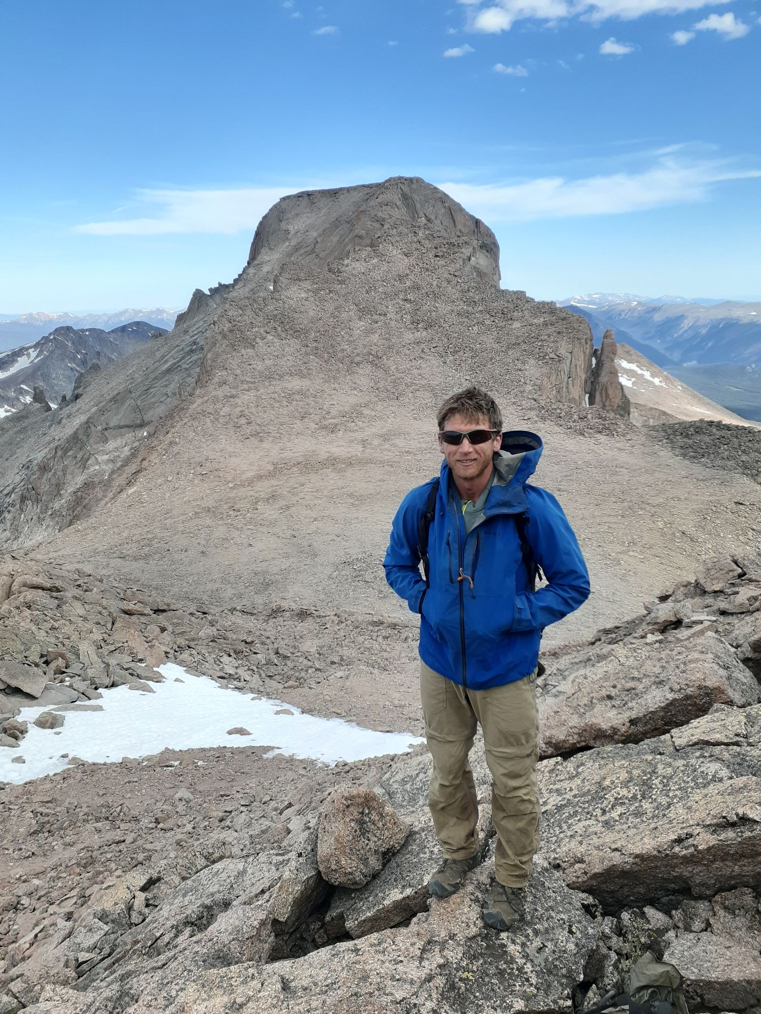
© 2020 – 2023, egilbert@alum.mit.edu. All rights reserved.
You must be logged in to post a comment.